Kobelberg
703 م2,306 قدم
جبل · Bavarian Forest · ألمانيا
The Kobelberg is a forested mountain ridge running from north to south within the municipality of Wiesenfelden in the Bavarian Forest in southern Germany. It lies south of the village of Schiederhof between the source regions of the Großer Leitenbach to the east and the Breimbach to the west.
من Wikipedia، CC BY-SA · اقرأ المقال
على القمة · توقعات الساعة 11:00 م
4 °Cصافٍ · رياح 8 km/h من جنوبية شرقية
الطقس على قمة Kobelberg، 703 م
- 11:00 م4 °Cجنوبية شرقية 8 km/h–
- 2:00 ص3 °Cجنوبية شرقية 6 km/h–
- 5:00 ص2 °Cجنوبية شرقية 5 km/h–
- 8:00 ص3 °Cجنوبية شرقية 8 km/h1 mm
- 11:00 ص6 °Cغربية 4 km/h0.8 mm
- 2:00 م8 °Cشمالية غربية 11 km/h–
- 5:00 م8 °Cشمالية غربية 13 km/h–
- 8:00 م7 °Cشمالية غربية 12 km/h–
| التاريخ | حالة السماء | العظمى / الصغرى | مطر | الرياح حتى |
|---|---|---|---|---|
| الأربعاء، 28 أكتوبر | مطر خفيف | 8 °C / 2 °C | 1.8 mm | 13 km/h |
| الخميس، 29 أكتوبر | صافٍ غالبًا | 9 °C / 2 °C | – | 10 km/h |
| الجمعة، 30 أكتوبر | صافٍ | 9 °C / -1 °C | – | 15 km/h |
| السبت، 31 أكتوبر | غائم جزئيًا | 9 °C / 1 °C | – | 8 km/h |
| الأحد، 1 نوفمبر | غائم جزئيًا | 7 °C / 3 °C | – | 10 km/h |
| الاثنين، 2 نوفمبر | مطر | 6 °C / -0 °C | 1.5 mm | 11 km/h |
| الثلاثاء، 3 نوفمبر | مطر خفيف | 5 °C / 2 °C | 0.8 mm | 15 km/h |
التوقعات من MET Norway (CC BY 4.0)، آخر تحديث 08:17 م غرينتش+1. الأوقات بالتوقيت المحلي.
حقائق
- النوع
- جبل
- الارتفاع عن سطح البحر
- 703 م (2,306 قدم)
- البروز
- 75 م (246 قدم)
- السلسلة الجبلية
- Bavarian Forest
- الدولة
- ألمانيا
- إحداثيات
- 49.014°N 12.519°E
- المصدر
- ويكي بيانات، CC0
Kobelberg
Mountain in Germany
The Kobelberg is a forested mountain ridge running from north to south within the municipality of Wiesenfelden in the Bavarian Forest in southern Germany. It lies south of the village of Schiederhof between the source regions of the Großer Leitenbach to the east and the Breimbach to the west. Its three summits have heights of 692 m, 698.3 m und 703 m.
من Wikipedia، CC BY-SA · اقرأ المقال
قمم قرب Kobelberg
- غالنر709 م · على بعد 12 كمعلى الخريطة
- Hadriwa (Bavarian Forest, Zell)677 م · على بعد 15 كمعلى الخريطة
- Hadriwa (Bavarian Forest, Haibach)922 م · على بعد 18 كمعلى الخريطة
- Käsplatte978 م · على بعد 21 كمعلى الخريطة
- Pröller1,048 م · على بعد 22 كمعلى الخريطة
- Predigtstuhl1,024 م · على بعد 24 كمعلى الخريطة
- Knogl1,056 م · على بعد 25 كمعلى الخريطة
- Hirschenstein1,092 م · على بعد 27 كمعلى الخريطة
- Kälberbuckel1,054 م · على بعد 27 كمعلى الخريطة
- Klausenstein1,048 م · على بعد 28 كمعلى الخريطة
الأعلى في Bavarian Forest
- Großer Rachel1,453 معلى الخريطة
- Kleiner Arber1,384 معلى الخريطة
- Bayerischer Plöckenstein1,362 معلى الخريطة
- Großer Falkenstein1,315 معلى الخريطة
- Enzian1,285 معلى الخريطة
- Kiesruck1,265 معلى الخريطة
- Hahnenbogen1,257 معلى الخريطة
- Waldhäuserriegel1,151 معلى الخريطة
- Kobelberg703 معلى الخريطة
أعلى الجبال في ألمانيا
- قمة تسوغشبيتسه2,962 معلى الخريطة
- Hochwanner2,744 معلى الخريطة
- Dreitorspitze2,682 معلى الخريطة
- Hochkalter2,607 معلى الخريطة
- Biberkopf2,599 معلى الخريطة
- Großer Hundstod2,594 معلى الخريطة
- Hochvogel2,592 معلى الخريطة
- Östliche Karwendelspitze2,538 معلى الخريطة
- Hocheisspitze2,523 معلى الخريطة
- Hoher Göll2,522 معلى الخريطة
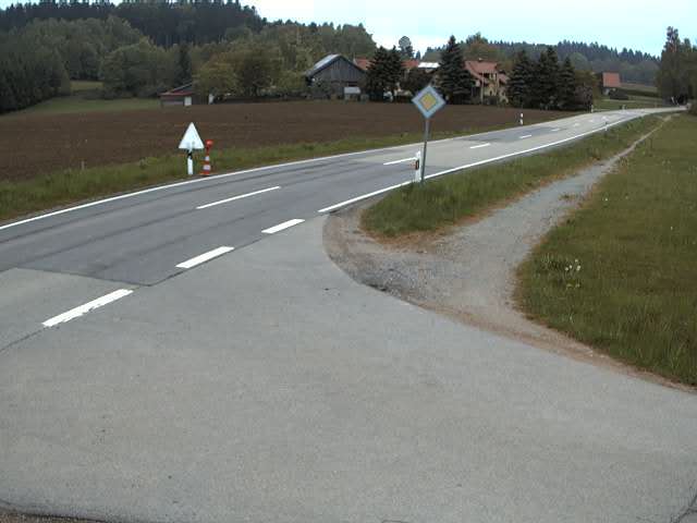
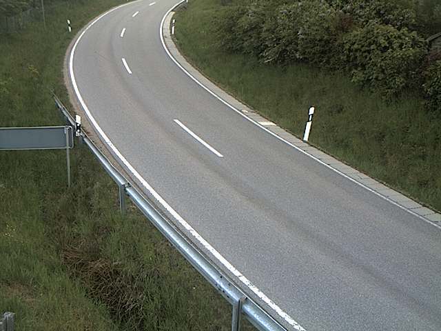
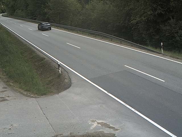
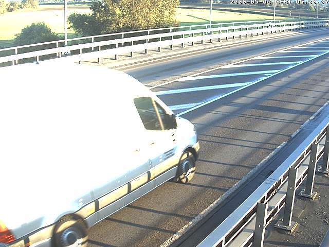
كاميرات ويب قرب Kobelberg
مدن قرب Kobelberg
- Straubingعلى بعد 15 كم
- Chamعلى بعد 26 كم
- Regensburgعلى بعد 30 كم
- Deggendorfعلى بعد 38 كم
- Dingolfingعلى بعد 41 كم
- Schwandorf in Bayernعلى بعد 46 كم