Cow Mountain
Berg · Vereinigte Staaten
Cow Mountain is a ridge in the Mayacamas Mountains in Lake County, California, and Mendocino County, California. It is home to two large recreation areas. One is closed to off-road vehicles and the other is not.
Aus Wikipedia, CC BY-SA · Artikel lesen
Am Gipfel · Vorhersage für 5:00
36 °FNebel · Wind 4 mph aus NO
 In 3D ansehen
Wettervorhersage für Cow Mountain
- 5:0036 °FNO 4 mph–
- 8:0036 °FO 3 mph–
- 11:0053 °FNW 4 mph–
- 14:0061 °FNW 6 mph–
- 17:0055 °FNW 9 mph–
- 20:0045 °FNW 6 mph–
- 23:0044 °FNW 4 mph–
- 2:0043 °FNO 3 mph–
| Tag | Himmel | Max. / Min. | Regen | Wind bis |
|---|---|---|---|---|
| Heute | Überwiegend klar | 61 °F / 36 °F | – | 9 mph |
| Do., 29. Okt. | Bewölkt | 62 °F / 41 °F | – | 7 mph |
| Fr., 30. Okt. | Teilweise bewölkt | 59 °F / 39 °F | – | 9 mph |
| Sa., 31. Okt. | Überwiegend klar | 50 °F / 35 °F | – | 8 mph |
| So., 1. Nov. | Klar | 55 °F / 36 °F | – | 6 mph |
| Mo., 2. Nov. | Klar | 62 °F / 38 °F | – | 5 mph |
| Di., 3. Nov. | Bewölkt | 68 °F / 45 °F | – | 4 mph |
Vorhersage von MET Norway (CC BY 4.0), aktualisiert um 01:19 GMT-7. Zeiten in Ortszeit.
Fakten
- Art
- Berg
- Koordinaten
- 39.093°N 123.354°W
- Quelle
- Wikidata, CC0
Cow Mountain
Ridge in California, U.S.
Cow Mountain is a ridge in the Mayacamas Mountains in Lake County, California, and Mendocino County, California. It is home to two large recreation areas. One is closed to off-road vehicles and the other is not. Erosion from the mountain, caused in part by human land use, contributes sediment and nutrients to Clear Lake.
Aus Wikipedia, CC BY-SA · Artikel lesen
Gipfel nahe Cow Mountain
- Frog Woman Rock879 ft · 33 km entferntAuf der Karte
- Mount Konocti4.305 ft · 52 km entferntAuf der Karte
- Cow Mountain RidgeHügel · 24 km entferntAuf der Karte
- Pyramid RidgeBerg · 26 km entferntAuf der Karte
- Horse MountainBerg · 41 km entferntAuf der Karte
- Elk MountainBerg · 42 km entferntAuf der Karte
- Mahnke PeakBerg · 50 km entferntAuf der Karte
- Bald HillBerg · 54 km entferntAuf der Karte
- Mount HannahBerg · 57 km entferntAuf der Karte
Höchste Berge in Vereinigte Staaten
- Denali20.308 ftAuf der Karte
- Mount Saint Elias18.009 ftAuf der Karte
- Mount Foraker17.402 ftAuf der Karte
- Mount Bona16.535 ftAuf der Karte
- Mount Blackburn16.390 ftAuf der Karte
- Mount Sanford16.237 ftAuf der Karte
- Mount Vancouver15.787 ftAuf der Karte
- Mount Churchill15.636 ftAuf der Karte
- Mount Fairweather15.325 ftAuf der Karte
- Mount Hubbard14.951 ftAuf der Karte
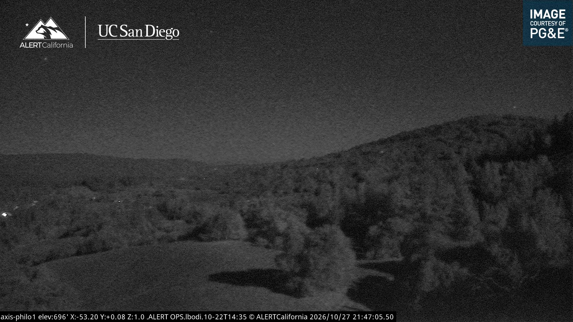
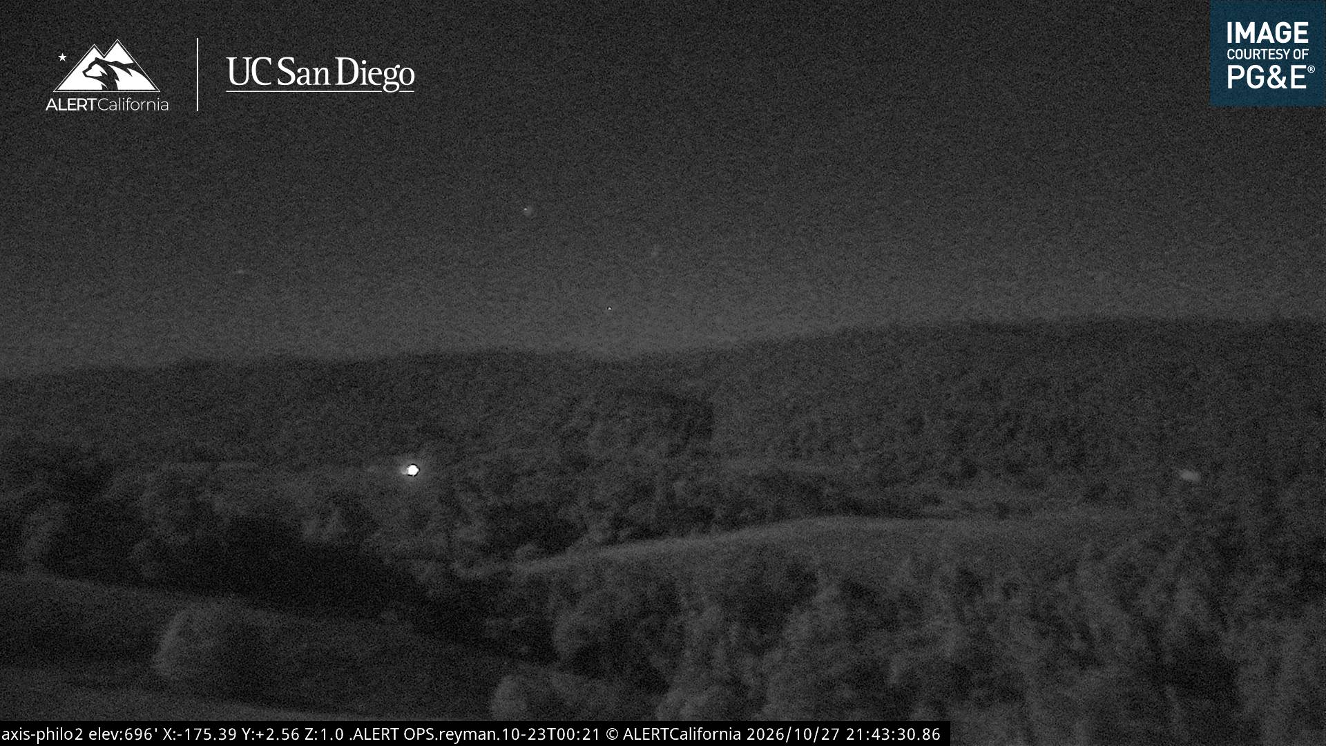
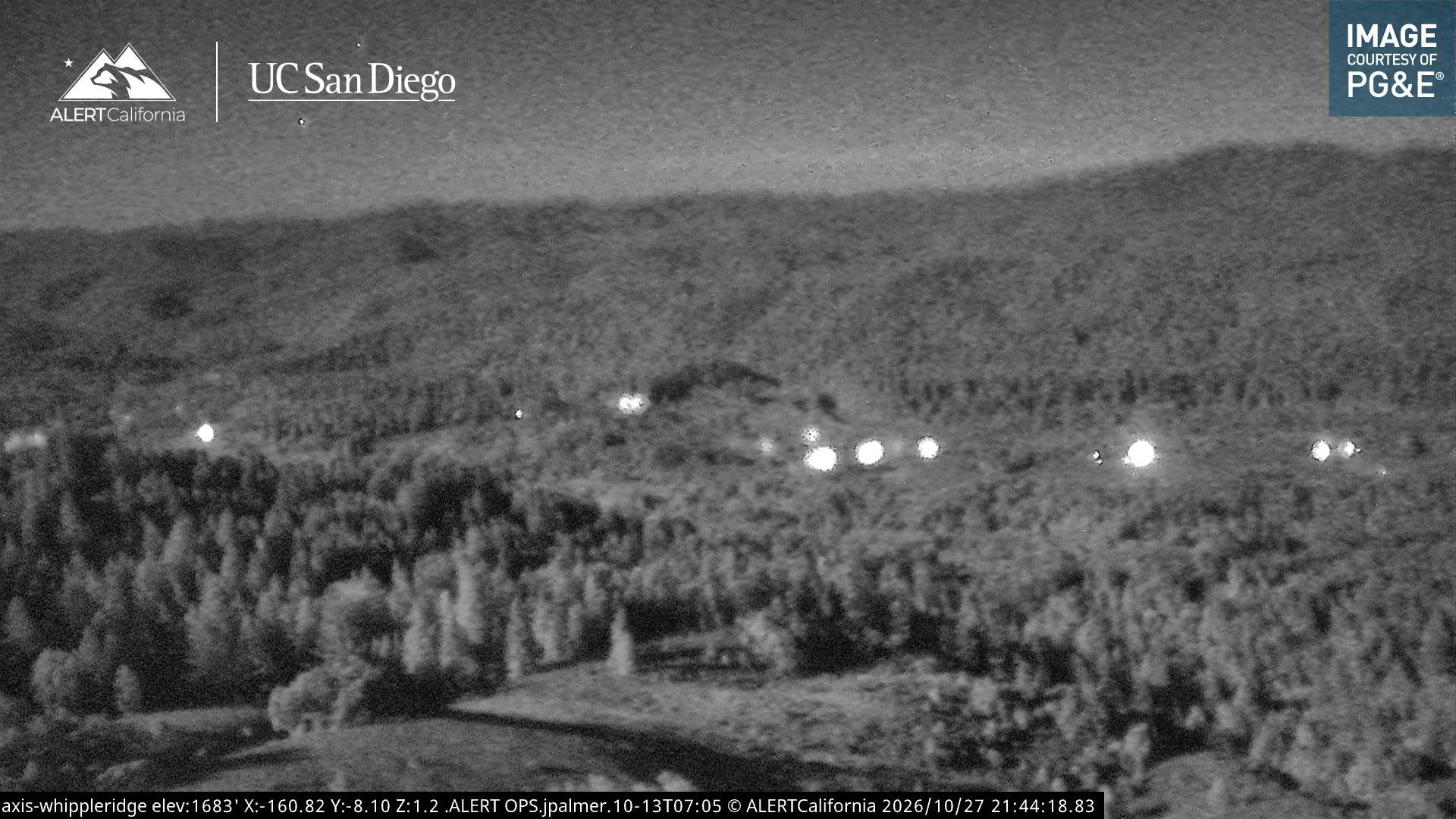
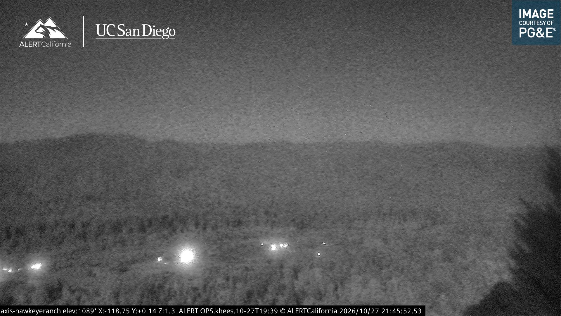
Webcams nahe Cow Mountain
Geschichte rund um Cow Mountain
Orte nahe Cow Mountain
- Ukiah14 km entfernt
- Willits35 km entfernt
- Point Arena36 km entfernt
- Lakeport38 km entfernt
- Cloverdale44 km entfernt
- Fort Bragg55 km entfernt