Berge in Schweiz
Jolimont
603 m1.978 ft
Berg · Schweiz
The Jolimont is a hill that stretches Southwest to Northeast for about 4 km along the Thielle canal, between the Lake of Neuchâtel and the Lake of Bienne, in the Seeland, Switzerland.
Aus Wikipedia, CC BY-SA · Artikel lesen
Am Gipfel · Vorhersage für 20:00
10 °CKlar · Wind 4 km/h aus NW
 In 3D ansehen
Wetter auf dem Gipfel: Jolimont, 603 m
- 20:0010 °CNW 4 km/h–
- 23:0010 °CNW 7 km/h–
- 2:0011 °CNW 5 km/h0,1 mm
- 5:0010 °CNW 8 km/h1,5 mm
- 8:0010 °CNW 8 km/h–
- 11:0011 °CN 7 km/h–
- 14:0013 °CO 10 km/h–
- 17:0012 °CNO 13 km/h–
| Tag | Himmel | Max. / Min. | Regen | Wind bis |
|---|---|---|---|---|
| Mi., 28. Okt. | Teilweise bewölkt | 13 °C / 9 °C | 1,6 mm | 13 km/h |
| Do., 29. Okt. | Teilweise bewölkt | 11 °C / 7 °C | – | 17 km/h |
| Fr., 30. Okt. | Teilweise bewölkt | 9 °C / 6 °C | 0,1 mm | 12 km/h |
| Sa., 31. Okt. | Teilweise bewölkt | 9 °C / 6 °C | – | 10 km/h |
| So., 1. Nov. | Überwiegend klar | 10 °C / 6 °C | – | 13 km/h |
| Mo., 2. Nov. | Klar | 10 °C / 5 °C | – | 15 km/h |
| Di., 3. Nov. | Teilweise bewölkt | 9 °C / 4 °C | – | 14 km/h |
Vorhersage von MET Norway (CC BY 4.0), aktualisiert um 18:17 MEZ. Zeiten in Ortszeit.
Fakten
- Art
- Berg
- Höhe über dem Meer
- 603 m (1.978 ft)
- Schartenhöhe
- 156 m (512 ft)
- Land
- Schweiz
- Koordinaten
- 47.025°N 7.061°E
- Quelle
- Wikidata, CC0
Gipfel nahe Jolimont
- Chasseral1.607 m · 12 km entferntAuf der Karte
- Mont Racine1.439 m · 19 km entferntAuf der Karte
- Grand Som Martel1.337 m · 24 km entferntAuf der Karte
- Creux du Van1.232 m · 27 km entferntAuf der Karte
- Gurten858 m · 31 km entferntAuf der Karte
- Grenchenberg1.405 m · 33 km entferntAuf der Karte
- Gibloux1.205 m · 38 km entferntAuf der Karte
- Hasenmatt1.445 m · 38 km entferntAuf der Karte
- Berra1.719 m · 40 km entferntAuf der Karte
- Mont Raimeux1.302 m · 42 km entferntAuf der Karte
Höchste Berge in Schweiz
- Dufourspitze4.634 mAuf der Karte
- Dom4.546 mAuf der Karte
- Liskamm4.532 mAuf der Karte
- Weisshorn4.505 mAuf der Karte
- Matterhorn4.478 mAuf der Karte
- Dent Blanche4.357 mAuf der Karte
- Grand Combin4.309 mAuf der Karte
- Finsteraarhorn4.274 mAuf der Karte
- Zinalrothorn4.221 mAuf der Karte
- Alphubel4.206 mAuf der Karte
Webcams nahe Jolimont
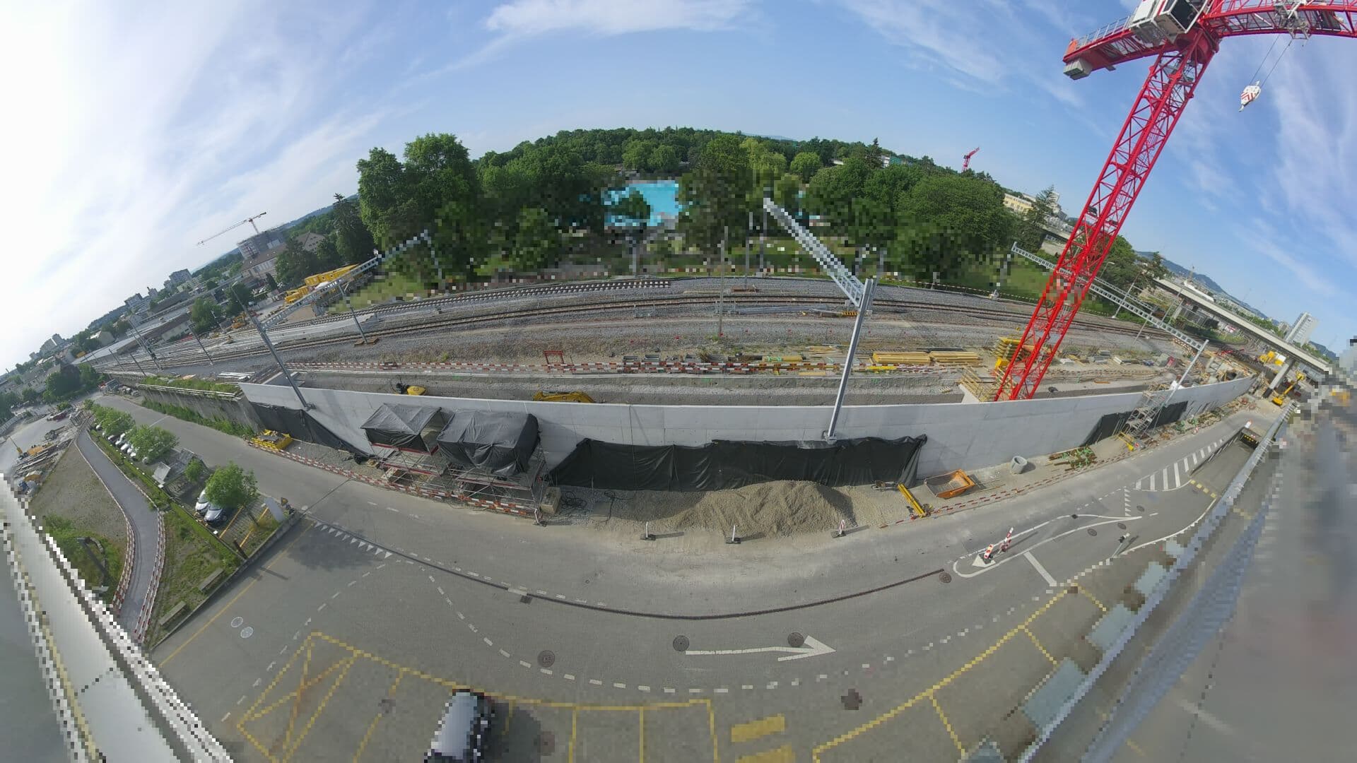 For Haltestelle Bern Europaplatz Nord: https://company.sbb.ch/de/bahnentwicklung/projekte/deutschschweiz/region-bern/bahnknoten-bern/bern-west/projekt/bahnhof-europaplatz-nord.html28 km vom Gipfel
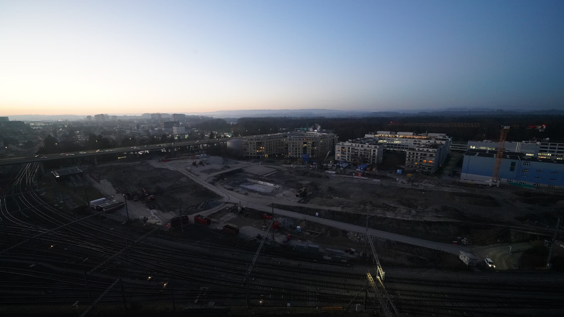 For BFH construction site: https://www.campus-bern.bvd.be.ch/de/start/bauphase.html28 km vom Gipfel
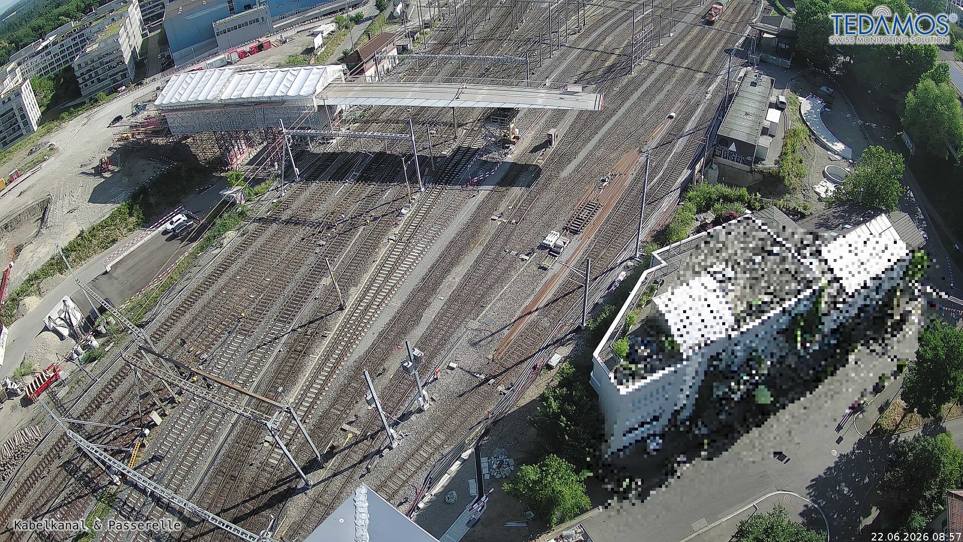 For "Leistungssteigerung Bern West": https://company.sbb.ch/de/bahnentwicklung/projekte/deutschschweiz/region-bern/bahnknoten-bern/bern-west/28 km vom Gipfel
 Webcam29 km vom Gipfel