Berge in Vereinigte Staaten
Minor's Hill
Berg · Vereinigte Staaten
Minor's Hill is a geographic eminence located in the western tip of Arlington County, Virginia. Its summit rises to 459 feet above sea level which makes it the highest point in the county. The hill is named after a man named George Minor who lived there at the time of the American Revolutionary War.
Aus Wikipedia, CC BY-SA · Artikel lesen
Am Gipfel · Vorhersage für 19:00
60 °FKlar · Wind 5 mph aus O
 In 3D ansehen
Wettervorhersage für Minor's Hill
- 19:0060 °FO 5 mph–
- 22:0056 °FO 5 mph–
- 1:0053 °FSO 6 mph–
- 4:0051 °FO 4 mph–
- 7:0049 °FO 4 mph–
- 10:0057 °FO 4 mph–
- 13:0064 °FSO 5 mph–
- 16:0065 °FSO 5 mph–
| Tag | Himmel | Max. / Min. | Regen | Wind bis |
|---|---|---|---|---|
| Mi., 28. Okt. | Überwiegend klar | 65 °F / 49 °F | – | 6 mph |
| Do., 29. Okt. | Teilweise bewölkt | 70 °F / 49 °F | – | 7 mph |
| Fr., 30. Okt. | Klar | 72 °F / 53 °F | – | 10 mph |
| Sa., 31. Okt. | Bewölkt | 63 °F / 48 °F | – | 7 mph |
| So., 1. Nov. | Teilweise bewölkt | 67 °F / 49 °F | – | 8 mph |
| Mo., 2. Nov. | Überwiegend klar | 69 °F / 53 °F | – | 7 mph |
| Di., 3. Nov. | Teilweise bewölkt | 71 °F / 55 °F | – | 9 mph |
Vorhersage von MET Norway (CC BY 4.0), aktualisiert um 15:17 GMT-4. Zeiten in Ortszeit.
Fakten
- Art
- Berg
- Koordinaten
- 38.903°N 77.157°W
- Quelle
- Wikidata, CC0
Gipfel nahe Minor's Hill
- Point Reno409 ft · 8,9 km entferntAuf der Karte
- Hogback Mountain670 ft · 44 km entferntAuf der Karte
- Sugar Loaf Mountain1.282 ft · 45 km entferntAuf der Karte
- Tinner HillHügel · 3,1 km entferntAuf der Karte
- Upton's HillHügel · 3,4 km entferntAuf der Karte
- Mason's HillHügel · 7,5 km entferntAuf der Karte
- Furnace MountainBerg · 53 km entferntAuf der Karte
Höchste Berge in Vereinigte Staaten
- Denali20.308 ftAuf der Karte
- Mount Saint Elias18.009 ftAuf der Karte
- Mount Foraker17.402 ftAuf der Karte
- Mount Bona16.535 ftAuf der Karte
- Mount Blackburn16.390 ftAuf der Karte
- Mount Sanford16.237 ftAuf der Karte
- Mount Vancouver15.787 ftAuf der Karte
- Mount Churchill15.636 ftAuf der Karte
- Mount Fairweather15.325 ftAuf der Karte
- Mount Hubbard14.951 ftAuf der Karte
Webcams nahe Minor's Hill
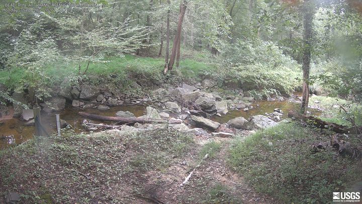
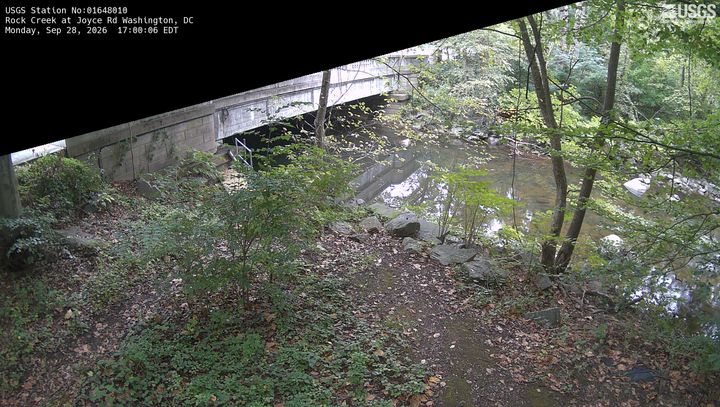
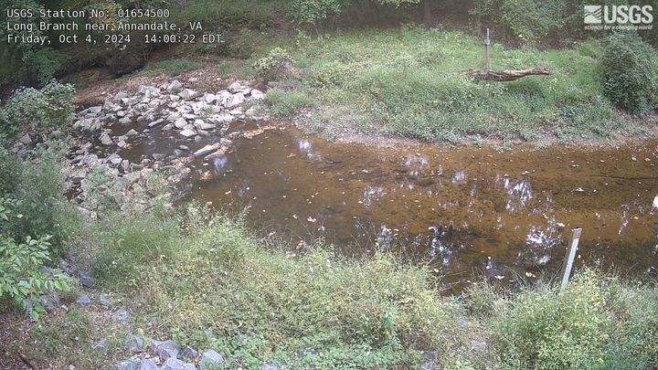
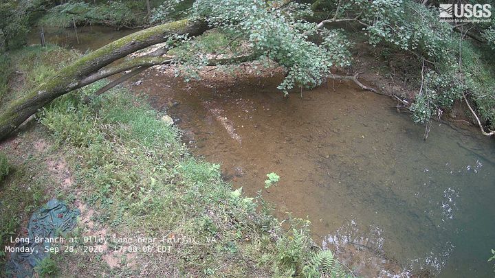
Geschichte rund um Minor's Hill
- Egypt–Israel Peace Treaty1979
- 2025 Potomac River mid-air collision2025
- Hay–Bunau-Varilla Treaty1903
- Alaska Purchase1867
- Armenia-Azerbaijan peace agreement2025
- The Oslo Accords are officially signed at a public ceremony in Washington, DC in the presence of Israeli Prime Minister Yitzhak Rabin1993
- The North Atlantic Treaty is signed in Washington, D.C., creating the NATO defense alliance1949
- Declaration by United Nations1942
Orte nahe Minor's Hill
- McLean3,9 km entfernt
- Idylwood4,8 km entfernt
- West Falls Church5 km entfernt
- Arlington5,2 km entfernt
- Bailey's Crossroads6,4 km entfernt
- Tysons Corner6,6 km entfernt