Mount Tod
2.155 m7.070 ft
Berg · Columbia Mountains · Kanada
Mount Tod, commonly known as Tod Mountain, is a summit 50 km northeast of Kamloops, British Columbia, Canada.
Aus Wikipedia, CC BY-SA · Artikel lesen
Am Gipfel · Vorhersage für 16:00
1 °CTeilweise bewölkt · Wind 5 km/h aus S
 In 3D ansehen
Wetter auf dem Gipfel: Mount Tod, 2.155 m
- 16:001 °CS 5 km/h–
- 19:00-2 °CNW 4 km/h–
- 22:00-3 °CNW 4 km/h–
- 1:00-3 °CW 5 km/h0,1 mm
- 4:00-4 °CW 5 km/h–
- 7:00-6 °CSW 4 km/h–
- 10:00-3 °CS 5 km/h0,5 mm
- 13:00-2 °CS 10 km/h0,7 mm
| Tag | Himmel | Max. / Min. | Regen | Wind bis |
|---|---|---|---|---|
| Di., 27. Okt. | Leichter Schneefall | -2 °C / -6 °C | 4,3 mm | 10 km/h |
| Mi., 28. Okt. | Leichter Schneefall | -5 °C / -9 °C | 3,3 mm | 7 km/h |
| Do., 29. Okt. | Bewölkt | -6 °C / -11 °C | 1 mm | 5 km/h |
| Fr., 30. Okt. | Überwiegend klar | -4 °C / -10 °C | 0,4 mm | 1 km/h |
| Sa., 31. Okt. | Teilweise bewölkt | -5 °C / -10 °C | – | 5 km/h |
| So., 1. Nov. | Teilweise bewölkt | -5 °C / -10 °C | – | 6 km/h |
| Mo., 2. Nov. | Teilweise bewölkt | -4 °C / -9 °C | 2 mm | 5 km/h |
Vorhersage von MET Norway (CC BY 4.0), aktualisiert um 12:16 GMT-7. Zeiten in Ortszeit.
Fakten
- Art
- Berg
- Höhe über dem Meer
- 2.155 m (7.070 ft)
- Schartenhöhe
- 1.523 m (4.997 ft)
- Gebirge
- Columbia Mountains
- Land
- Kanada
- Koordinaten
- 50.917°N 119.941°W
- Quelle
- Wikidata, CC0
Mount Tod
Mountain in British Columbia, Canada
Mount Tod, commonly known as Tod Mountain, is a summit 50 km northeast of Kamloops, British Columbia, Canada. Located northeast of the junction of Louis and McGillivray Creeks, it is part of the upland area between the Interior Plateau (W) and the Monashee Mountains (E) known as the Shuswap Highland, the mountain is the highest of three summits comprising the Sun Peaks alpine ski resort.
Aus Wikipedia, CC BY-SA · Artikel lesen
Gipfel nahe Mount Tod
- Mount Lolo1.748 m · 18 km entferntAuf der Karte
- Ida Ridge1.981 m · 18 km entferntAuf der Karte
- Skoatl Point1.640 m · 43 km entferntAuf der Karte
- Stockton Hill1.574 m · 52 km entferntAuf der Karte
- Dunn-Peak-Massiv2.636 m · 58 km entferntAuf der Karte
- Pukeashun Mountain2.301 m · 59 km entferntAuf der Karte
- Batchelor HillHügel · 39 km entferntAuf der Karte
- Mount IdaBerg · 54 km entferntAuf der Karte
Höchste Berge in Kanada
- Mount Logan5.959 mAuf der Karte
- Mount Saint Elias18.009 ftAuf der Karte
- Mount Lucania5.240 mAuf der Karte
- King Peak5.173 mAuf der Karte
- Mount Steele5.073 mAuf der Karte
- Mount Wood4.850 mAuf der Karte
- Mount Vancouver15.787 ftAuf der Karte
- Mount Slaggard4.742 mAuf der Karte
- Mount Macaulay4.700 mAuf der Karte
- Mount Fairweather15.325 ftAuf der Karte
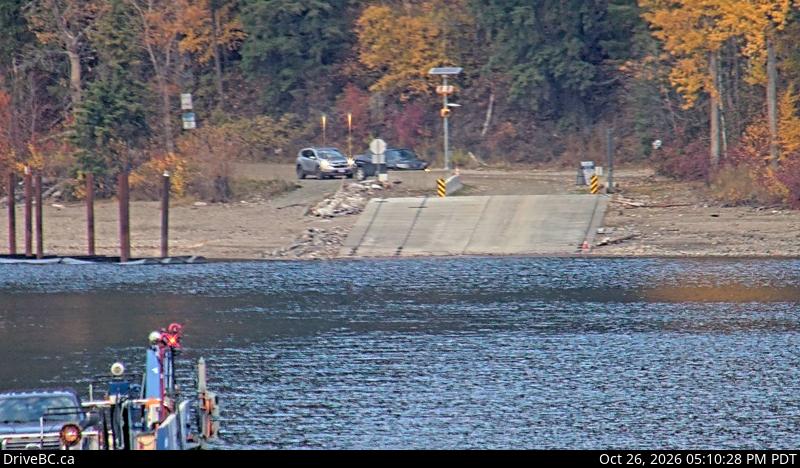
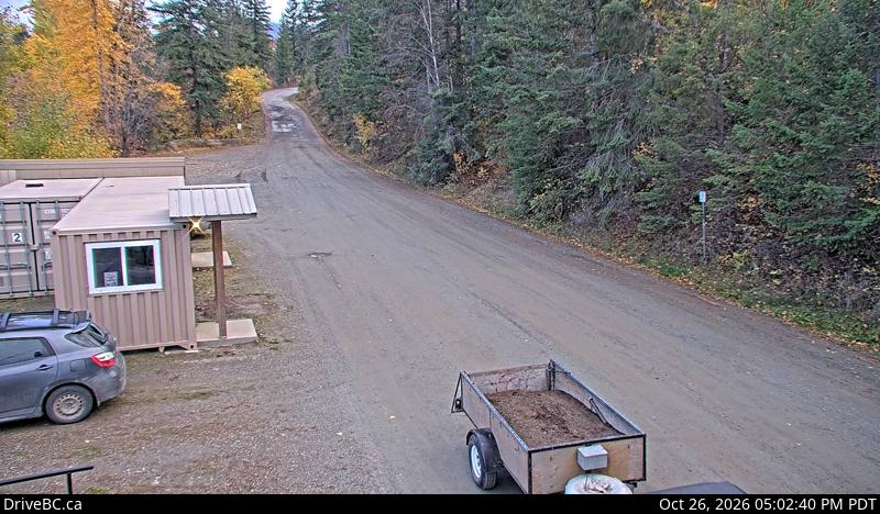
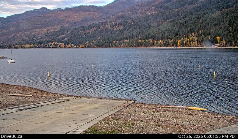
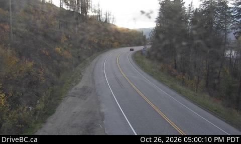
Webcams nahe Mount Tod
Orte nahe Mount Tod
- Kamloops38 km entfernt
- Salmon Arm53 km entfernt