Ramberget
87 m285 ft
Hügel · Schweden
Ramberget is a hill on Hisingen island in Gothenburg, Sweden. The surrounding area and park is called Keillers Park. Ramberget is a popular tourist attraction and a place for outdoor recreation for Gothenburg residents, with walking paths, lookouts over the city of Gothenburg and artworks.
Aus Wikipedia, CC BY-SA · Artikel lesen
Am Gipfel · Vorhersage für 2:00
11 °CRegen · Wind 25 km/h aus SW
 In 3D ansehen
Wetter auf dem Gipfel: Ramberget, 87 m
- 2:0011 °CSW 25 km/h0,9 mm
- 5:0011 °CS 28 km/h0,9 mm
- 8:0010 °CS 31 km/h0,7 mm
- 11:0011 °CS 30 km/h0,2 mm
- 14:0012 °CS 31 km/h–
- 17:0012 °CS 32 km/h1 mm
- 20:0012 °CS 35 km/h6,8 mm
- 23:0012 °CSW 26 km/h3,1 mm
| Tag | Himmel | Max. / Min. | Regen | Wind bis |
|---|---|---|---|---|
| Heute | Leichter Regen | 12 °C / 10 °C | 12,9 mm | 35 km/h |
| Mi., 28. Okt. | Bewölkt | 13 °C / 11 °C | 1,1 mm | 22 km/h |
| Do., 29. Okt. | Überwiegend klar | 14 °C / 12 °C | – | 25 km/h |
| Fr., 30. Okt. | Teilweise bewölkt | 13 °C / 11 °C | – | 12 km/h |
| Sa., 31. Okt. | Bewölkt | 13 °C / 12 °C | – | 12 km/h |
| So., 1. Nov. | Bewölkt | 12 °C / 10 °C | – | 15 km/h |
| Mo., 2. Nov. | Teilweise bewölkt | 12 °C / 6 °C | – | 13 km/h |
Vorhersage von MET Norway (CC BY 4.0), aktualisiert um 00:30 MEZ. Zeiten in Ortszeit.
Fakten
- Art
- Hügel
- Höhe über dem Meer
- 87 m (285 ft)
- Land
- Schweden
- Koordinaten
- 57.715°N 11.938°E
- Quelle
- Wikidata, CC0
Ramberget
Mountain in Gothenburg, Sweden
Ramberget is a hill on Hisingen island in Gothenburg, Sweden. The surrounding area and park is called Keillers Park. Ramberget is a popular tourist attraction and a place for outdoor recreation for Gothenburg residents, with walking paths, lookouts over the city of Gothenburg and artworks. Ramberget's highest point 87 metres (282 ft) above sea level, with a lower second point called Ättestupan.
Aus Wikipedia, CC BY-SA · Artikel lesen
Höchste Berge in Schweden
- Kebnekaise2.097 mAuf der Karte
- Sarektjåkkå2.089 mAuf der Karte
- Kaskasatjåkka2.071 mAuf der Karte
- Akka (Berg)2.011 mAuf der Karte
- Helagsfjäll1.797 mAuf der Karte
- Norra Storfjället1.768 mAuf der Karte
- Storsnasen1.463 mAuf der Karte
- Åreskutan1.420 mAuf der Karte
- Oldfjällen1.266 mAuf der Karte
- Nasa Mountain1.211 mAuf der Karte
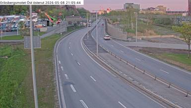
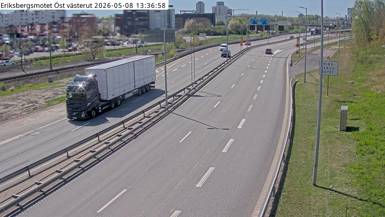
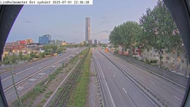
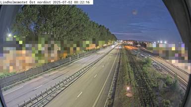
Webcams nahe Ramberget
Geschichte rund um Ramberget
- The 30th Eurovision Song Contest takes place in Gothenburg, Sweden and is won by the Bobbysocks! song La det swinge for Norway1985
- Battle of Göteborg1717
- An explosion occurs in Annedal in Gothenburg2021
- Gothenburg pub shooting2015
- protests during the EU summit in Gothenburg 20012001
- Gothenburg discothèque fire1998
- Kungälv school shooting1961
- Siege of Bohus Fortress1678