Thompson Peak
10.751 ft3.277 m
Berg · Sawtooth Range · Vereinigte Staaten
Thompson Peak is the highest peak in the Sawtooth Range of Idaho. Its 10,751 ft (3,277 m) summit is located within Custer County, although some of the lower portion of the mountain is in Boise County.
Aus Wikipedia, CC BY-SA · Artikel lesen
Der höchste Punkt von Sawtooth Range
Am Gipfel · Vorhersage für 13:00
20 °FBewölkt · Wind 6 mph aus SW
 In 3D ansehen
Wetter auf dem Gipfel: Thompson Peak, 10.751 ft
- 13:0020 °FSW 6 mph–
- 16:0022 °FSW 7 mph0,01 in
- 19:0017 °FW 2 mph–
- 22:0011 °FS 3 mph–
- 1:0010 °FS 4 mph–
- 4:0014 °FS 4 mph–
- 7:0014 °FS 4 mph–
- 10:0016 °FS 5 mph–
| Tag | Himmel | Max. / Min. | Regen | Wind bis |
|---|---|---|---|---|
| Mi., 28. Okt. | Teilweise bewölkt | 23 °F / 10 °F | – | 10 mph |
| Do., 29. Okt. | Bewölkt | 31 °F / 6 °F | – | 7 mph |
| Fr., 30. Okt. | Schneefall | 27 °F / 22 °F | 0,2 in | 6 mph |
| Sa., 31. Okt. | Leichter Schneefall | 27 °F / 14 °F | 0,21 in | 4 mph |
| So., 1. Nov. | Schneefall | 21 °F / 14 °F | 0,43 in | 5 mph |
| Mo., 2. Nov. | Überwiegend klar | 19 °F / 4 °F | – | 3 mph |
| Di., 3. Nov. | Bewölkt | 32 °F / 9 °F | – | 2 mph |
Vorhersage von MET Norway (CC BY 4.0), aktualisiert um 11:17 GMT-6. Zeiten in Ortszeit.
Fakten
- Art
- Berg
- Höhe über dem Meer
- 10.751 ft (3.277 m)
- Schartenhöhe
- 2.431 ft (741 m)
- Gebirge
- Sawtooth Range
- Höchster Punkt von
- Sawtooth Range
- Koordinaten
- 44.142°N 115.010°W
- Quelle
- Wikidata, CC0
Thompson Peak (Idaho)
Mountain in the state of Idaho
Thompson Peak is the highest peak in the Sawtooth Range of Idaho. Its 10,751 ft (3,277 m) summit is located within Custer County, although some of the lower portion of the mountain is in Boise County. Thompson Peak is also located within the Sawtooth Wilderness portion of the Sawtooth National Recreation Area, a unit of Sawtooth National Forest.
Aus Wikipedia, CC BY-SA · Artikel lesen
Gipfel nahe Thompson Peak
- Mickey's Spire10.680 ft · 0,4 km entferntAuf der Karte
- Mount Carter10.590 ft · 0,7 km entferntAuf der Karte
- Williams Peak10.635 ft · 1,2 km entferntAuf der Karte
- Mount Limbert10.385 ft · 1,5 km entferntAuf der Karte
- Merritt Peak10.312 ft · 2,4 km entferntAuf der Karte
- Horstmann Peak10.475 ft · 3,3 km entferntAuf der Karte
- Moolack Mountain10.330 ft · 3,4 km entferntAuf der Karte
- Baron Peak10.297 ft · 3,5 km entferntAuf der Karte
- Mount Iowa10.327 ft · 4,3 km entferntAuf der Karte
- Mount Regan10.190 ft · 4,5 km entferntAuf der Karte
Gipfel unter Thompson Peak
- Mount Cramer10.716 ftAuf der Karte
- Mickey's Spire10.680 ftAuf der Karte
- Williams Peak10.635 ftAuf der Karte
Die höchsten: Sawtooth Range
- Thompson Peak10.751 ftAuf der Karte
- Mount Cramer10.716 ftAuf der Karte
- Snowyside Peak10.651 ftAuf der Karte
- Elk Peak10.582 ftAuf der Karte
- Horstmann Peak10.475 ftAuf der Karte
- Mount Regan10.190 ftAuf der Karte
Höchste Berge in Vereinigte Staaten
- Denali20.308 ftAuf der Karte
- Mount Saint Elias18.009 ftAuf der Karte
- Mount Foraker17.402 ftAuf der Karte
- Mount Bona16.535 ftAuf der Karte
- Mount Blackburn16.390 ftAuf der Karte
- Mount Sanford16.237 ftAuf der Karte
- Mount Vancouver15.787 ftAuf der Karte
- Mount Churchill15.636 ftAuf der Karte
- Mount Fairweather15.325 ftAuf der Karte
- Mount Hubbard14.951 ftAuf der Karte
Webcams nahe Thompson Peak
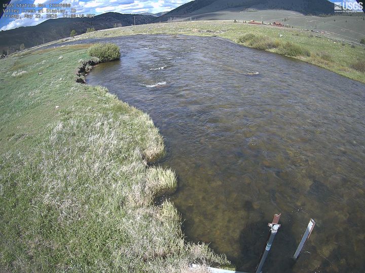
Orte nahe Thompson Peak
- Sun Valley74 km entfernt