Bald Hill
331 ft101 m
Montaña · Estados Unidos
Bald Hill, located in the hamlet of Farmingville, New York, part of the Town of Brookhaven, is one of the highest areas of elevation on Long Island. The highest elevation in the Bald Hill area is 331 feet (101 m).
De Wikipedia, CC BY-SA · Leer el artículo
En la cumbre · pronóstico para las 22:00
55 °FDespejado · viento de 9 mph del S
 Verla en 3D
Clima en la cumbre de Bald Hill, 331 ft
- 22:0055 °FS 9 mph–
- 1:0056 °FSO 11 mph–
- 4:0053 °FSO 6 mph–
- 7:0050 °FO 6 mph–
- 10:0059 °FSO 6 mph–
- 13:0063 °FSO 9 mph–
- 16:0061 °FSO 12 mph–
- 19:0059 °FSO 15 mph–
| Día | Cielo | Máx. / mín. | Lluvia | Viento hasta |
|---|---|---|---|---|
| jue, 29 oct | Despejado | 63 °F / 50 °F | – | 18 mph |
| vie, 30 oct | Despejado | 69 °F / 52 °F | 0,01 pulg. | 20 mph |
| sáb, 31 oct | Mayormente despejado | 55 °F / 48 °F | – | 15 mph |
| dom, 1 nov | Despejado | 58 °F / 43 °F | – | 7 mph |
| lun, 2 nov | Despejado | 61 °F / 49 °F | – | 7 mph |
| mar, 3 nov | Nublado | 63 °F / 52 °F | – | 11 mph |
| mié, 4 nov | Parcialmente nublado | 67 °F / 60 °F | – | 9 mph |
Pronóstico de MET Norway (CC BY 4.0), actualizado a las 21:17 GMT-4. Horas locales.
Ficha técnica
- Tipo
- Montaña
- Altitud sobre el nivel del mar
- 331 ft (101 m)
- País
- Estados Unidos
- Coordenadas
- 40.844°N 73.022°W
- Fuente
- Wikidata, CC0
Bald Hill (Farmingville, New York)
Mountain in New York, United States
Bald Hill, located in the hamlet of Farmingville, New York, part of the Town of Brookhaven, is one of the highest areas of elevation on Long Island. The highest elevation in the Bald Hill area is 331 feet (101 m). Though local residents often claim it to be the highest point on Long Island, that distinction actually belongs to Jayne's Hill in the Town of Huntington at 401 feet (122 m).
De Wikipedia, CC BY-SA · Leer el artículo
Picos cerca de Bald Hill
- Telescope Hill334 ft · a 1 kmEn el mapa
- Jayne's Hill401 ft · a 34 kmEn el mapa
- Beacon Hill131 ft · a 50 kmEn el mapa
- East Rock366 ft · a 55 kmEn el mapa
- Saltonstall Mountain322 ft · a 57 kmEn el mapa
- Peter's Rock373 ft · a 57 kmEn el mapa
- West Rock Ridge700 ft · a 60 kmEn el mapa
- Jones Beach IslandColina · a 44 kmEn el mapa
Montañas más altas de Estados Unidos
- Denali20.308 ftEn el mapa
- Monte San Elías18.009 ftEn el mapa
- Monte Foraker17.402 ftEn el mapa
- Monte Bona16.535 ftEn el mapa
- Monte Blackburn16.390 ftEn el mapa
- Monte Sanford16.237 ftEn el mapa
- Monte Vancouver15.787 ftEn el mapa
- Monte Churchill15.636 ftEn el mapa
- Monte Fairweather15.325 ftEn el mapa
- Mount Hubbard14.951 ftEn el mapa
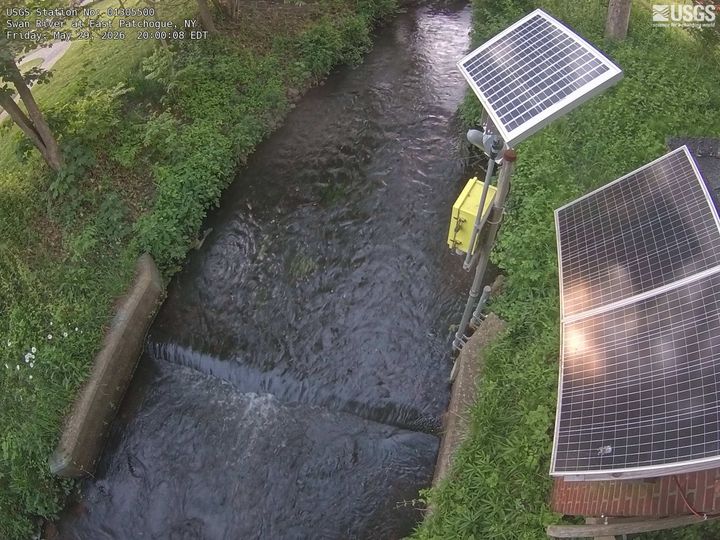
Cámaras web cerca de Bald Hill

Historia alrededor de Bald Hill
Ciudades cerca de Bald Hill
- Farmingvillea 1,6 km
- Seldena 2,8 km
- Corama 3,2 km
- Medforda 3,4 km
- Holtsvillea 3,7 km
- Holbrooka 5,9 km