Montañas de Italia
Cima di Ghez
2400 m7874 ft
Montaña · Italia
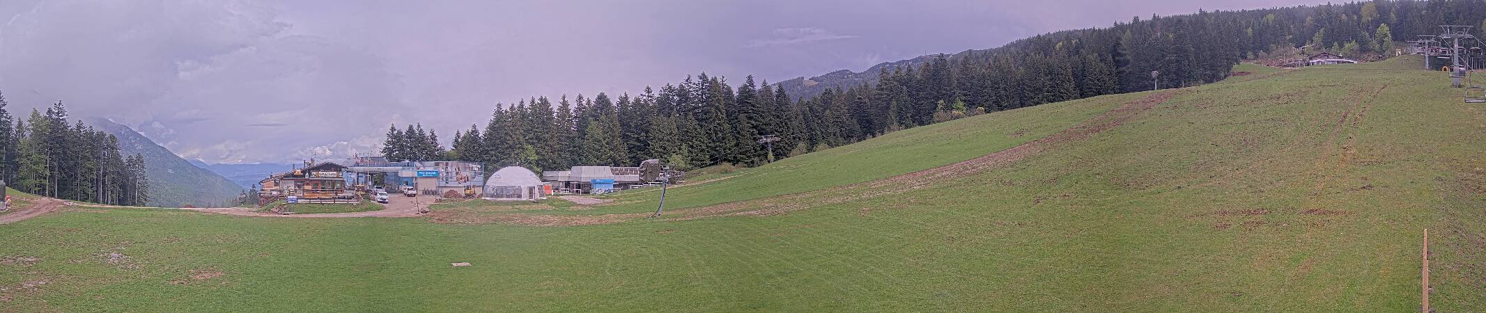
Ghez Peak is a mountain in the Brenta Dolomites, the main elevation of the SOIUSA subgroup called the Ghez Subgroup.
De Wikipedia, CC BY-SA · Leer el artículo
En la cumbre · pronóstico para las 10:00
3 °CNublado · viento de 4 km/h del NE
 Verla en 3D
Clima en la cumbre de Cima di Ghez, 2400 m
- 10:003 °CNE 4 km/h–
- 13:006 °CE 6 km/h–
- 16:005 °CN 4 km/h–
- 19:000 °CN 3 km/h–
- 22:00-1 °CN 3 km/h–
- 1:00-2 °CN 3 km/h–
- 4:00-3 °CN 3 km/h–
- 7:00-4 °CN 3 km/h–
| Día | Cielo | Máx. / mín. | Lluvia | Viento hasta |
|---|---|---|---|---|
| Hoy | Mayormente despejado | 7 °C / -1 °C | – | 6 km/h |
| jue, 29 oct | Despejado | 3 °C / -4 °C | – | 6 km/h |
| vie, 30 oct | Despejado | 3 °C / -6 °C | – | 5 km/h |
| sáb, 31 oct | Despejado | 3 °C / -5 °C | – | 3 km/h |
| dom, 1 nov | Parcialmente nublado | -1 °C / -6 °C | 1,6 mm | 3 km/h |
| lun, 2 nov | Parcialmente nublado | -1 °C / -7 °C | 0,2 mm | 4 km/h |
| mar, 3 nov | Despejado | 0 °C / -7 °C | – | 9 km/h |
Pronóstico de MET Norway (CC BY 4.0), actualizado a las 06:21 CET. Horas locales.
Ficha técnica
- Tipo
- Montaña
- Altitud sobre el nivel del mar
- 2400 m (7874 ft)
- País
- Italia
- Coordenadas
- 46.124°N 10.903°E
- Fuente
- Wikidata, CC0
Ghez Peak
Mountain in the Brenta Dolomites
Ghez Peak is a mountain in the Brenta Dolomites, the main elevation of the SOIUSA subgroup called the Ghez Subgroup. The latter, consisting almost solely of the imposing mass of the summit of the same name and its offshoots, separates the Ambiez Valley from Lake Molveno and reaches as far as the village of San Lorenzo in Banale.
De Wikipedia, CC BY-SA · Leer el artículo
Picos cerca de Cima di Ghez
- Cima Brenta Alta2960 m · a 4 kmEn el mapa
- Campanile Basso2883 m · a 4,2 kmEn el mapa
- Cima Tosa3136 m · a 4,4 kmEn el mapa
- Torre di Brenta3014 m · a 4,9 kmEn el mapa
- Croz dell'Altissimo2282 m · a 5,8 kmEn el mapa
- Cima Brenta3151 m · a 6,2 kmEn el mapa
- Cima Sella2800 m · a 7 kmEn el mapa
- Grostè2784 m · a 8,2 kmEn el mapa
- Monte Bondone2180 m · a 18 kmEn el mapa
- Presanella3556 m · a 21 kmEn el mapa
Montañas más altas de Italia
- Mont Blanc4806 mEn el mapa
- Liskamm4532 mEn el mapa
- Cervino4478 mEn el mapa
- Punta Walker4208 mEn el mapa
- Grandes Jorasses4208 mEn el mapa
- Dent d'Hérens4173 mEn el mapa
- Breithorn4160 mEn el mapa
- Cima di Ghez2400 mEn el mapa