Cougar Mountain
1614 ft492 m
Montaña · Issaquah Alps · Estados Unidos
Cougar Mountain is a peak in the Issaquah Alps in King County, Washington. It is part of the highlands in the Eastside suburbs of Seattle, and at 1,614 feet (492 m) it is the lowest and westernmost of the Alps.
De Wikipedia, CC BY-SA · Leer el artículo
En la cumbre · pronóstico para las 17:00
46 °FLluvia débil · viento de 13 mph del S
Clima en la cumbre de Cougar Mountain, 1614 ft
- 17:0046 °FS 13 mph0 pulg.
- 20:0042 °FS 13 mph0,13 pulg.
- 23:0041 °FS 11 mph0,06 pulg.
- 2:0041 °FS 13 mph–
- 5:0041 °FS 11 mph–
- 8:0040 °FS 11 mph0 pulg.
- 11:0045 °FSO 14 mph0,19 pulg.
- 14:0046 °FSO 10 mph0,14 pulg.
| Día | Cielo | Máx. / mín. | Lluvia | Viento hasta |
|---|---|---|---|---|
| mié, 28 oct | Lluvia fuerte | 47 °F / 37 °F | 0,39 pulg. | 14 mph |
| jue, 29 oct | Lluvia fuerte | 42 °F / 33 °F | 1,03 pulg. | 6 mph |
| vie, 30 oct | Lluvia débil | 44 °F / 37 °F | 0,22 pulg. | 4 mph |
| sáb, 31 oct | Despejado | 47 °F / 36 °F | – | 4 mph |
| dom, 1 nov | Parcialmente nublado | 46 °F / 34 °F | – | 4 mph |
| lun, 2 nov | Nublado | 51 °F / 28 °F | – | 5 mph |
| mar, 3 nov | Mayormente despejado | 50 °F / 37 °F | – | 3 mph |
Pronóstico de MET Norway (CC BY 4.0), actualizado a las 06:17 GMT-7. Horas locales.
Ficha técnica
- Tipo
- Montaña
- Altitud sobre el nivel del mar
- 1614 ft (492 m)
- Cordillera
- Issaquah Alps
- País
- Estados Unidos
- Coordenadas
- 47.520°N 122.093°W
- Fuente
- Wikidata, CC0
Cougar Mountain
Mountain in Washington, United States
Cougar Mountain is a peak in the Issaquah Alps in King County, Washington. It is part of the highlands in the Eastside suburbs of Seattle, and at 1,614 feet (492 m) it is the lowest and westernmost of the Alps. About two-thirds of Cougar Mountain has experienced residential development, and is home to many neighborhood communities such as Lakemont.
De Wikipedia, CC BY-SA · Leer el artículo
Picos cerca de Cougar Mountain
- Squak Mountain2028 ft · a 4,9 kmEn el mapa
- Tiger Mountain3004 ft · a 12 kmEn el mapa
- Little Si1576 ft · a 25 kmEn el mapa
- Mount Si4167 ft · a 27 kmEn el mapa
- Mount Teneriffe4788 ft · a 30 kmEn el mapa
- McClellan Butte5162 ft · a 38 kmEn el mapa
- Mount Kent5089 ft · a 39 kmEn el mapa
- Preacher Mountain5925 ft · a 43 kmEn el mapa
- Bandera Mountain5245 ft · a 43 kmEn el mapa
- Mount Roosevelt5837 ft · a 44 kmEn el mapa
Los más altos de Issaquah Alps
- Tiger Mountain3004 ftEn el mapa
- Squak Mountain2028 ftEn el mapa
- Cougar Mountain1614 ftEn el mapa
Montañas más altas de Estados Unidos
- Denali20.308 ftEn el mapa
- Monte San Elías18.009 ftEn el mapa
- Monte Foraker17.402 ftEn el mapa
- Monte Bona16.535 ftEn el mapa
- Monte Blackburn16.390 ftEn el mapa
- Monte Sanford16.237 ftEn el mapa
- Monte Vancouver15.787 ftEn el mapa
- Monte Churchill15.636 ftEn el mapa
- Monte Fairweather15.325 ftEn el mapa
- Mount Hubbard14.951 ftEn el mapa
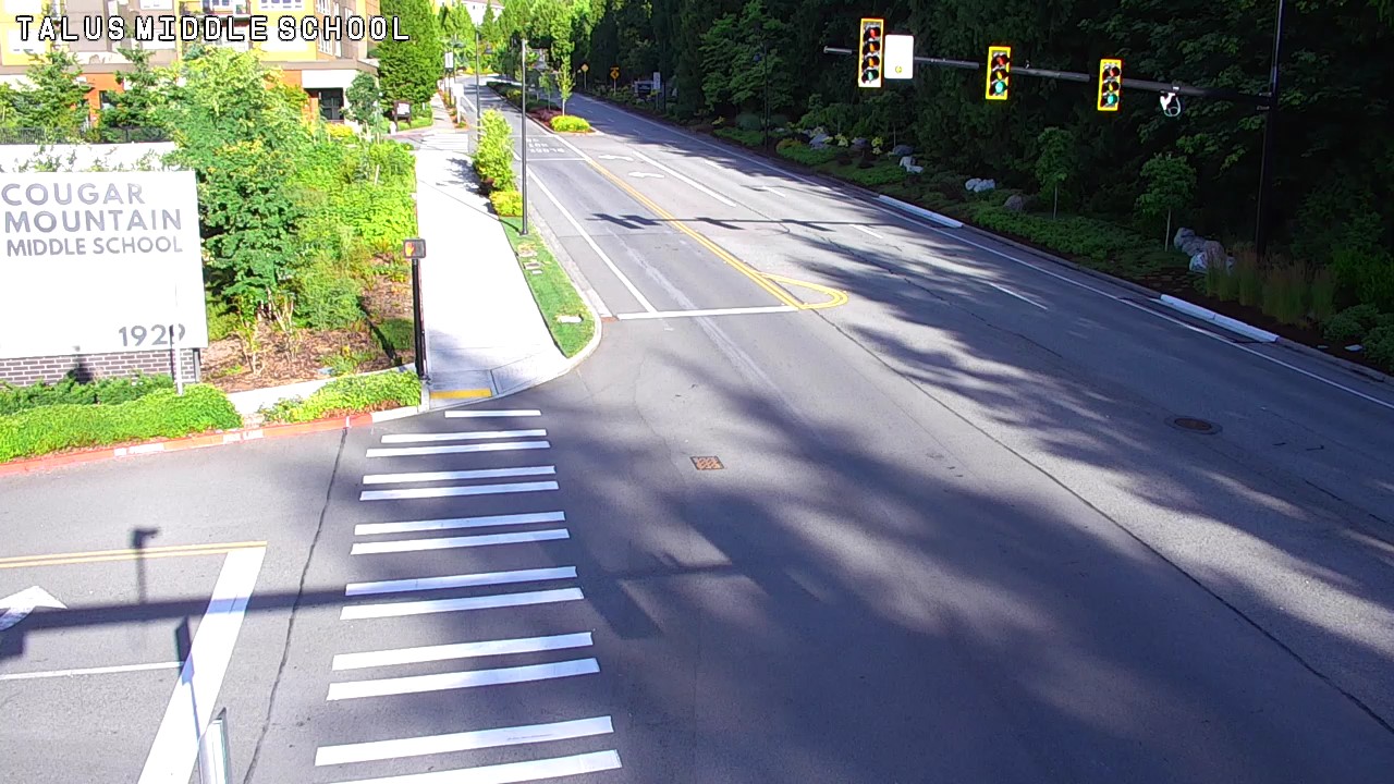
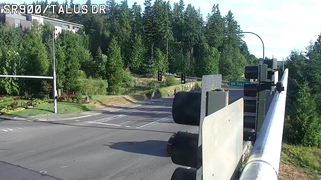
Cámaras web cerca de Cougar Mountain


Historia alrededor de Cougar Mountain
Ciudades cerca de Cougar Mountain
- Issaquaha 4,7 km
- Newcastlea 5,6 km
- West Lake Sammamisha 6,4 km
- Cascade-Fairwooda 9,3 km
- Rentona 10 km
- City of Sammamisha 10 km