Montañas de Suiza
Gärsthorn
2964 m9724 ft
Montaña · Aletschhorn-Bietschhorn Group · Suiza
The Gärsthorn is a mountain of the Bernese Alps, overlooking Mund in the canton of Valais. The main (north) summit has an elevation of 2,964 metres, while the southern summit has an elevation of 2,927 metres.
De Wikipedia, CC BY-SA · Leer el artículo
En la cumbre · pronóstico para las 6:00
-5 °CParcialmente nublado · viento de 4 km/h del O
 Verla en 3D
Clima en la cumbre de Gärsthorn, 2964 m
- 6:00-5 °CO 4 km/h–
- 9:00-1 °CNO 5 km/h–
- 12:005 °CO 7 km/h0,2 mm
- 15:004 °CO 8 km/h–
- 18:00-1 °CO 4 km/h–
- 21:00-7 °CSO 6 km/h–
- 0:00-10 °CE 5 km/h–
- 3:00-8 °CS 3 km/h–
| Día | Cielo | Máx. / mín. | Lluvia | Viento hasta |
|---|---|---|---|---|
| Hoy | Lluvia débil | 5 °C / -10 °C | 0,2 mm | 8 km/h |
| jue, 29 oct | Despejado | 5 °C / -10 °C | – | 5 km/h |
| vie, 30 oct | Despejado | 3 °C / -7 °C | – | 5 km/h |
| sáb, 31 oct | Despejado | 3 °C / -8 °C | – | 1 km/h |
| dom, 1 nov | Despejado | 4 °C / -6 °C | – | 5 km/h |
| lun, 2 nov | Despejado | 2 °C / -6 °C | – | 7 km/h |
| mar, 3 nov | Despejado | -1 °C / -11 °C | – | 3 km/h |
Pronóstico de MET Norway (CC BY 4.0), actualizado a las 00:17 CET. Horas locales.
Ficha técnica
- Tipo
- Montaña
- Altitud sobre el nivel del mar
- 2964 m (9724 ft)
- Prominencia
- 208 m (682 ft)
- Cordillera
- Aletschhorn-Bietschhorn Group
- País
- Suiza
- Coordenadas
- 46.347°N 7.917°E
- Fuente
- Wikidata, CC0
Picos cerca de Gärsthorn
- Bietschhorn3934 m · a 7,1 kmEn el mapa
- Nesthorn3820 m · a 7,4 kmEn el mapa
- Aletschhorn4194 m · a 14 kmEn el mapa
- Monte Leone3553 m · a 18 kmEn el mapa
- Gletscherhorn3982 m · a 19 kmEn el mapa
- Balmhorn3690 m · a 19 kmEn el mapa
- Blüemlisalp3661 m · a 19 kmEn el mapa
- Jungfrau4158 m · a 21 kmEn el mapa
- Lagginhorn4010 m · a 22 kmEn el mapa
- Grünhorn4043 m · a 24 kmEn el mapa
Los más altos de Aletschhorn-Bietschhorn Group
- Aletschhorn4194 mEn el mapa
- Bietschhorn3934 mEn el mapa
- Nesthorn3820 mEn el mapa
- Schinhorn3796 mEn el mapa
- Zenbächenhorn3385 mEn el mapa
- Gärsthorn2964 mEn el mapa
Montañas más altas de Suiza
- Pico Dufour4634 mEn el mapa
- Dom4546 mEn el mapa
- Liskamm4532 mEn el mapa
- Weisshorn4505 mEn el mapa
- Cervino4478 mEn el mapa
- Dent Blanche4357 mEn el mapa
- Grand Combin4309 mEn el mapa
- Finsteraarhorn4274 mEn el mapa
- Zinalrothorn4221 mEn el mapa
- Alphubel4206 mEn el mapa
Cámaras web cerca de Gärsthorn


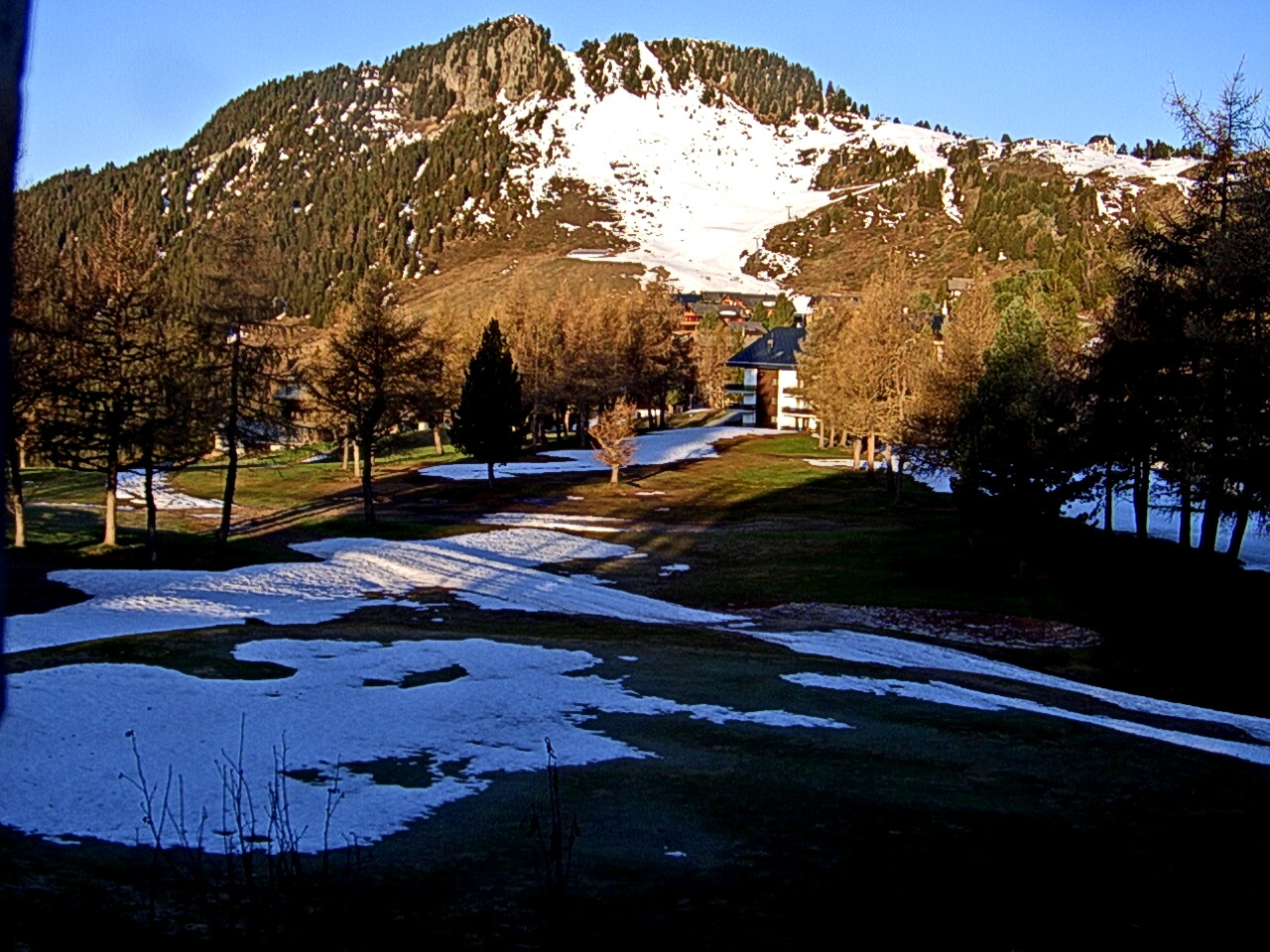

Historia alrededor de Gärsthorn
Ciudades cerca de Gärsthorn
- Sierrea 30 km
- Domodossolaa 39 km
- Sittena 45 km
- Thuna 50 km
- Steffisburga 53 km
- Pallanza-Intra-Sunaa 68 km