Montañas de Austria
Hocheisspitze
2523 m8278 ft
Montaña · Zentralwestliche Berchtesgadner Alpen · Austria · Alemania
The Hocheisspitze is a 2,523 m high mountain in the Berchtesgaden Alps, over which the border between Germany and Austria runs. It is also the highest mountain in the eponymous Hocheis Group that belongs to the Hochkalter Massif.
De Wikipedia, CC BY-SA · Leer el artículo
En la cumbre · pronóstico para las 12:00
2 °CAguanieve · viento de 9 km/h del NO
 Verla en 3D
Clima en la cumbre de Hocheisspitze, 2523 m
- 12:002 °CNO 9 km/h2,5 mm
- 15:00-0 °CNO 8 km/h1,7 mm
- 18:00-2 °CNO 9 km/h1,3 mm
- 21:00-3 °CNO 8 km/h1,9 mm
- 0:00-3 °CNO 6 km/h0,2 mm
- 3:00-4 °CNO 5 km/h–
- 6:00-5 °CS 1 km/h–
- 9:00-4 °CNE 3 km/h–
| Día | Cielo | Máx. / mín. | Lluvia | Viento hasta |
|---|---|---|---|---|
| Hoy | Nieve fuerte | 2 °C / -3 °C | 7,4 mm | 9 km/h |
| jue, 29 oct | Parcialmente nublado | -2 °C / -7 °C | 0,2 mm | 6 km/h |
| vie, 30 oct | Mayormente despejado | -1 °C / -10 °C | – | 9 km/h |
| sáb, 31 oct | Despejado | -0 °C / -9 °C | – | 7 km/h |
| dom, 1 nov | Nieve débil | -5 °C / -7 °C | 1,8 mm | 5 km/h |
| lun, 2 nov | Nieve fuerte | -7 °C / -9 °C | 18,1 mm | 3 km/h |
| mar, 3 nov | Nieve | -7 °C / -9 °C | 11,1 mm | 4 km/h |
Pronóstico de MET Norway (CC BY 4.0), actualizado a las 06:21 CET. Horas locales.
Ficha técnica
- Tipo
- Montaña
- Altitud sobre el nivel del mar
- 2523 m (8278 ft)
- Prominencia
- 410 m (1345 ft)
- Aislamiento
- a 3 km de un terreno más alto
- Cordillera
- Zentralwestliche Berchtesgadner Alpen
- Coordenadas
- 47.547°N 12.843°E
- Fuente
- Wikidata, CC0
Picos cerca de Hocheisspitze
- Hochkalter2607 m · a 3 kmEn el mapa
- Großer Hundstod2594 m · a 5 kmEn el mapa
- Stadelhorn2286 m · a 6,3 kmEn el mapa
- Schottmalhorn1982 m · a 7,5 kmEn el mapa
- Persailhorn2347 m · a 10 kmEn el mapa
- Breithorn2504 m · a 11 kmEn el mapa
- Birnhorn2634 m · a 11 kmEn el mapa
- Schönfeldspitze2653 m · a 12 kmEn el mapa
- Grießkogel2543 m · a 13 kmEn el mapa
- Karkopf1738 m · a 16 kmEn el mapa
Los más altos de Zentralwestliche Berchtesgadner Alpen
- Hochkalter2607 mEn el mapa
- Hocheisspitze2523 mEn el mapa
- Seehorn2321 mEn el mapa
Montañas más altas de Austria
- Grossglockner3798 mEn el mapa
- Wildspitze3768 mEn el mapa
- Weißkugel3738 mEn el mapa
- Großvenediger3657 mEn el mapa
- Hintere Schwärze3624 mEn el mapa
- Großes Wiesbachhorn3564 mEn el mapa
- Ramolkogel3549 mEn el mapa
- Schalfkogel3537 mEn el mapa
- Watzespitze3532 mEn el mapa
- Fineilspitze3514 mEn el mapa
Cámaras web cerca de Hocheisspitze
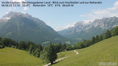 Vorderloiplsau - Berchtesgadener Land - Blick zum Hochkalter und zur Reiteralma 9,7 km de la cumbre
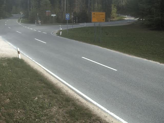 B305 Schneizlreuth - Berchtesgaden → Berchtesgaden (Süd-Osten)a 10 km de la cumbre
 Hochschwarzecka 11 km de la cumbre
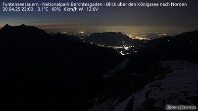 Funtenseetauern - Nationalpark Berchtesgaden - Blick über den Königssee nach Nordena 12 km de la cumbre
Historia alrededor de Hocheisspitze
Ciudades cerca de Hocheisspitze
- Saalfelden am Steinernen Meera 13 km
- Bad Reichenhalla 20 km
- Salzburga 32 km
- Freilassinga 34 km
- Traunsteina 39 km
- Traunreuta 50 km