Montañas de Austria
Hohe Villerspitze
3087 m10.128 ft
Montaña · Alpes de Stubai · Austria
The Hohe Villerspitze is a mountain, 3,087 m (AA), in the Southeastern Sellrain Mountains, a sub-group of the northern Stubai Alps in the Austrian state of Tyrol. The mountain has three tops that, together, form an isolated, massive and prominent rocky summit made of amphibolite.
De Wikipedia, CC BY-SA · Leer el artículo
En la cumbre · pronóstico para las 0:00
-6 °CNiebla · viento de 4 km/h del NO
 Verla en 3D
Clima en la cumbre de Hohe Villerspitze, 3087 m
- 0:00-6 °CNO 4 km/h–
- 3:00-9 °CO 4 km/h–
- 6:00-13 °CO 5 km/h–
- 9:00-7 °CNO 5 km/h–
- 12:00-4 °CNE 5 km/h–
- 15:00-4 °CN 5 km/h–
- 18:00-9 °CO 4 km/h–
- 21:00-11 °CO 4 km/h–
| Día | Cielo | Máx. / mín. | Lluvia | Viento hasta |
|---|---|---|---|---|
| jue, 29 oct | Despejado | -3 °C / -13 °C | – | 5 km/h |
| vie, 30 oct | Despejado | -3 °C / -11 °C | – | 5 km/h |
| sáb, 31 oct | Despejado | -4 °C / -11 °C | – | 10 km/h |
| dom, 1 nov | Nieve | -10 °C / -16 °C | 3,1 mm | 5 km/h |
| lun, 2 nov | Parcialmente nublado | -8 °C / -18 °C | – | 4 km/h |
| mar, 3 nov | Parcialmente nublado | -9 °C / -14 °C | – | 6 km/h |
| mié, 4 nov | Despejado | -3 °C / -19 °C | 0,3 mm | 5 km/h |
Pronóstico de MET Norway (CC BY 4.0), actualizado a las 20:20 CET. Horas locales.
Ficha técnica
- Tipo
- Montaña
- Altitud sobre el nivel del mar
- 3087 m (10.128 ft)
- Aislamiento
- a 4 km de un terreno más alto
- Cordillera
- Alpes de Stubai
- País
- Austria
- Primer ascenso
- 20 de julio de 1887
- Coordenadas
- 47.108°N 11.173°E
- Fuente
- Wikidata, CC0
Picos cerca de Hohe Villerspitze
- Habicht3277 m · a 11 kmEn el mapa
- Zuckerhütl3507 m · a 16 kmEn el mapa
- Bergisel746 m · a 23 kmEn el mapa
- Patscherkofel2246 m · a 24 kmEn el mapa
- Nordkette2637 m · a 25 kmEn el mapa
- Dreitorspitze2682 m · a 33 kmEn el mapa
- Hochwanner2744 m · a 33 kmEn el mapa
- Wildspitze3768 m · a 34 kmEn el mapa
- Hinterer Brochkogel3628 m · a 35 kmEn el mapa
- Schneefernerkopf2874 m · a 37 kmEn el mapa
Los más altos de Alpes de Stubai
- Zuckerhütl3507 mEn el mapa
- Schrankogel3497 mEn el mapa
- Ruderhofspitze3474 mEn el mapa
- Wilde Leck3359 mEn el mapa
- Strahlkogel3288 mEn el mapa
- Habicht3277 mEn el mapa
- Östlicher Feuerstein3268 mEn el mapa
- Botzer3250 mEn el mapa
- Hohe Villerspitze3087 mEn el mapa
Montañas más altas de Austria
- Grossglockner3798 mEn el mapa
- Wildspitze3768 mEn el mapa
- Weißkugel3738 mEn el mapa
- Großvenediger3657 mEn el mapa
- Hintere Schwärze3624 mEn el mapa
- Großes Wiesbachhorn3564 mEn el mapa
- Ramolkogel3549 mEn el mapa
- Schalfkogel3537 mEn el mapa
- Watzespitze3532 mEn el mapa
- Fineilspitze3514 mEn el mapa
Cámaras web cerca de Hohe Villerspitze

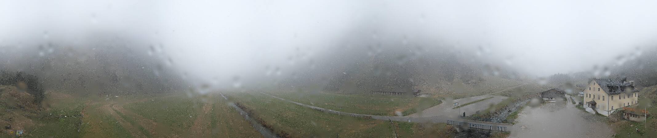


Historia alrededor de Hohe Villerspitze
Ciudades cerca de Hohe Villerspitze
- Telfsa 24 km
- Innsbrucka 24 km
- Garmisch-Partenkirchena 43 km
- Meranoa 49 km
- Bressanonea 57 km
- Füssena 63 km