Junction Peak
13.894 ft4235 m
Montaña · Sierra Nevada · Estados Unidos
Junction Peak is a thirteener in the Sierra Nevada. Joseph Nisbet LeConte chose this name in 1896, noting that it marks the point where the Sierra Crest crosses the water divide of the Kern and Kings rivers.
De Wikipedia, CC BY-SA · Leer el artículo
En la cumbre · pronóstico para las 18:00
23 °FDespejado · viento de 4 mph del O
 Verla en 3D
Clima en la cumbre de Junction Peak, 13.894 ft
- 18:0023 °FO 4 mph–
- 21:0022 °FO 2 mph–
- 0:0024 °FO 2 mph–
- 3:0023 °FO 3 mph–
- 6:0022 °FO 3 mph–
- 9:0030 °FO 6 mph–
- 12:0035 °FO 9 mph–
- 15:0033 °FO 11 mph–
| Día | Cielo | Máx. / mín. | Lluvia | Viento hasta |
|---|---|---|---|---|
| mar, 27 oct | Mayormente despejado | 35 °F / 19 °F | – | 11 mph |
| mié, 28 oct | Parcialmente nublado | 34 °F / 21 °F | – | 9 mph |
| jue, 29 oct | Mayormente despejado | 30 °F / 19 °F | 0,03 pulg. | 5 mph |
| vie, 30 oct | Parcialmente nublado | 23 °F / 12 °F | 0,03 pulg. | 2 mph |
| sáb, 31 oct | Mayormente despejado | 22 °F / 11 °F | – | 3 mph |
| dom, 1 nov | Despejado | 25 °F / 15 °F | – | 3 mph |
| lun, 2 nov | Despejado | 34 °F / 19 °F | – | 2 mph |
Pronóstico de MET Norway (CC BY 4.0), actualizado a las 16:20 GMT-7. Horas locales.
Ficha técnica
- Tipo
- Montaña
- Altitud sobre el nivel del mar
- 13.894 ft (4235 m)
- Prominencia
- 764 ft (233 m)
- Cordillera
- Sierra Nevada
- Pico padre
- Mount Stanford
- País
- Estados Unidos
- Primer ascenso
- 8 de agosto de 1899
- Coordenadas
- 36.691°N 118.366°W
- Fuente
- Wikidata, CC0
Junction Peak
Mountain in California, United States
Junction Peak is a thirteener in the Sierra Nevada. Joseph Nisbet LeConte chose this name in 1896, noting that it marks the point where the Sierra Crest crosses the water divide of the Kern and Kings rivers. Today it also is the boundary between Inyo and Tulare counties, and of Kings Canyon National Park, Sequoia National Park and the John Muir Wilderness.
De Wikipedia, CC BY-SA · Leer el artículo
Picos cerca de Junction Peak
- Caltech Peak13.832 ft · a 2,2 kmEn el mapa
- Mount Keith13.982 ft · a 2,2 kmEn el mapa
- Mount Stanford13.979 ft · a 3 kmEn el mapa
- Mount Ericsson13.589 ft · a 4,3 kmEn el mapa
- Mount Tyndall14.025 ft · a 4,8 kmEn el mapa
- Mount Williamson14.403 ft · a 6,3 kmEn el mapa
- University Peak13.595 ft · a 6,4 kmEn el mapa
- Trojan Peak13.950 ft · a 7 kmEn el mapa
- Mount Barnard13.996 ft · a 8 kmEn el mapa
- Mount Brewer13.576 ft · a 11 kmEn el mapa
Pico padre
El pico más alto más cercano respecto al que se mide su prominencia.
- Mount Stanford13.979 ftEn el mapa
Los más altos de Sierra Nevada
- Monte Whitney14.505 ftEn el mapa
- Mount Williamson14.403 ftEn el mapa
- Mount Russell14.094 ftEn el mapa
- Monte Langley14.032 ftEn el mapa
- Mount Tyndall14.025 ftEn el mapa
- Mount Humphreys13.992 ftEn el mapa
- Mount Keith13.982 ftEn el mapa
- Mount LeConte13.936 ftEn el mapa
- Junction Peak13.894 ftEn el mapa
Montañas más altas de Estados Unidos
- Denali20.308 ftEn el mapa
- Monte San Elías18.009 ftEn el mapa
- Monte Foraker17.402 ftEn el mapa
- Monte Bona16.535 ftEn el mapa
- Monte Blackburn16.390 ftEn el mapa
- Monte Sanford16.237 ftEn el mapa
- Monte Vancouver15.787 ftEn el mapa
- Monte Churchill15.636 ftEn el mapa
- Monte Fairweather15.325 ftEn el mapa
- Mount Hubbard14.951 ftEn el mapa
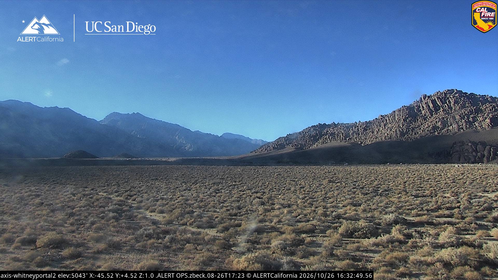
Cámaras web cerca de Junction Peak
Historia alrededor de Junction Peak
Ciudades cerca de Junction Peak
- Woodlakea 73 km