Little Pine Mountain
4462 ft1360 m
Montaña · San Rafael Mountains · Estados Unidos
Little Pine Mountain is a mountain in Santa Barbara County, California, in the Los Padres National Forest at the southern edge of the San Rafael Mountains.
De Wikipedia, CC BY-SA · Leer el artículo
En la cumbre · pronóstico para las 22:00
48 °FParcialmente nublado · viento de 2 mph del NE
 Verla en 3D
Clima en la cumbre de Little Pine Mountain, 4462 ft
- 22:0048 °FNE 2 mph–
- 1:0044 °FNE 3 mph–
- 4:0041 °FNE 3 mph–
- 7:0042 °FNE 2 mph–
- 10:0055 °FS 3 mph–
- 13:0059 °FS 6 mph–
- 16:0057 °FS 6 mph–
- 19:0049 °FN 2 mph–
| Día | Cielo | Máx. / mín. | Lluvia | Viento hasta |
|---|---|---|---|---|
| mié, 28 oct | Mayormente despejado | 59 °F / 41 °F | – | 6 mph |
| jue, 29 oct | Nublado | 56 °F / 46 °F | 0 pulg. | 8 mph |
| vie, 30 oct | Parcialmente nublado | 53 °F / 45 °F | 0,06 pulg. | 5 mph |
| sáb, 31 oct | Lluvia | 51 °F / 45 °F | 0,07 pulg. | 4 mph |
| dom, 1 nov | Mayormente despejado | 53 °F / 41 °F | – | 7 mph |
| lun, 2 nov | Despejado | 62 °F / 39 °F | – | 7 mph |
| mar, 3 nov | Despejado | 68 °F / 49 °F | – | 3 mph |
Pronóstico de MET Norway (CC BY 4.0), actualizado a las 16:18 GMT-7. Horas locales.
Ficha técnica
- Tipo
- Montaña
- Altitud sobre el nivel del mar
- 4462 ft (1360 m)
- Prominencia
- 518 ft (158 m)
- Cordillera
- San Rafael Mountains
- País
- Estados Unidos
- Coordenadas
- 34.601°N 119.739°W
- Fuente
- Wikidata, CC0
Little Pine Mountain
Mountain in California, United States
Little Pine Mountain is a mountain in Santa Barbara County, California, in the Los Padres National Forest at the southern edge of the San Rafael Mountains. It separates the drainages of Oso Creek, which flows into the upper Santa Ynez River, from the drainage of Santa Cruz Creek, which flows into the middle section of the river via Lake Cachuma.
De Wikipedia, CC BY-SA · Leer el artículo
Picos cerca de Little Pine Mountain
- La Cumbre Peak3997 ft · a 12 kmEn el mapa
- Arlington Peak3258 ft · a 13 kmEn el mapa
- Madulce Peak6539 ft · a 17 kmEn el mapa
- Figueroa Mountain4534 ft · a 28 kmEn el mapa
- Caliente Mountain5109 ft · a 49 kmEn el mapa
- Grouse Mountain8586 ft · a 56 kmEn el mapa
- Brush Mountain7051 ft · a 57 kmEn el mapa
- Sawmill Mountain8822 ft · a 57 kmEn el mapa
- Mount Pinos8847 ft · a 59 kmEn el mapa
- San Emigdio Mountain7495 ft · a 59 kmEn el mapa
Los más altos de San Rafael Mountains
- Figueroa Mountain4534 ftEn el mapa
- Little Pine Mountain4462 ftEn el mapa
Montañas más altas de Estados Unidos
- Denali20.308 ftEn el mapa
- Monte San Elías18.009 ftEn el mapa
- Monte Foraker17.402 ftEn el mapa
- Monte Bona16.535 ftEn el mapa
- Monte Blackburn16.390 ftEn el mapa
- Monte Sanford16.237 ftEn el mapa
- Monte Vancouver15.787 ftEn el mapa
- Monte Churchill15.636 ftEn el mapa
- Monte Fairweather15.325 ftEn el mapa
- Mount Hubbard14.951 ftEn el mapa
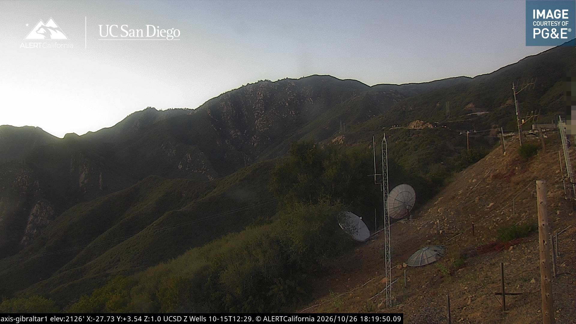
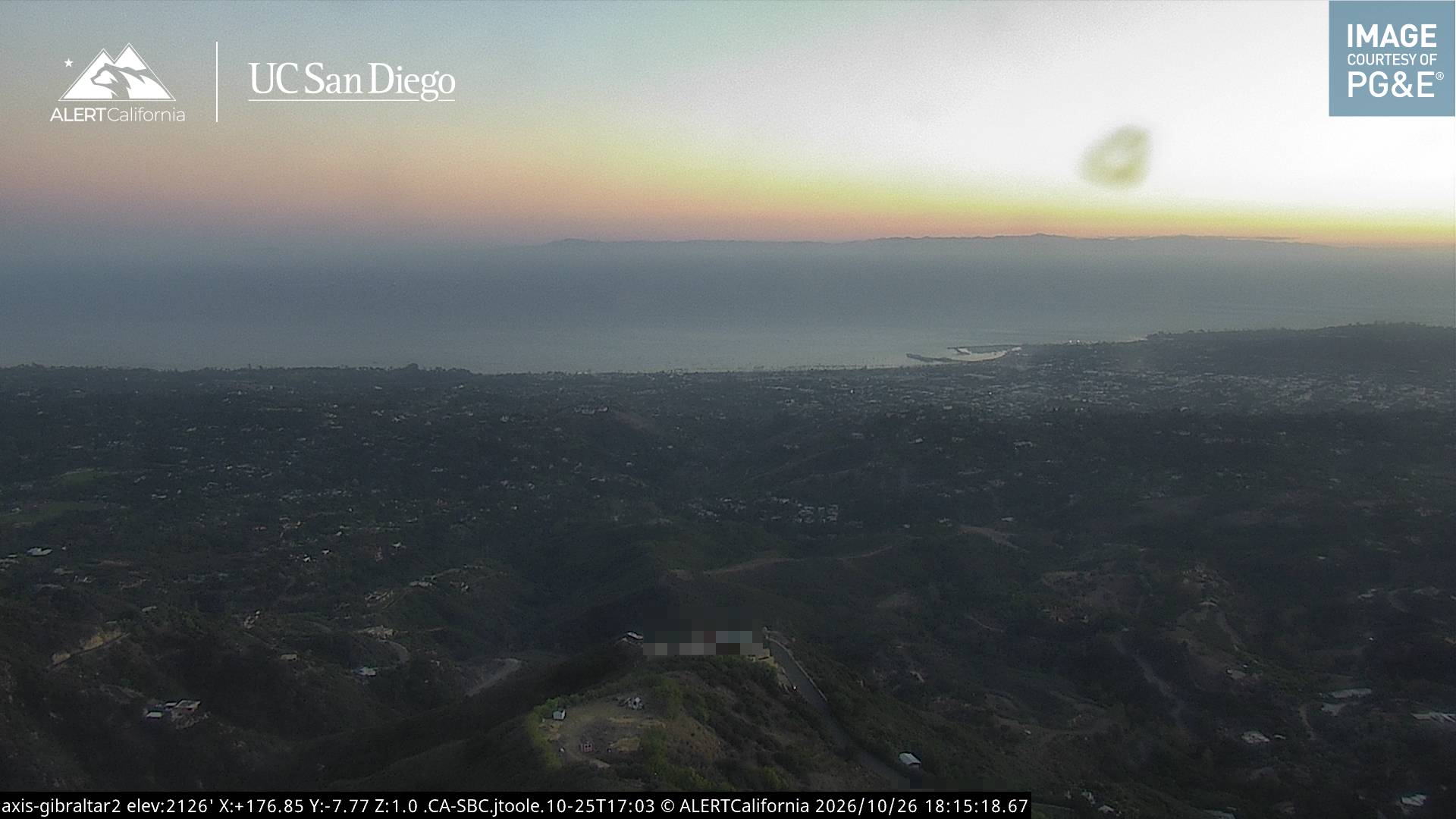
Cámaras web cerca de Little Pine Mountain


Historia alrededor de Little Pine Mountain
- Jesusita Fire2009
- Tea Fire2008
- Rey Fire2016
- Painted Cave Fire1990
Ciudades cerca de Little Pine Mountain
- Goletaa 20 km
- Santa Bárbaraa 20 km
- Isla Vistaa 24 km
- Carpinteriaa 32 km
- Ojaia 48 km
- Venturaa 54 km