Malapai Hill
Montaña · Estados Unidos
Malapai Hill is a small mountain in the middle of Joshua Tree National Park in southeastern California, which may have been part of an ancient volcano. It formed during a period of intrusive activity and either rose above the surface or eventually was exposed by erosion.
De Wikipedia, CC BY-SA · Leer el artículo
En la cumbre · pronóstico para las 22:00
58 °FParcialmente nublado · viento de 6 mph del O
 Verla en 3D
Pronóstico del tiempo en Malapai Hill
- 22:0058 °FO 6 mph–
- 1:0056 °FO 4 mph–
- 4:0055 °FO 2 mph–
- 7:0053 °FNO 1 mph–
- 10:0063 °FS 5 mph–
- 13:0067 °FS 9 mph–
- 16:0067 °FS 8 mph–
- 19:0061 °FSO 5 mph–
| Día | Cielo | Máx. / mín. | Lluvia | Viento hasta |
|---|---|---|---|---|
| mié, 28 oct | Parcialmente nublado | 67 °F / 53 °F | – | 9 mph |
| jue, 29 oct | Despejado | 68 °F / 56 °F | – | 10 mph |
| vie, 30 oct | Mayormente despejado | 65 °F / 54 °F | – | 6 mph |
| sáb, 31 oct | Parcialmente nublado | 62 °F / 53 °F | 0,04 pulg. | 7 mph |
| dom, 1 nov | Mayormente despejado | 63 °F / 54 °F | – | 12 mph |
| lun, 2 nov | Despejado | 61 °F / 48 °F | – | 15 mph |
| mar, 3 nov | Despejado | 66 °F / 53 °F | – | 12 mph |
Pronóstico de MET Norway (CC BY 4.0), actualizado a las 18:17 GMT-7. Horas locales.
Ficha técnica
- Tipo
- Montaña
- Prominencia
- 360 ft (110 m)
- País
- Estados Unidos
- Coordenadas
- 33.940°N 116.088°W
- Fuente
- Wikidata, CC0
Malapai Hill
Mountain in California, United States
Malapai Hill is a small mountain in the middle of Joshua Tree National Park in southeastern California, which may have been part of an ancient volcano. It formed during a period of intrusive activity and either rose above the surface or eventually was exposed by erosion. Its name is a derivative of the Spanish word malpaís, which refers to badlands.
De Wikipedia, CC BY-SA · Leer el artículo
Picos cerca de Malapai Hill
- Quail Mountain5814 ft · a 16 kmEn el mapa
- Eureka Peak5521 ft · a 26 kmEn el mapa
- Buried Mountain1472 ft · a 39 kmEn el mapa
- Toro Peak8717 ft · a 56 kmEn el mapa
- San Jacinto Peak10.833 ft · a 56 kmEn el mapa
- Tahquitz Peak8846 ft · a 58 kmEn el mapa
- Ryan MountainMontaña · a 6,7 kmEn el mapa
- SawtoothsMontaña · a 45 kmEn el mapa
- Martinez MountainMontaña · a 49 kmEn el mapa
- Asbestos MountainMontaña · a 49 kmEn el mapa
Montañas más altas de Estados Unidos
- Denali20.308 ftEn el mapa
- Monte San Elías18.009 ftEn el mapa
- Monte Foraker17.402 ftEn el mapa
- Monte Bona16.535 ftEn el mapa
- Monte Blackburn16.390 ftEn el mapa
- Monte Sanford16.237 ftEn el mapa
- Monte Vancouver15.787 ftEn el mapa
- Monte Churchill15.636 ftEn el mapa
- Monte Fairweather15.325 ftEn el mapa
- Mount Hubbard14.951 ftEn el mapa
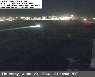
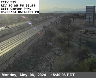
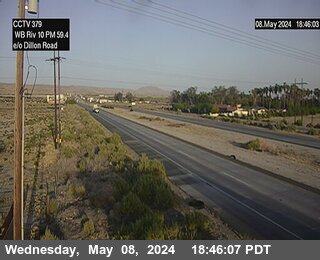
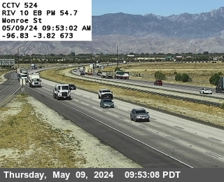
Cámaras web cerca de Malapai Hill
Ciudades cerca de Malapai Hill
- Twentynine Palmsa 22 km
- Indioa 27 km
- Coachellaa 30 km
- Indian Wellsa 35 km
- Palm Deserta 36 km
- La Quintaa 37 km