Mount Fisher
2843 m9327 ft
Montaña · Canadá
Mount Fisher, also known locally as Fisher Peak, is a 2,843-metre (9,327-foot) mountain summit located in the Hughes Range of the Canadian Rockies in British Columbia, Canada. Situated east of historic Fort Steele and the Rocky Mountain Trench, this prominent peak is visible from the Crowsnest Highway and Cranbrook.
De Wikipedia, CC BY-SA · Leer el artículo
El punto más alto de Hughes Range
En la cumbre · pronóstico para las 2:00
-14 °CNiebla · viento de 6 km/h del NE
 Verla en 3D
Clima en la cumbre de Mount Fisher, 2843 m
- 2:00-14 °CNE 6 km/h–
- 5:00-12 °CN 5 km/h–
- 8:00-13 °CN 5 km/h–
- 11:00-10 °CNE 5 km/h–
- 14:00-8 °CS 5 km/h–
- 17:00-8 °CS 3 km/h–
- 20:00-14 °CNE 5 km/h–
- 23:00-15 °CNE 6 km/h–
| Día | Cielo | Máx. / mín. | Lluvia | Viento hasta |
|---|---|---|---|---|
| Hoy | Parcialmente nublado | -7 °C / -15 °C | – | 6 km/h |
| vie, 30 oct | Parcialmente nublado | -4 °C / -18 °C | – | 8 km/h |
| sáb, 31 oct | Parcialmente nublado | -5 °C / -12 °C | – | 4 km/h |
| dom, 1 nov | Nublado | -4 °C / -11 °C | – | 3 km/h |
| lun, 2 nov | Despejado | -5 °C / -12 °C | – | 3 km/h |
| mar, 3 nov | Mayormente despejado | -3 °C / -8 °C | – | 7 km/h |
| mié, 4 nov | Despejado | -5 °C / -12 °C | – | 2 km/h |
Pronóstico de MET Norway (CC BY 4.0), actualizado a las 23:22 GMT-6. Horas locales.
Ficha técnica
- Tipo
- Montaña
- Altitud sobre el nivel del mar
- 2843 m (9327 ft)
- País
- Canadá
- Punto más alto de
- Hughes Range
- Coordenadas
- 49.646°N 115.484°W
- Fuente
- Wikidata, CC0
Mount Fisher (British Columbia)
Mountain in British Columbia, Canada
Mount Fisher, also known locally as Fisher Peak, is a 2,843-metre (9,327-foot) mountain summit located in the Hughes Range of the Canadian Rockies in British Columbia, Canada. Situated east of historic Fort Steele and the Rocky Mountain Trench, this prominent peak is visible from the Crowsnest Highway and Cranbrook. Its nearest higher peak is Mount Morro, 23.0 km (14.3 mi) to the north.
De Wikipedia, CC BY-SA · Leer el artículo
Picos cerca de Mount Fisher
- Three Sisters2788 m · a 29 kmEn el mapa
- Mount Fernie2210 m · a 29 kmEn el mapa
- Mount Proctor2393 m · a 31 kmEn el mapa
- Mount Hosmer2500 m · a 34 kmEn el mapa
- Shark Tooth Mountain2533 m · a 48 kmEn el mapa
- Tent Mountain2210 m · a 57 kmEn el mapa
- Phillipps Peak2500 m · a 60 kmEn el mapa
- The SteeplesMontaña · a 10 kmEn el mapa
Montañas más altas de Canadá
- Monte Logan5959 mEn el mapa
- Monte San Elías18.009 ftEn el mapa
- Monte Lucania5240 mEn el mapa
- King Peak5173 mEn el mapa
- Monte Steele5073 mEn el mapa
- Mount Wood4850 mEn el mapa
- Monte Vancouver15.787 ftEn el mapa
- Mount Slaggard4742 mEn el mapa
- Mount Macaulay4700 mEn el mapa
- Monte Fairweather15.325 ftEn el mapa
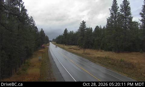
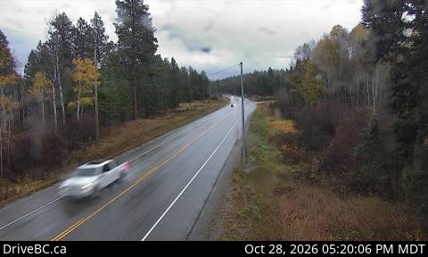
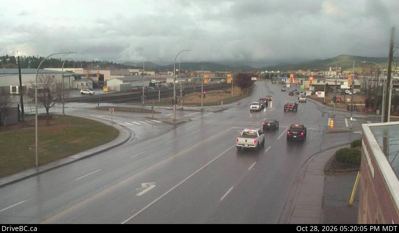
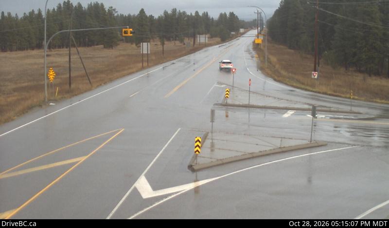
Cámaras web cerca de Mount Fisher
Ciudades cerca de Mount Fisher
- Cranbrooka 26 km