Mount Jefferson
10.495 ft3199 m
Montaña · Oregon Cascades · Estados Unidos
Mount Jefferson is a stratovolcano in the Cascade Volcanic Arc, part of the Cascade Range in the U.S. state of Oregon. The second highest mountain in Oregon, it is situated within Linn County, Jefferson County, and Marion County and forms part of the Mount Jefferson Wilderness.
De Wikipedia, CC BY-SA · Leer el artículo
En la cumbre · pronóstico para las 21:00
16 °FNieve · viento de 10 mph del SO
 Verla en 3D
Clima en la cumbre de Mount Jefferson, 10.495 ft
- 21:0016 °FSO 10 mph0,07 pulg.
- 0:0016 °FO 9 mph0,06 pulg.
- 3:0015 °FO 7 mph0,11 pulg.
- 6:0015 °FSO 5 mph0,15 pulg.
- 9:0015 °FSO 5 mph0,08 pulg.
- 12:0016 °FO 7 mph0,02 pulg.
- 15:0016 °FO 11 mph0,04 pulg.
- 18:0014 °FO 12 mph0,03 pulg.
| Día | Cielo | Máx. / mín. | Lluvia | Viento hasta |
|---|---|---|---|---|
| mar, 27 oct | Nieve débil | 16 °F / 12 °F | 0,49 pulg. | 14 mph |
| mié, 28 oct | Nieve | 16 °F / 12 °F | 0,32 pulg. | 11 mph |
| jue, 29 oct | Nublado | 19 °F / 8 °F | 0,05 pulg. | 6 mph |
| vie, 30 oct | Despejado | 16 °F / 4 °F | – | 3 mph |
| sáb, 31 oct | Nieve | 17 °F / 6 °F | 0,1 pulg. | 5 mph |
| dom, 1 nov | Despejado | 17 °F / 7 °F | – | 4 mph |
| lun, 2 nov | Nublado | 25 °F / 9 °F | – | 6 mph |
Pronóstico de MET Norway (CC BY 4.0), actualizado a las 18:17 GMT-7. Horas locales.
Ficha técnica
- Tipo
- Montaña
- Altitud sobre el nivel del mar
- 10.495 ft (3199 m)
- Prominencia
- 5777 ft (1761 m)
- Cordillera
- Oregon Cascades
- País
- Estados Unidos
- Coordenadas
- 44.674°N 121.800°W
- Número de volcán
- 322020 en el Programa Global de Vulcanismo
- Fuente
- Wikidata, CC0
Mount Jefferson (Oregon)
Stratovolcano in the Cascade Range, Oregon, US
Mount Jefferson is a stratovolcano in the Cascade Volcanic Arc, part of the Cascade Range in the U.S. state of Oregon. The second highest mountain in Oregon, it is situated within Linn County, Jefferson County, and Marion County and forms part of the Mount Jefferson Wilderness. Due to the ruggedness of its surroundings, the mountain is one of the hardest volcanoes to reach in the Cascades.
De Wikipedia, CC BY-SA · Leer el artículo
Picos cerca de Mount Jefferson
- Three Fingered Jack7844 ft · a 22 kmEn el mapa
- Hayrick Butte5523 ft · a 31 kmEn el mapa
- Hoodoo Butte5597 ft · a 31 kmEn el mapa
- Battle Ax5566 ft · a 32 kmEn el mapa
- Black Butte6440 ft · a 33 kmEn el mapa
- Mount Washington7795 ft · a 38 kmEn el mapa
- Belknap Crater6873 ft · a 43 kmEn el mapa
- Black Crater7257 ft · a 46 kmEn el mapa
- Carpenter Mountain5353 ft · a 52 kmEn el mapa
- Bachelor MountainMontaña · a 18 kmEn el mapa
Los más altos de Oregon Cascades
- Monte Hood11.237 ftEn el mapa
- Mount Jefferson10.495 ftEn el mapa
- Three Sisters de Oregón10.364 ftEn el mapa
- Monte Bachelor9068 ftEn el mapa
- Mount Scott8930 ftEn el mapa
- Diamond Peak8748 ftEn el mapa
- Newberry Volcano7986 ftEn el mapa
- Three Fingered Jack7844 ftEn el mapa
- Maiden Peak7823 ftEn el mapa
Montañas más altas de Estados Unidos
- Denali20.308 ftEn el mapa
- Monte San Elías18.009 ftEn el mapa
- Monte Foraker17.402 ftEn el mapa
- Monte Bona16.535 ftEn el mapa
- Monte Blackburn16.390 ftEn el mapa
- Monte Sanford16.237 ftEn el mapa
- Monte Vancouver15.787 ftEn el mapa
- Monte Churchill15.636 ftEn el mapa
- Monte Fairweather15.325 ftEn el mapa
- Mount Hubbard14.951 ftEn el mapa
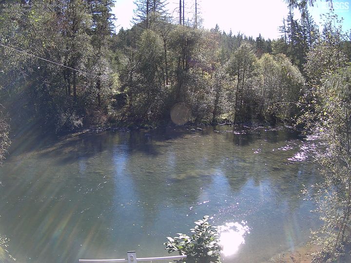
Cámaras web cerca de Mount Jefferson



Historia alrededor de Mount Jefferson
- Cram Fire2025
- Whitewater Fire2017
- B&B Complex Fires2003