Mount Konocti
4305 ft1312 m
Montaña · Cordillera costera de California · Estados Unidos
Mount Konocti is a volcano in Lake County, California on the south shore of Clear Lake. At 4,305 feet (1,312 m), it is the second highest peak in the Clear Lake Volcanic Field, which consists of numerous volcanic domes and cones ranging from 10,000 to 2.1 million years old.
De Wikipedia, CC BY-SA · Leer el artículo
En la cumbre · pronóstico para las 11:00
45 °FMayormente despejado · viento de 4 mph del O
 Verla en 3D
Clima en la cumbre de Mount Konocti, 4305 ft
- 11:0045 °FO 4 mph–
- 14:0053 °FNO 9 mph–
- 17:0051 °FO 10 mph–
- 20:0044 °FO 3 mph–
- 23:0041 °FO 3 mph–
- 2:0042 °FO 3 mph–
- 5:0042 °FO 2 mph–
- 8:0042 °FSO 2 mph–
| Día | Cielo | Máx. / mín. | Lluvia | Viento hasta |
|---|---|---|---|---|
| Hoy | Despejado | 53 °F / 41 °F | – | 10 mph |
| mié, 28 oct | Mayormente despejado | 57 °F / 41 °F | – | 5 mph |
| jue, 29 oct | Nublado | 57 °F / 43 °F | – | 6 mph |
| vie, 30 oct | Despejado | 51 °F / 38 °F | – | 7 mph |
| sáb, 31 oct | Nublado | 49 °F / 38 °F | 0,01 pulg. | 9 mph |
| dom, 1 nov | Despejado | 52 °F / 36 °F | – | 4 mph |
| lun, 2 nov | Parcialmente nublado | 59 °F / 43 °F | – | 3 mph |
Pronóstico de MET Norway (CC BY 4.0), actualizado a las 06:17 GMT-7. Horas locales.
Ficha técnica
- Tipo
- Montaña
- Altitud sobre el nivel del mar
- 4305 ft (1312 m)
- Prominencia
- 2339 ft (713 m)
- Cordillera
- Cordillera costera de California
- País
- Estados Unidos
- Coordenadas
- 38.975°N 122.766°W
- Número de volcán
- 323100 en el Programa Global de Vulcanismo
- Fuente
- Wikidata, CC0
Mount Konocti
Mountain in the state of California, United States
Mount Konocti is a volcano in Lake County, California on the south shore of Clear Lake. At 4,305 feet (1,312 m), it is the second highest peak in the Clear Lake Volcanic Field, which consists of numerous volcanic domes and cones ranging from 10,000 to 2.1 million years old. Although it is often described as extinct, it is actually classified by the USGS as High Threat Potential.
De Wikipedia, CC BY-SA · Leer el artículo
Picos cerca de Mount Konocti
- Cobb Mountain4724 ft · a 19 kmEn el mapa
- Frog Woman Rock879 ft · a 26 kmEn el mapa
- Mount Saint Helena4327 ft · a 36 kmEn el mapa
- Bear Valley Buttes2166 ft · a 36 kmEn el mapa
- Snow Mountain East7055 ft · a 45 kmEn el mapa
- Saint John Mountain6749 ft · a 52 kmEn el mapa
- Mount HannahMontaña · a 9,9 kmEn el mapa
- Seigler MountainMontaña · a 12 kmEn el mapa
- Mahnke PeakMontaña · a 15 kmEn el mapa
- Boggs MountainMontaña · a 19 kmEn el mapa
Los más altos de Cordillera costera de California
- Mount Linn8098 ftEn el mapa
- Black Butte7455 ftEn el mapa
- Pico Antonio6958 ftEn el mapa
- Saint John Mountain6749 ftEn el mapa
- Mount Konocti4305 ftEn el mapa
- Mount Tamalpais2572 ftEn el mapa
Montañas más altas de Estados Unidos
- Denali20.308 ftEn el mapa
- Monte San Elías18.009 ftEn el mapa
- Monte Foraker17.402 ftEn el mapa
- Monte Bona16.535 ftEn el mapa
- Monte Blackburn16.390 ftEn el mapa
- Monte Sanford16.237 ftEn el mapa
- Monte Vancouver15.787 ftEn el mapa
- Monte Churchill15.636 ftEn el mapa
- Monte Fairweather15.325 ftEn el mapa
- Mount Hubbard14.951 ftEn el mapa
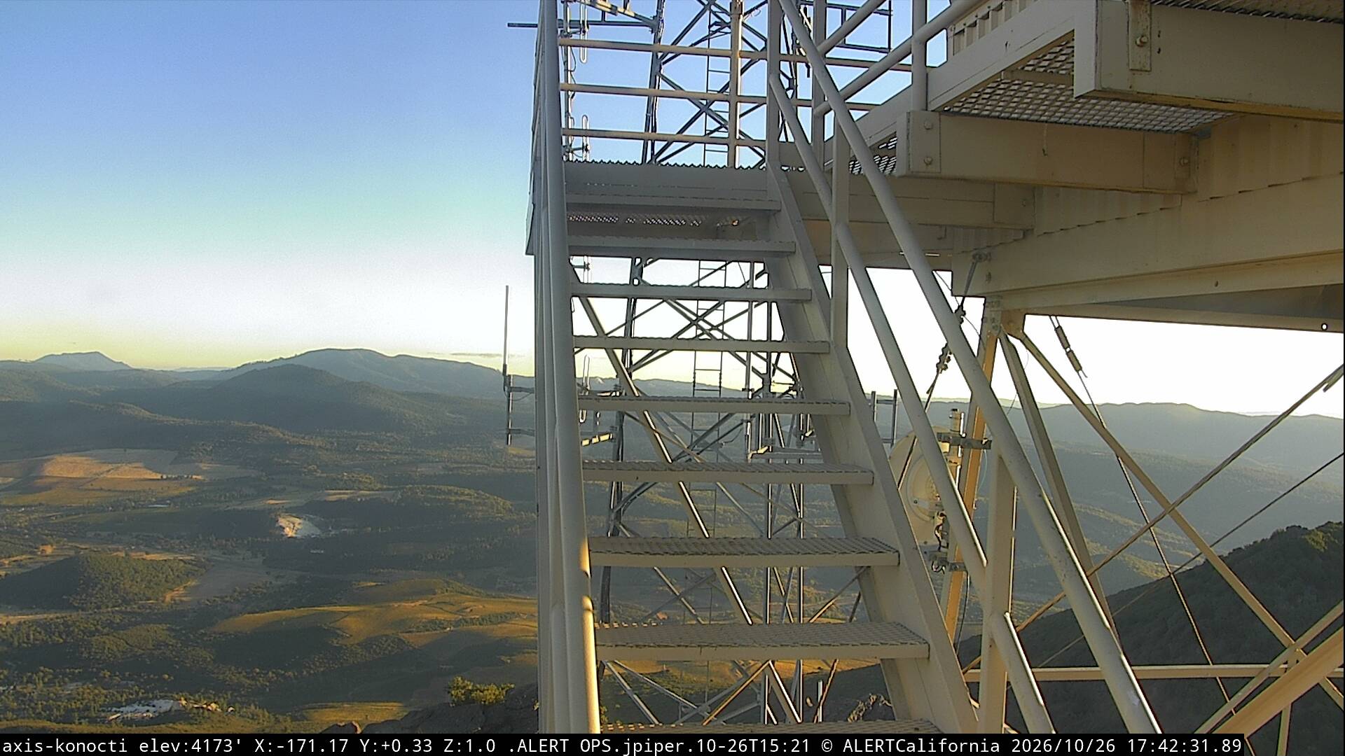
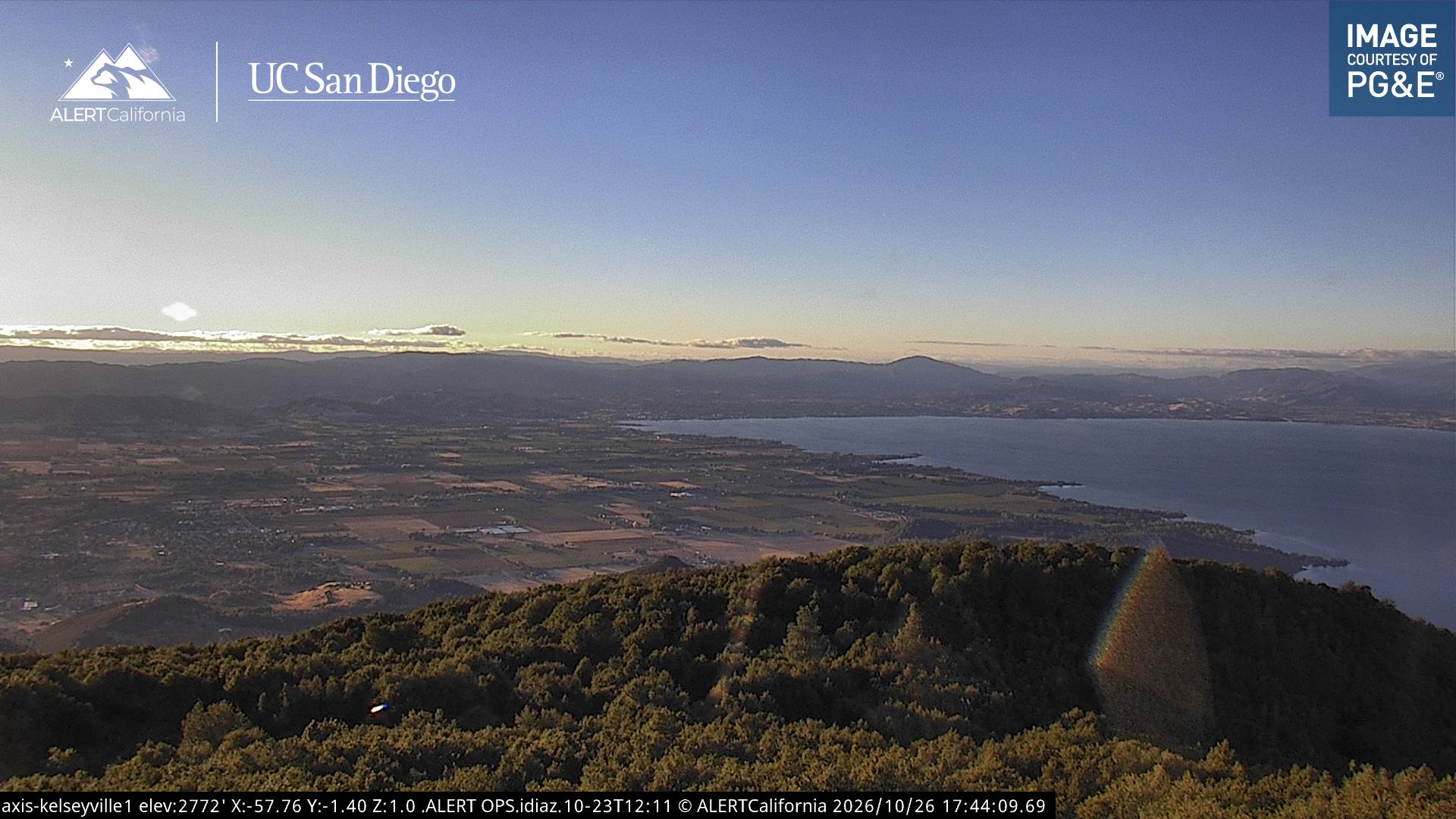
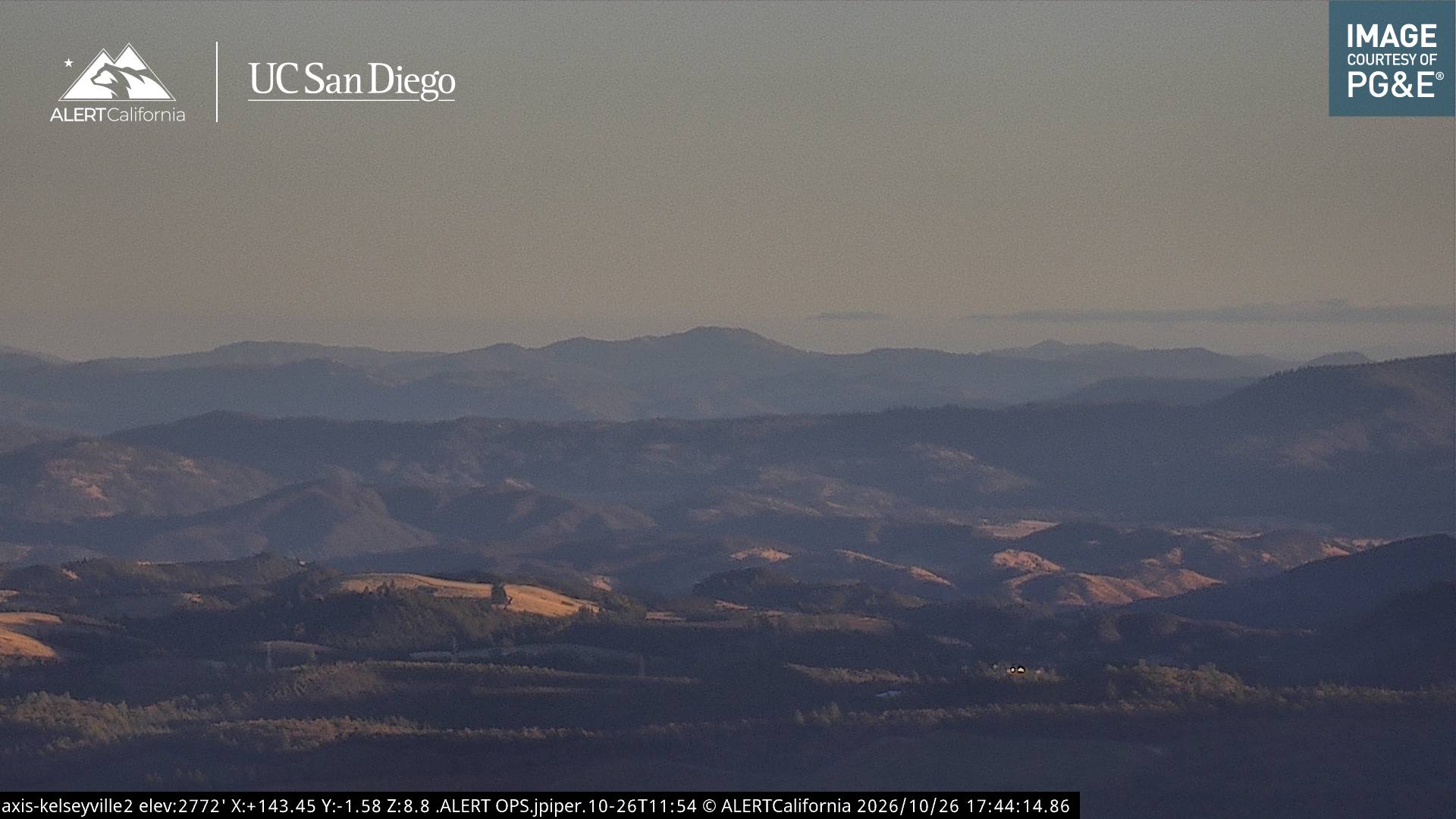
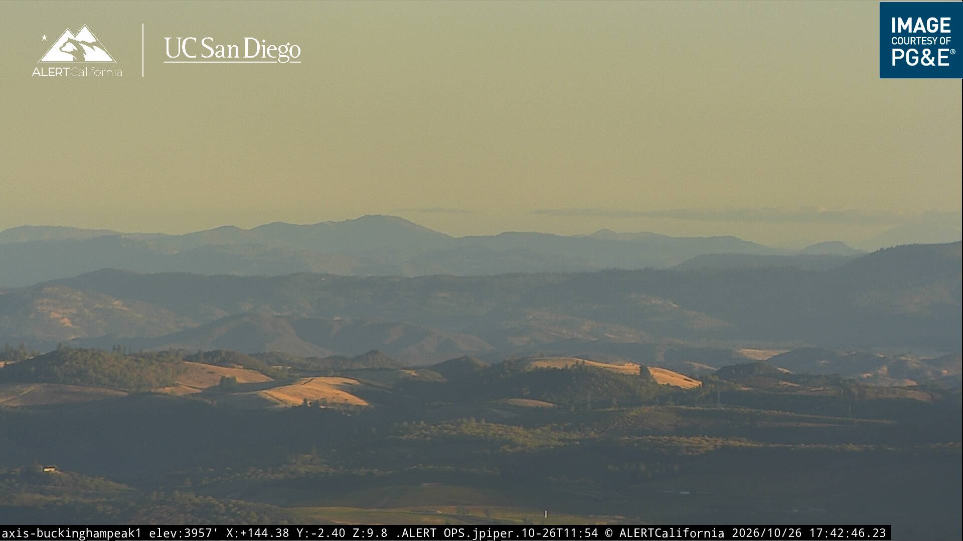
Cámaras web cerca de Mount Konocti
Historia alrededor de Mount Konocti
- Valley Fire2015
- Pawnee Fire2018
Ciudades cerca de Mount Konocti
- Clearlakea 12 km
- Lakeporta 15 km
- Cloverdalea 29 km
- Healdsburga 40 km
- Ukiaha 43 km
- Calistogaa 47 km