Mount Maclure
12.887 ft3928 m
Montaña · Cordillera Catedral · Estados Unidos
Mount Maclure is the nearest neighbor to Mount Lyell, the highest point in Yosemite National Park. Mount Maclure is the fifth-highest mountain of Yosemite. Mount Maclure is located at the southeast end of the Cathedral Range, about 0.6 miles (0.97 km) northwest of Lyell.
De Wikipedia, CC BY-SA · Leer el artículo
En la cumbre · pronóstico para las 22:00
20 °FDespejado · viento de 4 mph del SO
 Verla en 3D
Clima en la cumbre de Mount Maclure, 12.887 ft
- 22:0020 °FSO 4 mph–
- 1:0021 °FSO 5 mph–
- 4:0020 °FSO 5 mph–
- 7:0019 °FSO 6 mph–
- 10:0030 °FSO 8 mph–
- 13:0033 °FSO 12 mph–
- 16:0030 °FSO 12 mph–
- 19:0019 °FSO 6 mph–
| Día | Cielo | Máx. / mín. | Lluvia | Viento hasta |
|---|---|---|---|---|
| mar, 27 oct | Despejado | 33 °F / 18 °F | – | 13 mph |
| mié, 28 oct | Parcialmente nublado | 33 °F / 19 °F | – | 8 mph |
| jue, 29 oct | Nublado | 26 °F / 17 °F | 0,11 pulg. | 10 mph |
| vie, 30 oct | Nieve | 20 °F / 11 °F | 0,11 pulg. | 6 mph |
| sáb, 31 oct | Nublado | 18 °F / 12 °F | 0,02 pulg. | 10 mph |
| dom, 1 nov | Despejado | 26 °F / 10 °F | – | 5 mph |
| lun, 2 nov | Despejado | 37 °F / 19 °F | – | 4 mph |
Pronóstico de MET Norway (CC BY 4.0), actualizado a las 18:17 GMT-7. Horas locales.
Ficha técnica
- Tipo
- Montaña
- Altitud sobre el nivel del mar
- 12.887 ft (3928 m)
- Cordillera
- Cordillera Catedral
- País
- Estados Unidos
- Primer ascenso
- 1883
- Coordenadas
- 37.743°N 119.282°W
- Fuente
- Wikidata, CC0
Mount Maclure
Mountain in California, United States
Mount Maclure is the nearest neighbor to Mount Lyell, the highest point in Yosemite National Park. Mount Maclure is the fifth-highest mountain of Yosemite. Mount Maclure is located at the southeast end of the Cathedral Range, about 0.6 miles (0.97 km) northwest of Lyell. The summit is on the boundary between Madera and Tuolumne counties which is also the boundary between the park and the Ansel Adams Wilderness.
De Wikipedia, CC BY-SA · Leer el artículo
Picos cerca de Mount Maclure
- Monte Lyell13.114 ft · a 1 kmEn el mapa
- Simmons Peak12.497 ft · a 2,2 kmEn el mapa
- Rodgers Peak12.984 ft · a 3 kmEn el mapa
- Mount Florence12.569 ft · a 3 kmEn el mapa
- Parsons Peak12.153 ft · a 4,3 kmEn el mapa
- Vogelsang Peak11.498 ft · a 6,9 kmEn el mapa
- Mount Ritter13.156 ft · a 9,5 kmEn el mapa
- Monte Clark11.527 ft · a 14 kmEn el mapa
- Unicorn Peak10.828 ft · a 14 kmEn el mapa
- Tresidder Peak10.600 ft · a 16 kmEn el mapa
Los más altos de Cordillera Catedral
- Monte Lyell13.114 ftEn el mapa
- Mount Maclure12.887 ftEn el mapa
- Mount Florence12.569 ftEn el mapa
- Rafferty Peak11.109 ftEn el mapa
- Johnson Peak11.053 ftEn el mapa
Montañas más altas de Estados Unidos
- Denali20.308 ftEn el mapa
- Monte San Elías18.009 ftEn el mapa
- Monte Foraker17.402 ftEn el mapa
- Monte Bona16.535 ftEn el mapa
- Monte Blackburn16.390 ftEn el mapa
- Monte Sanford16.237 ftEn el mapa
- Monte Vancouver15.787 ftEn el mapa
- Monte Churchill15.636 ftEn el mapa
- Monte Fairweather15.325 ftEn el mapa
- Mount Hubbard14.951 ftEn el mapa
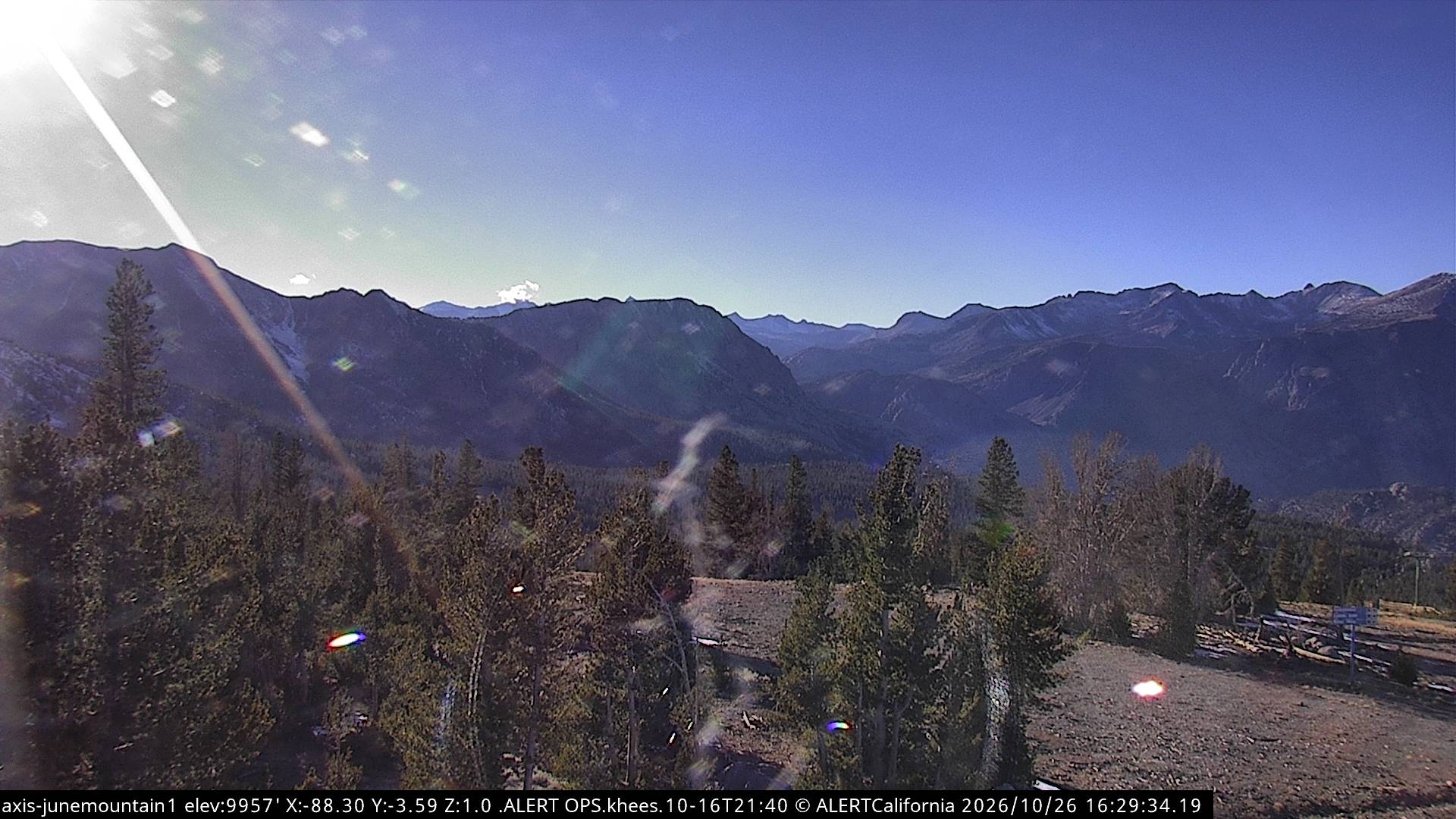
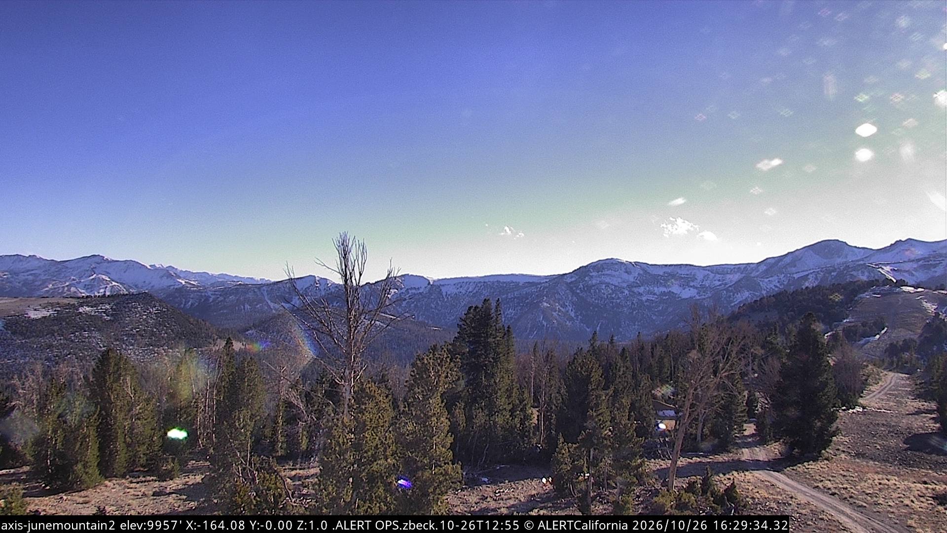
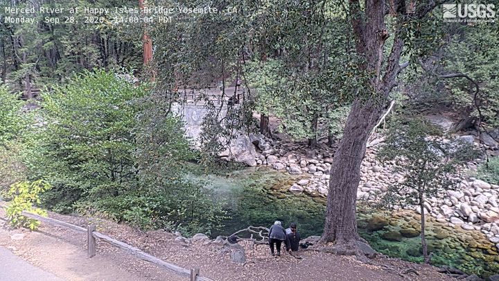
Cámaras web cerca de Mount Maclure
Historia alrededor de Mount Maclure
- Red Fire2022
Ciudades cerca de Mount Maclure
- Mammoth Lakesa 29 km