Mount Stuart
9413 ft2869 m
Montaña · Stuart Range · Estados Unidos
Mount Stuart is a mountain in the Cascade Range, in the U.S. state of Washington. It is the second highest non-volcanic peak in the state, after Bonanza Peak and sixth-highest overall.
De Wikipedia, CC BY-SA · Leer el artículo
El punto más alto de Wenatchee Mountains
En la cumbre · pronóstico para las 16:00
22 °FNublado · viento de 4 mph del O
 Verla en 3D
Clima en la cumbre de Mount Stuart, 9413 ft
- 16:0022 °FO 4 mph–
- 19:0017 °FNO 3 mph–
- 22:0014 °FO 5 mph–
- 1:0017 °FO 4 mph–
- 4:0018 °FO 3 mph–
- 7:0017 °FO 3 mph0 pulg.
- 10:0020 °FO 5 mph0,02 pulg.
- 13:0021 °FO 8 mph0,03 pulg.
| Día | Cielo | Máx. / mín. | Lluvia | Viento hasta |
|---|---|---|---|---|
| mar, 27 oct | Nieve débil | 21 °F / 14 °F | 0,18 pulg. | 13 mph |
| mié, 28 oct | Parcialmente nublado | 17 °F / 3 °F | 0,44 pulg. | 10 mph |
| jue, 29 oct | Nieve débil | 15 °F / 2 °F | 0,13 pulg. | 5 mph |
| vie, 30 oct | Nieve | 16 °F / 2 °F | 0,3 pulg. | 4 mph |
| sáb, 31 oct | Parcialmente nublado | 16 °F / 4 °F | 0,01 pulg. | 3 mph |
| dom, 1 nov | Despejado | 19 °F / 2 °F | – | 2 mph |
| lun, 2 nov | Parcialmente nublado | 28 °F / 16 °F | – | 2 mph |
Pronóstico de MET Norway (CC BY 4.0), actualizado a las 12:17 GMT-7. Horas locales.
Ficha técnica
- Tipo
- Montaña
- Altitud sobre el nivel del mar
- 9413 ft (2869 m)
- Prominencia
- 5354 ft (1632 m)
- Cordillera
- Stuart Range
- País
- Estados Unidos
- Primer ascenso
- 1873
- Punto más alto de
- Wenatchee Mountains
- Coordenadas
- 47.475°N 120.901°W
- Fuente
- Wikidata, CC0
Mount Stuart
Mountain in Washington, United States
Mount Stuart is a mountain in the Cascade Range, in the U.S. state of Washington. It is the second highest non-volcanic peak in the state, after Bonanza Peak and sixth-highest overall. Mount Stuart is the highest peak in the Stuart Range, and it is located in the central part of the Washington Cascades, south of Stevens Pass and east of Snoqualmie Pass in the Alpine Lakes Wilderness.
De Wikipedia, CC BY-SA · Leer el artículo
Picos cerca de Mount Stuart
- Argonaut Peak8457 ft · a 3,1 kmEn el mapa
- Dragontail Peak8825 ft · a 5,1 kmEn el mapa
- Enchantment Peak8520 ft · a 7,2 kmEn el mapa
- Cannon Mountain8652 ft · a 8 kmEn el mapa
- Hawkins Mountain7160 ft · a 8 kmEn el mapa
- Harding Mountain7172 ft · a 8,6 kmEn el mapa
- Prusik Peak8000 ft · a 8,9 kmEn el mapa
- Cathedral Rock6722 ft · a 20 kmEn el mapa
- Mount Daniel7959 ft · a 23 kmEn el mapa
- Mac Peak6860 ft · a 24 kmEn el mapa
Los más altos de Stuart Range
- Mount Stuart9413 ftEn el mapa
- Edward Peak7282 ftEn el mapa
Montañas más altas de Estados Unidos
- Denali20.308 ftEn el mapa
- Monte San Elías18.009 ftEn el mapa
- Monte Foraker17.402 ftEn el mapa
- Monte Bona16.535 ftEn el mapa
- Monte Blackburn16.390 ftEn el mapa
- Monte Sanford16.237 ftEn el mapa
- Monte Vancouver15.787 ftEn el mapa
- Monte Churchill15.636 ftEn el mapa
- Monte Fairweather15.325 ftEn el mapa
- Mount Hubbard14.951 ftEn el mapa
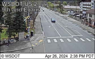
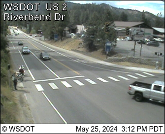
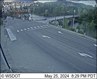
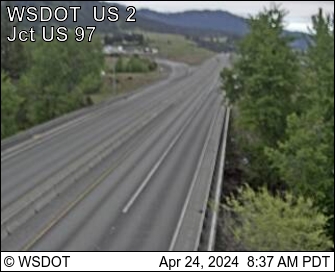
Cámaras web cerca de Mount Stuart
Historia alrededor de Mount Stuart
Ciudades cerca de Mount Stuart
- Leavenwortha 22 km
- Roslyna 29 km
- Cle Eluma 31 km
- Wenatcheea 45 km
- East Wenatcheea 47 km
- Rock Islanda 58 km