Piz Giuv
3096 m10.157 ft
Montaña · Oberalpstock-Clariden-Schärhorn Group · Suiza
Piz Giuv is a mountain of the Glarus Alps, located on the border between the cantons of Uri and Graubünden. At 3,096 metres above sea level, it is the highest mountain of the Glarus Alps lying west of the Oberalpstock.
De Wikipedia, CC BY-SA · Leer el artículo
En la cumbre · pronóstico para las 18:00
-1 °CDespejado · viento de 4 km/h del N
 Verla en 3D
Clima en la cumbre de Piz Giuv, 3096 m
- 18:00-1 °CN 4 km/h–
- 21:00-3 °CN 4 km/h–
- 0:00-6 °CO 6 km/h–
- 3:00-7 °CO 6 km/h0,2 mm
- 6:00-5 °CE 5 km/h–
- 9:00-3 °CN 8 km/h0,1 mm
- 12:00-2 °CN 8 km/h–
- 15:00-3 °CN 8 km/h–
| Día | Cielo | Máx. / mín. | Lluvia | Viento hasta |
|---|---|---|---|---|
| mié, 28 oct | Nublado | -2 °C / -7 °C | 0,3 mm | 9 km/h |
| jue, 29 oct | Despejado | 3 °C / -9 °C | – | 8 km/h |
| vie, 30 oct | Despejado | 1 °C / -11 °C | – | 6 km/h |
| sáb, 31 oct | Despejado | 2 °C / -10 °C | – | 4 km/h |
| dom, 1 nov | Despejado | 1 °C / -13 °C | – | 5 km/h |
| lun, 2 nov | Despejado | -2 °C / -10 °C | – | 9 km/h |
| mar, 3 nov | Parcialmente nublado | -3 °C / -11 °C | – | 10 km/h |
Pronóstico de MET Norway (CC BY 4.0), actualizado a las 18:17 CET. Horas locales.
Ficha técnica
- Tipo
- Montaña
- Altitud sobre el nivel del mar
- 3096 m (10.157 ft)
- Prominencia
- 749 m (2457 ft)
- Cordillera
- Oberalpstock-Clariden-Schärhorn Group
- Pico padre
- Tödi
- País
- Suiza
- Coordenadas
- 46.702°N 8.693°E
- Fuente
- Wikidata, CC0
Piz Giuv
Mountain in Switzerland
Piz Giuv is a mountain of the Glarus Alps, located on the border between the cantons of Uri and Graubünden. At 3,096 metres above sea level, it is the highest mountain of the Glarus Alps lying west of the Oberalpstock. Its summit is situated between three valleys: the Fellital and Etzlital on the north side and the Val Giuv (Surselva) on the south side. The slightly lower Piz Nair lies on its east side
De Wikipedia, CC BY-SA · Leer el artículo
Picos cerca de Piz Giuv
- Scopi3190 m · a 18 kmEn el mapa
- Piz Medel3210 m · a 19 kmEn el mapa
- Clariden3267 m · a 21 kmEn el mapa
- Tödi3612 m · a 21 kmEn el mapa
- Titlis3238 m · a 21 kmEn el mapa
- Dammastock3630 m · a 22 kmEn el mapa
- Hinter Tierberg3445 m · a 23 kmEn el mapa
- Bifertenstock3421 m · a 23 kmEn el mapa
- Galenstock3586 m · a 23 kmEn el mapa
- Witenwasserenstock3085 m · a 25 kmEn el mapa
Pico padre
El pico más alto más cercano respecto al que se mide su prominencia.
- Tödi3612 mEn el mapa
Picos por debajo de Piz Giuv
- Bristen3073 mEn el mapa
- Piz Nair3059 mEn el mapa
- Rienzenstock2957 mEn el mapa
- Chrüzlistock2707 mEn el mapa
Los más altos de Oberalpstock-Clariden-Schärhorn Group
- Oberalpstock3328 mEn el mapa
- Schärhorn3294 mEn el mapa
- Clariden3267 mEn el mapa
- Düssi3256 mEn el mapa
- Piz Cambrialas3208 mEn el mapa
- Gross Windgällen3187 mEn el mapa
- Gross Ruchen3138 mEn el mapa
- Piz Giuv3096 mEn el mapa
- Bristen3073 mEn el mapa
Montañas más altas de Suiza
- Pico Dufour4634 mEn el mapa
- Dom4546 mEn el mapa
- Liskamm4532 mEn el mapa
- Weisshorn4505 mEn el mapa
- Cervino4478 mEn el mapa
- Dent Blanche4357 mEn el mapa
- Grand Combin4309 mEn el mapa
- Finsteraarhorn4274 mEn el mapa
- Zinalrothorn4221 mEn el mapa
- Alphubel4206 mEn el mapa
Cámaras web cerca de Piz Giuv
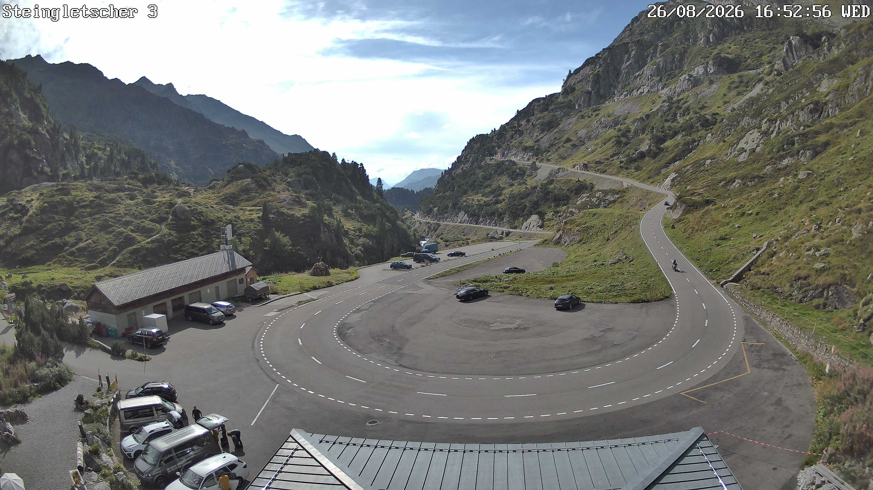

Historia alrededor de Piz Giuv
- The Rhineland massacres: Members of the People's Crusade led by Count Emicho destroy most of the Jewish communities along the Rhine in a series of large…1096
- Göschenen riots1875
- Battle of Gotthard Pass1799
- Earthquake — Switzerland1601
- F/A-18 Absturz am Sustenpass2016
- Lawinenunfall bei Wassen1888
- Battle of Devil's Bridge1799
- Battle of Amsteg1799