Rattlesnake Mountain
1489 ft454 m
Montaña · Kittatinny Mountain · Estados Unidos
Rattlesnake Mountain is a peak of the Kittatinny Mountains in Sussex County, New Jersey, United States. The mountain stands 1,489 feet (454 m) high. It lies along the Appalachian Trail in the Delaware Water Gap National Recreation Area. Located near the junction of Mullins Rd. (unmarked) and the trail.
De Wikipedia, CC BY-SA · Leer el artículo
En la cumbre · pronóstico para las 3:00
42 °FDespejado · viento de 6 mph del SO
Clima en la cumbre de Rattlesnake Mountain, 1489 ft
- 3:0042 °FSO 6 mph–
- 6:0040 °FSO 6 mph–
- 9:0044 °FSO 7 mph–
- 12:0060 °FSO 11 mph–
- 15:0062 °FSO 10 mph–
- 18:0055 °FSO 7 mph–
- 21:0051 °FSO 8 mph–
- 0:0050 °FSO 8 mph–
| Día | Cielo | Máx. / mín. | Lluvia | Viento hasta |
|---|---|---|---|---|
| Hoy | Mayormente despejado | 62 °F / 40 °F | – | 11 mph |
| vie, 30 oct | Mayormente despejado | 60 °F / 45 °F | – | 14 mph |
| sáb, 31 oct | Mayormente despejado | 54 °F / 40 °F | – | 11 mph |
| dom, 1 nov | Despejado | 58 °F / 37 °F | – | 8 mph |
| lun, 2 nov | Nublado | 64 °F / 38 °F | – | 5 mph |
| mar, 3 nov | Parcialmente nublado | 66 °F / 43 °F | – | 8 mph |
| mié, 4 nov | Nublado | 64 °F / 48 °F | – | 9 mph |
Pronóstico de MET Norway (CC BY 4.0), actualizado a las 21:17 GMT-4. Horas locales.
Ficha técnica
- Tipo
- Montaña
- Altitud sobre el nivel del mar
- 1489 ft (454 m)
- Cordillera
- Kittatinny Mountain
- País
- Estados Unidos
- Coordenadas
- 41.132°N 74.863°W
- Fuente
- Wikidata, CC0
Rattlesnake Mountain (New Jersey)
Mountain in New Jersey, United States
Rattlesnake Mountain is a peak of the Kittatinny Mountains in Sussex County, New Jersey, United States. The mountain stands 1,489 feet (454 m) high. It lies along the Appalachian Trail in the Delaware Water Gap National Recreation Area. Located near the junction of Mullins Rd. (unmarked) and the trail. Rattlesnakes like any of the rocky areas of the Kittatinny Ridge, for sunning themselves.
De Wikipedia, CC BY-SA · Leer el artículo
Picos cerca de Rattlesnake Mountain
- Bird Mountain1497 ft · a 1,1 kmEn el mapa
- Blue Mountain1420 ft · a 2 kmEn el mapa
- Paradise Mountain1606 ft · a 2,3 kmEn el mapa
- Culver Ridge1500 ft · a 10 kmEn el mapa
- Smiths Hill863 ft · a 11 kmEn el mapa
- Wallpack Ridge928 ft · a 11 kmEn el mapa
- Catfish Mountain1560 ft · a 13 kmEn el mapa
- Sunrise Mountain1650 ft · a 15 kmEn el mapa
- Mount Mohican1580 ft · a 20 kmEn el mapa
- Sterling Hill833 ft · a 22 kmEn el mapa
Los más altos de Kittatinny Mountain
- Sunrise Mountain1650 ftEn el mapa
- Rattlesnake Mountain1489 ftEn el mapa
- Wallpack Ridge928 ftEn el mapa
Montañas más altas de Estados Unidos
- Denali20.308 ftEn el mapa
- Monte San Elías18.009 ftEn el mapa
- Monte Foraker17.402 ftEn el mapa
- Monte Bona16.535 ftEn el mapa
- Monte Blackburn16.390 ftEn el mapa
- Monte Sanford16.237 ftEn el mapa
- Monte Vancouver15.787 ftEn el mapa
- Monte Churchill15.636 ftEn el mapa
- Monte Fairweather15.325 ftEn el mapa
- Mount Hubbard14.951 ftEn el mapa
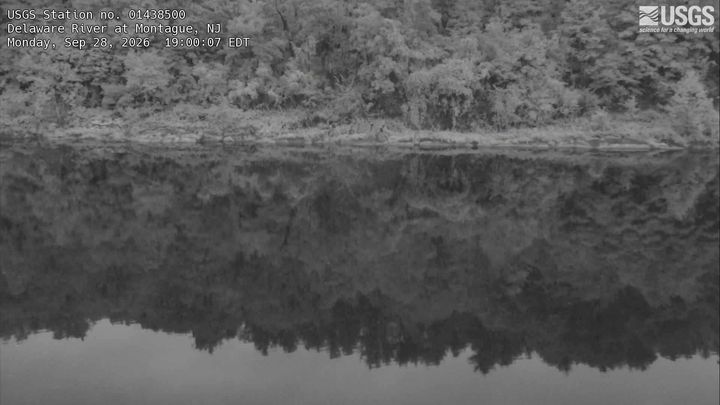
Cámaras web cerca de Rattlesnake Mountain

Ciudades cerca de Rattlesnake Mountain
- Newtona 13 km
- Spartaa 22 km
- Hopatconga 26 km
- Hopatcong Hillsa 26 km
- Stanhopea 28 km
- Mount Arlingtona 30 km