Skirveggen
1381 m4531 ft
Montaña · Noruega
Skirveggin is a mountain in Tinn Municipality in Telemark county, Norway. The 1,380-metre (4,530 ft) tall mountain is located about 13 kilometres (8.1 mi) northeast of the village of Tinn Austbygd and about 8 kilometres (5.0 mi) to the southwest of the village of Nore.
De Wikipedia, CC BY-SA · Leer el artículo
En la cumbre · pronóstico para las 11:00
-1 °CNiebla · viento de 36 km/h del SO
 Verla en 3D
Clima en la cumbre de Skirveggen, 1381 m
- 11:00-1 °CSO 36 km/h–
- 14:001 °CSO 35 km/h–
- 17:000 °CS 33 km/h–
- 20:000 °CSO 32 km/h–
- 23:000 °CSO 27 km/h–
- 2:00-0 °CO 28 km/h–
- 5:00-1 °CO 31 km/h–
- 8:00-0 °CSO 30 km/h–
| Día | Cielo | Máx. / mín. | Lluvia | Viento hasta |
|---|---|---|---|---|
| Hoy | Mayormente despejado | 1 °C / -1 °C | – | 41 km/h |
| jue, 29 oct | Mayormente despejado | 2 °C / -1 °C | – | 43 km/h |
| vie, 30 oct | Parcialmente nublado | 5 °C / 2 °C | – | 49 km/h |
| sáb, 31 oct | Parcialmente nublado | 7 °C / 1 °C | – | 17 km/h |
| dom, 1 nov | Mayormente despejado | 5 °C / 1 °C | – | 32 km/h |
| lun, 2 nov | Nublado | 4 °C / -1 °C | – | 35 km/h |
| mar, 3 nov | Parcialmente nublado | 6 °C / 2 °C | – | 35 km/h |
Pronóstico de MET Norway (CC BY 4.0), actualizado a las 08:32 CET. Horas locales.
Ficha técnica
- Tipo
- Montaña
- Altitud sobre el nivel del mar
- 1381 m (4531 ft)
- País
- Noruega
- Coordenadas
- 60.108°N 8.924°E
- Fuente
- Wikidata, CC0
Skirveggin
Mountain in Telemark, Norway
Skirveggin is a mountain in Tinn Municipality in Telemark county, Norway. The 1,380-metre (4,530 ft) tall mountain is located about 13 kilometres (8.1 mi) northeast of the village of Tinn Austbygd and about 8 kilometres (5.0 mi) to the southwest of the village of Nore. It is the highest mountain in the Vegglifjell mountain range which lies along the border of Telemark and Buskerud.
De Wikipedia, CC BY-SA · Leer el artículo
Picos cerca de Skirveggen
- Storegrønut1296 m · a 5,1 kmEn el mapa
- Imingfjellet1040 m · a 27 kmEn el mapa
- Andersnatten733 m · a 27 kmEn el mapa
- Gaustatoppen1882 m · a 32 kmEn el mapa
- Norefjell1468 m · a 36 kmEn el mapa
- Bletoppen1343 m · a 36 kmEn el mapa
- Høgevarde1460 m · a 36 kmEn el mapa
- Sørbølfjellet1285 m · a 55 kmEn el mapa
- Jonsknuten904 m · a 59 kmEn el mapa
- VegglifjellMontaña · a 0 kmEn el mapa
Montañas más altas de Noruega
- Galdhøpiggen2469 mEn el mapa
- Glittertind2464 mEn el mapa
- Store Skagastølstind2406 mEn el mapa
- Surtningssue2368 mEn el mapa
- Store Memurutinden2365 mEn el mapa
- Store Hellstugutinden2346 mEn el mapa
- Store Knutsholstinden2339 mEn el mapa
- Tjørnholstind2323 mEn el mapa
- Bukkehøe2314 mEn el mapa
- Dovrefjell2286 mEn el mapa
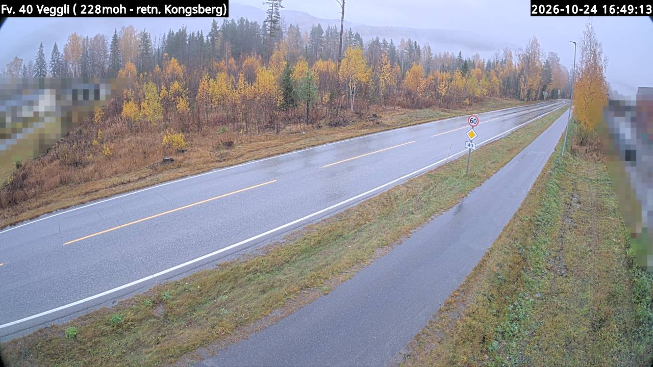
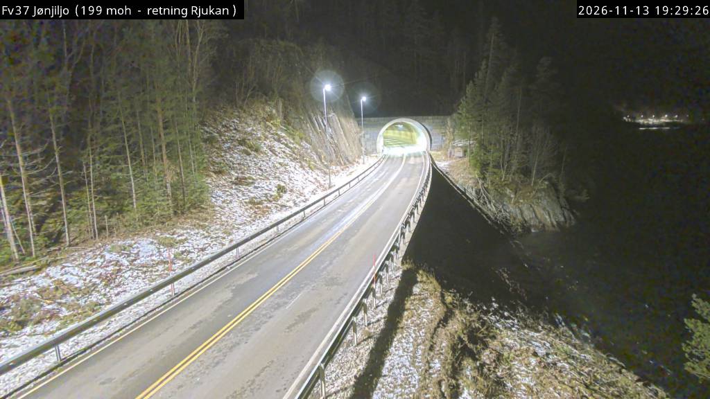
Cámaras web cerca de Skirveggen
Ciudades cerca de Skirveggen
- Kongsberga 63 km