Skogerøytoppen
445 m1460 ft
Montaña · Noruega
Skogerøytoppen (Norwegian) or Ákkelgáisá (Northern Sami) is the highest mountain on the island of Skogerøya in Sør-Varanger Municipality in Finnmark county, Norway. At 445 metres (1,460 ft) tall, it is the fifth-highest point in the municipality.
De Wikipedia, CC BY-SA · Leer el artículo
En la cumbre · pronóstico para las 2:00
3 °CMayormente despejado · viento de 24 km/h del SO
Clima en la cumbre de Skogerøytoppen, 445 m
- 2:003 °CSO 24 km/h–
- 5:002 °CSO 30 km/h–
- 8:003 °CSO 32 km/h–
- 11:003 °CS 33 km/h–
- 14:004 °CSO 22 km/h–
- 17:003 °CS 23 km/h–
- 20:003 °CS 24 km/h–
- 23:003 °CSO 19 km/h–
| Día | Cielo | Máx. / mín. | Lluvia | Viento hasta |
|---|---|---|---|---|
| Hoy | Parcialmente nublado | 4 °C / 2 °C | – | 33 km/h |
| vie, 30 oct | Nublado | 3 °C / 0 °C | – | 24 km/h |
| sáb, 31 oct | Nublado | 2 °C / -0 °C | – | 33 km/h |
| dom, 1 nov | Nublado | 1 °C / -0 °C | – | 25 km/h |
| lun, 2 nov | Parcialmente nublado | -1 °C / -1 °C | – | 30 km/h |
| mar, 3 nov | Parcialmente nublado | -1 °C / -2 °C | – | 31 km/h |
| mié, 4 nov | Nublado | -1 °C / -2 °C | 2,4 mm | 33 km/h |
Pronóstico de MET Norway (CC BY 4.0), actualizado a las 21:30 GMT+3. Horas locales.
Ficha técnica
- Tipo
- Montaña
- Altitud sobre el nivel del mar
- 445 m (1460 ft)
- Prominencia
- 445 m (1460 ft)
- País
- Noruega
- Coordenadas
- 69.876°N 29.859°E
- Fuente
- Wikidata, CC0
Skogerøytoppen
Mountain on the island of Skogerøya in Norway
Skogerøytoppen (Norwegian) or Ákkelgáisá (Northern Sami) is the highest mountain on the island of Skogerøya in Sør-Varanger Municipality in Finnmark county, Norway. At 445 metres (1,460 ft) tall, it is the fifth-highest point in the municipality. Skogerøytoppen lies on the northern part of the island, overlooking the large Varangerfjorden.
De Wikipedia, CC BY-SA · Leer el artículo
Picos cerca de Skogerøytoppen
- GamnesbuktfjelletColina · a 17 kmEn el mapa
- Gáranasčohkka497 m · a 17 kmEn el mapa
- Bugøynesfjell497 m · a 18 kmEn el mapa
- HaukbergetMontaña · a 20 kmEn el mapa
- RavnfjelletMontaña · a 24 kmEn el mapa
- Taraldsfjellet192 m · a 27 kmEn el mapa
- Gussagoahtaláš392 m · a 29 kmEn el mapa
- ReinbogfjelletMontaña · a 29 kmEn el mapa
- SkipsholmenVolcán · a 30 kmEn el mapa
- Loddejárskáidi409 m · a 32 kmEn el mapa
Montañas más altas de Noruega
- Galdhøpiggen2469 mEn el mapa
- Glittertind2464 mEn el mapa
- Store Skagastølstind2406 mEn el mapa
- Surtningssue2368 mEn el mapa
- Store Memurutinden2365 mEn el mapa
- Store Hellstugutinden2346 mEn el mapa
- Store Knutsholstinden2339 mEn el mapa
- Tjørnholstind2323 mEn el mapa
- Bukkehøe2314 mEn el mapa
- Dovrefjell2286 mEn el mapa
Cámaras web cerca de Skogerøytoppen
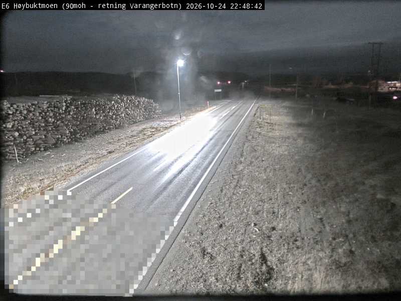
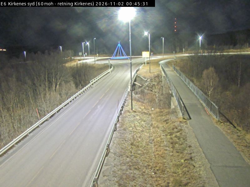
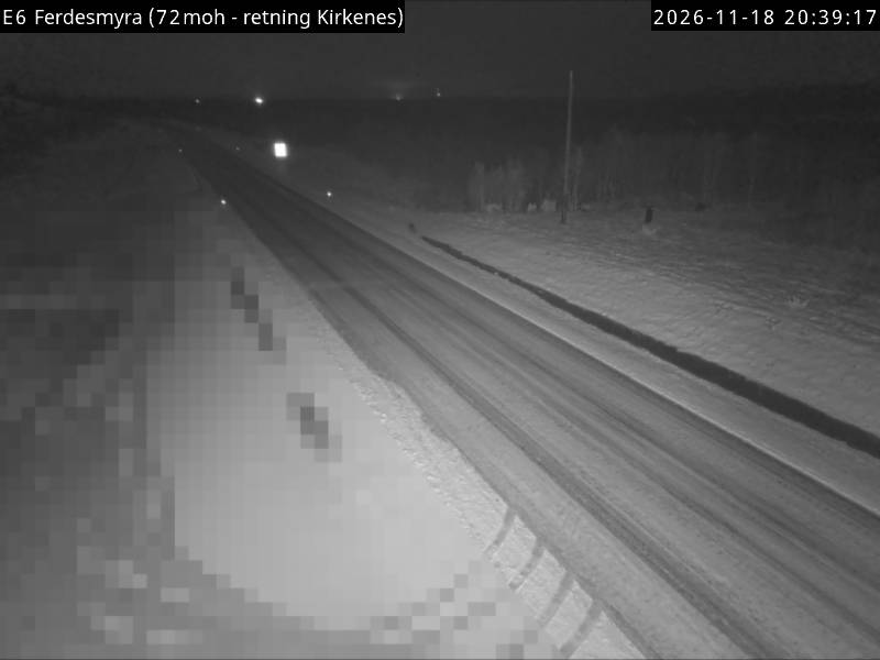
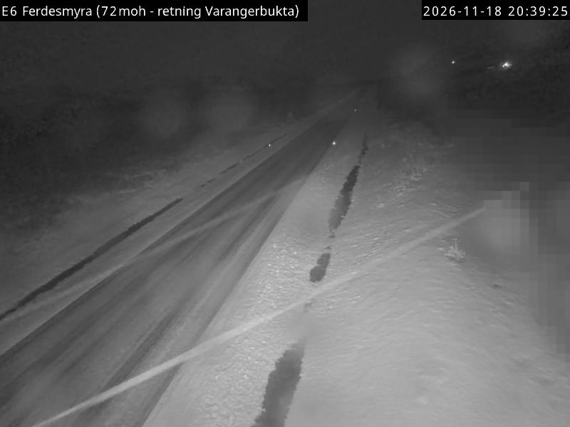
Historia alrededor de Skogerøytoppen
Ciudades cerca de Skogerøytoppen
- Níkela 53 km
- Zapoliarnia 62 km