Sky Pilot Mountain
2031 m6663 ft
Montaña · Britannia Range · Canadá
Sky Pilot Mountain is the highest mountain in the Britannia Range of the Coast Mountains of British Columbia, Canada. It is sometimes considered the highest peak in the North Shore Mountains of the Vancouver area.
De Wikipedia, CC BY-SA · Leer el artículo
El punto más alto de Britannia Range
En la cumbre · pronóstico para las 19:00
-8 °CParcialmente nublado · viento de 4 km/h del E
 Verla en 3D
Clima en la cumbre de Sky Pilot Mountain, 2031 m
- 19:00-8 °CE 4 km/h–
- 22:00-9 °CE 5 km/h0,4 mm
- 1:00-9 °CE 5 km/h0,9 mm
- 4:00-10 °CE 7 km/h1,6 mm
- 7:00-9 °CE 6 km/h2,8 mm
- 10:00-6 °CE 6 km/h1,5 mm
- 13:00-4 °CE 8 km/h1,3 mm
- 16:00-4 °CNE 10 km/h0,1 mm
| Día | Cielo | Máx. / mín. | Lluvia | Viento hasta |
|---|---|---|---|---|
| jue, 29 oct | Nieve fuerte | -4 °C / -10 °C | 9,2 mm | 12 km/h |
| vie, 30 oct | Nieve | -4 °C / -9 °C | 6,7 mm | 12 km/h |
| sáb, 31 oct | Parcialmente nublado | -3 °C / -13 °C | – | 6 km/h |
| dom, 1 nov | Despejado | -3 °C / -16 °C | – | 3 km/h |
| lun, 2 nov | Nublado | -2 °C / -14 °C | – | 4 km/h |
| mar, 3 nov | Parcialmente nublado | -1 °C / -9 °C | – | 5 km/h |
| mié, 4 nov | Despejado | 1 °C / -11 °C | – | 7 km/h |
Pronóstico de MET Norway (CC BY 4.0), actualizado a las 12:19 GMT-7. Horas locales.
Ficha técnica
- Tipo
- Montaña
- Altitud sobre el nivel del mar
- 2031 m (6663 ft)
- Prominencia
- 1236 m (4055 ft)
- Cordillera
- Britannia Range
- País
- Canadá
- Punto más alto de
- Britannia Range
- Coordenadas
- 49.634°N 123.086°W
- Fuente
- Wikidata, CC0
Sky Pilot Mountain (British Columbia)
Mountain in British Columbia, Canada
Sky Pilot Mountain is the highest mountain in the Britannia Range of the Coast Mountains of British Columbia, Canada. It is sometimes considered the highest peak in the North Shore Mountains of the Vancouver area. It forms the basis of the Sky Pilot group, a popular mountaineering area which includes several nearby rocky peaks including Co-Pilot (1,881m), Ledge Mountain (1,964m), Mount Sheer (1,752m), and Ben Lomond.
De Wikipedia, CC BY-SA · Leer el artículo
Picos cerca de Sky Pilot Mountain
- Ben Lomond1654 m · a 4,9 kmEn el mapa
- Stawamus Chief Mountain702 m · a 6,8 kmEn el mapa
- Slhanay665 m · a 7,1 kmEn el mapa
- The Castle510 m · a 10 kmEn el mapa
- Monmouth Creek complex510 m · a 10 kmEn el mapa
- Round Mountain1646 m · a 15 kmEn el mapa
- Mount Hanover1748 m · a 17 kmEn el mapa
- Mount Brunswick1788 m · a 18 kmEn el mapa
- Mount Harvey1652 m · a 20 kmEn el mapa
- Mount Burwell1541 m · a 21 kmEn el mapa
Los más altos de Britannia Range
- Sky Pilot Mountain2031 mEn el mapa
- Mount Brunswick1788 mEn el mapa
Montañas más altas de Canadá
- Monte Logan5959 mEn el mapa
- Monte San Elías18.009 ftEn el mapa
- Monte Lucania5240 mEn el mapa
- King Peak5173 mEn el mapa
- Monte Steele5073 mEn el mapa
- Mount Wood4850 mEn el mapa
- Monte Vancouver15.787 ftEn el mapa
- Mount Slaggard4742 mEn el mapa
- Mount Macaulay4700 mEn el mapa
- Monte Fairweather15.325 ftEn el mapa
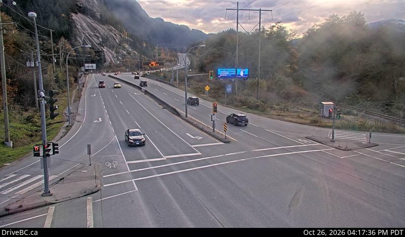
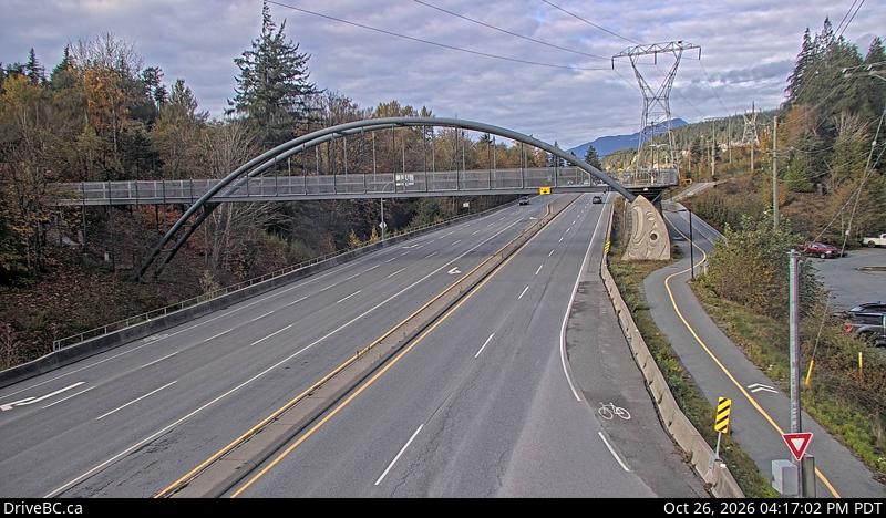
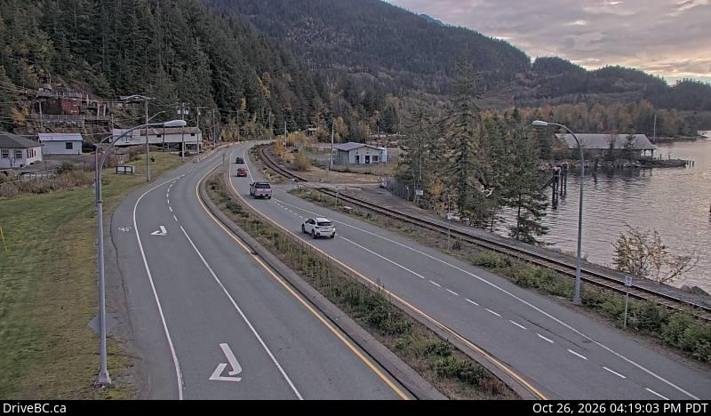
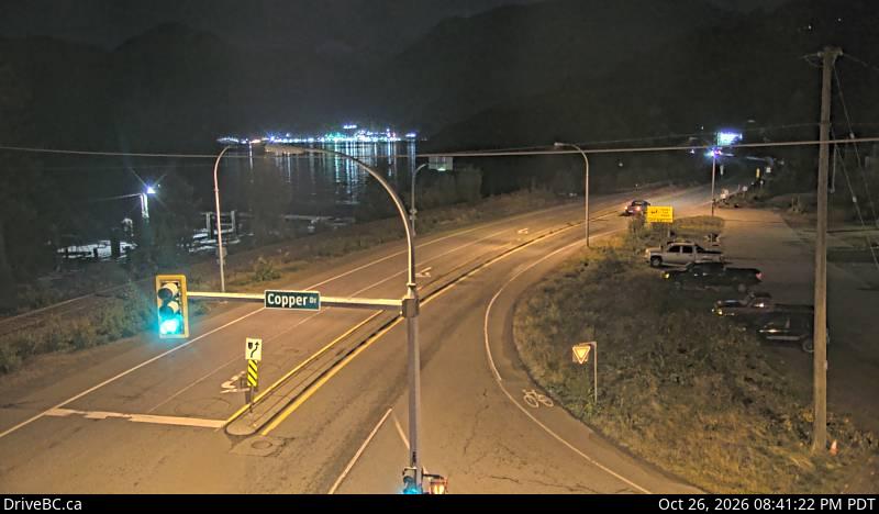
Cámaras web cerca de Sky Pilot Mountain
Historia alrededor de Sky Pilot Mountain
Ciudades cerca de Sky Pilot Mountain
- Squamisha 8,8 km
- West Vancouvera 34 km
- Distrito de Vancouver Nortea 35 km
- Burnabya 42 km
- Vancouvera 43 km
- Riley Parka 44 km