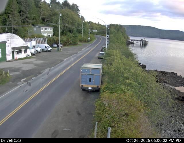
Slatechuck Mountain
Montaña · Canadá
Slatechuck Mountain, known as Kaagan in the Haida language, is a summit on south-central Graham Island in Haida Gwaii, formerly known as the Queen Charlotte Islands of the North Coast of British Columbia, Canada.
De Wikipedia, CC BY-SA · Leer el artículo
En la cumbre · pronóstico para las 2:00
2 °CMayormente despejado · viento de 10 km/h del O
Pronóstico del tiempo en Slatechuck Mountain
- 2:002 °CO 10 km/h–
- 5:003 °CO 12 km/h–
- 8:003 °CO 14 km/h–
- 11:003 °CO 15 km/h–
- 14:002 °CNO 15 km/h–
- 17:003 °CNO 17 km/h–
- 20:004 °CNO 22 km/h–
- 23:005 °CNO 19 km/h–
| Día | Cielo | Máx. / mín. | Lluvia | Viento hasta |
|---|---|---|---|---|
| Hoy | Parcialmente nublado | 5 °C / 1 °C | – | 23 km/h |
| mié, 28 oct | Mayormente despejado | 4 °C / -2 °C | – | 19 km/h |
| jue, 29 oct | Despejado | 4 °C / -3 °C | – | 15 km/h |
| vie, 30 oct | Despejado | 3 °C / -4 °C | – | 9 km/h |
| sáb, 31 oct | Parcialmente nublado | 4 °C / -3 °C | – | 4 km/h |
| dom, 1 nov | Lluvia fuerte | 4 °C / 0 °C | 12,7 mm | 14 km/h |
| lun, 2 nov | Lluvia fuerte | 7 °C / 3 °C | 68,3 mm | 20 km/h |
Pronóstico de MET Norway (CC BY 4.0), actualizado a las 01:17 UTC. Horas locales.
Ficha técnica
- Tipo
- Montaña
- País
- Canadá
- Coordenadas
- 53.262°N 132.238°W
- Fuente
- Wikidata, CC0
Slatechuck Mountain
Slatechuck Mountain, known as Kaagan in the Haida language, is a summit on south-central Graham Island in Haida Gwaii, formerly known as the Queen Charlotte Islands of the North Coast of British Columbia, Canada. It is located about 9 km west of Daajing Giids, on Skidegate Inlet, and just south of Yakoun Lake, the island's largest lake, which is the source of the northward-flowing Yakoun River.
De Wikipedia, CC BY-SA · Leer el artículo
Picos cerca de Slatechuck Mountain
- Mount Moresby1164 m · a 29 kmEn el mapa
- Mount Kermode1091 m · a 42 kmEn el mapa
Montañas más altas de Canadá
- Monte Logan5959 mEn el mapa
- Monte San Elías18.009 ftEn el mapa
- Monte Lucania5240 mEn el mapa
- King Peak5173 mEn el mapa
- Monte Steele5073 mEn el mapa
- Mount Wood4850 mEn el mapa
- Monte Vancouver15.787 ftEn el mapa
- Mount Slaggard4742 mEn el mapa
- Mount Macaulay4700 mEn el mapa
- Monte Fairweather15.325 ftEn el mapa