Sourland Mountain
568 ft173 m
Montaña · Estados Unidos
Sourland Mountain is a 17-mile-long (27 km) ridge in central New Jersey, U.S., extending from the Delaware River at Lambertville to the western end of Hillsborough Township near the community of Neshanic, through Montgomery Township and into Hopewell Township in Mercer County.
De Wikipedia, CC BY-SA · Leer el artículo
En la cumbre · pronóstico para las 3:00
46 °FDespejado · viento de 3 mph del O
 Verla en 3D
Clima en la cumbre de Sourland Mountain, 568 ft
- 3:0046 °FO 3 mph–
- 6:0044 °FO 4 mph–
- 9:0051 °FSO 4 mph–
- 12:0063 °FSO 8 mph–
- 15:0068 °FSO 9 mph–
- 18:0062 °FS 8 mph–
- 21:0057 °FSO 9 mph–
- 0:0055 °FSO 8 mph–
| Día | Cielo | Máx. / mín. | Lluvia | Viento hasta |
|---|---|---|---|---|
| Hoy | Parcialmente nublado | 68 °F / 44 °F | – | 10 mph |
| vie, 30 oct | Despejado | 69 °F / 48 °F | – | 12 mph |
| sáb, 31 oct | Parcialmente nublado | 58 °F / 44 °F | – | 7 mph |
| dom, 1 nov | Despejado | 64 °F / 44 °F | – | 7 mph |
| lun, 2 nov | Despejado | 68 °F / 44 °F | – | 5 mph |
| mar, 3 nov | Nublado | 71 °F / 46 °F | – | 6 mph |
| mié, 4 nov | Despejado | 71 °F / 54 °F | – | 11 mph |
Pronóstico de MET Norway (CC BY 4.0), actualizado a las 15:19 GMT-4. Horas locales.
Ficha técnica
- Tipo
- Montaña
- Altitud sobre el nivel del mar
- 568 ft (173 m)
- País
- Estados Unidos
- Coordenadas
- 40.479°N 74.711°W
- Fuente
- Wikidata, CC0
Sourland Mountain
Geological formation in New Jersey, US
Sourland Mountain is a 17-mile-long (27 km) ridge in central New Jersey, U.S., extending from the Delaware River at Lambertville to the western end of Hillsborough Township near the community of Neshanic, through Montgomery Township and into Hopewell Township in Mercer County. It comprises the largest contiguous forest in Central Jersey, nearly 90 square miles (233 km2) in area.
De Wikipedia, CC BY-SA · Leer el artículo
Picos cerca de Sourland Mountain
- Cushetunk Mountain834 ft · a 16 kmEn el mapa
- Buckingham Mountain520 ft · a 33 kmEn el mapa
- Pohatcong Mountain866 ft · a 38 kmEn el mapa
- Baldpate Mountain1165 ft · a 41 kmEn el mapa
- County House Mountain1142 ft · a 42 kmEn el mapa
- Oxford Mountain955 ft · a 42 kmEn el mapa
- Scotts Mountain1086 ft · a 43 kmEn el mapa
- Mount No More1150 ft · a 45 kmEn el mapa
- Watnong Mountain965 ft · a 45 kmEn el mapa
- Mount Mohepinoke1115 ft · a 46 kmEn el mapa
Montañas más altas de Estados Unidos
- Denali20.308 ftEn el mapa
- Monte San Elías18.009 ftEn el mapa
- Monte Foraker17.402 ftEn el mapa
- Monte Bona16.535 ftEn el mapa
- Monte Blackburn16.390 ftEn el mapa
- Monte Sanford16.237 ftEn el mapa
- Monte Vancouver15.787 ftEn el mapa
- Monte Churchill15.636 ftEn el mapa
- Monte Fairweather15.325 ftEn el mapa
- Mount Hubbard14.951 ftEn el mapa
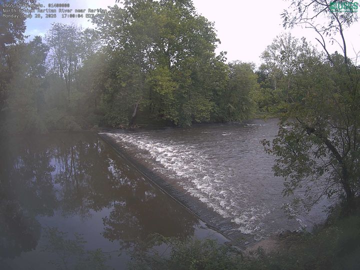
Cámaras web cerca de Sourland Mountain


Historia alrededor de Sourland Mountain
Ciudades cerca de Sourland Mountain
- Hillsborougha 4,3 km
- Raritana 12 km
- Flemingtona 13 km
- Bridgewatera 15 km
- Princetona 15 km
- Bound Brooka 18 km