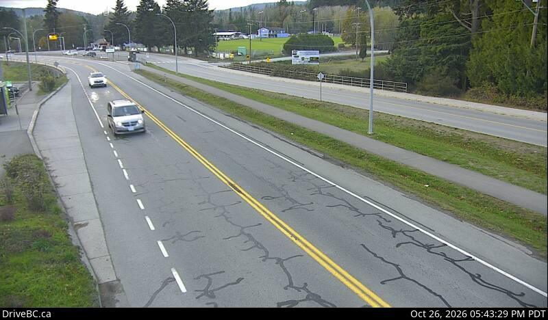
Striped Peak
1166 ft355 m
Montaña · Montañas Olímpicas · Estados Unidos
Striped Peak is a mountain located approximately 12 miles (19 km) west of Port Angeles, Washington. It is located directly off the Strait of Juan de Fuca and rises to 1,166 feet (355 m). The mountain used to be part of Camp Hayden; there are still accessible bunkers located on the mountain.
De Wikipedia, CC BY-SA · Leer el artículo
En la cumbre · pronóstico para las 22:00
45 °FNublado · viento de 3 mph del SO
 Verla en 3D
Clima en la cumbre de Striped Peak, 1166 ft
- 22:0045 °FSO 3 mph–
- 1:0044 °FSO 2 mph–
- 4:0042 °FS 4 mph–
- 7:0040 °FS 3 mph–
- 10:0046 °FO 3 mph0,02 pulg.
- 13:0049 °FNO 11 mph0,04 pulg.
- 16:0047 °FSO 18 mph0,01 pulg.
- 19:0044 °FSO 17 mph0,22 pulg.
| Día | Cielo | Máx. / mín. | Lluvia | Viento hasta |
|---|---|---|---|---|
| mar, 27 oct | Lluvia | 49 °F / 40 °F | 0,3 pulg. | 18 mph |
| mié, 28 oct | Lluvia débil | 47 °F / 37 °F | 0,13 pulg. | 15 mph |
| jue, 29 oct | Lluvia fuerte | 40 °F / 35 °F | 0,7 pulg. | 9 mph |
| vie, 30 oct | Lluvia | 41 °F / 33 °F | 0,1 pulg. | 3 mph |
| sáb, 31 oct | Mayormente despejado | 42 °F / 32 °F | 0 pulg. | 3 mph |
| dom, 1 nov | Parcialmente nublado | 44 °F / 31 °F | – | 3 mph |
| lun, 2 nov | Nublado | 47 °F / 38 °F | – | 5 mph |
Pronóstico de MET Norway (CC BY 4.0), actualizado a las 18:17 GMT-7. Horas locales.
Ficha técnica
- Tipo
- Montaña
- Altitud sobre el nivel del mar
- 1166 ft (355 m)
- Prominencia
- 966 ft (294 m)
- Cordillera
- Montañas Olímpicas
- País
- Estados Unidos
- Coordenadas
- 48.157°N 123.685°W
- Fuente
- Wikidata, CC0
Striped Peak
Mountain in Washington (state), United States
Striped Peak is a mountain located approximately 12 miles (19 km) west of Port Angeles, Washington. It is located directly off the Strait of Juan de Fuca and rises to 1,166 feet (355 m). The mountain used to be part of Camp Hayden; there are still accessible bunkers located on the mountain. To the east is located Freshwater Bay and to the west Crescent Bay.
De Wikipedia, CC BY-SA · Leer el artículo
Picos cerca de Striped Peak
- Aurora Peak4751 ft · a 18 kmEn el mapa
- Boulder Peak5672 ft · a 21 kmEn el mapa
- Mount Matheson958 ft · a 23 kmEn el mapa
- Mount Appleton6017 ft · a 23 kmEn el mapa
- Mount Angeles6454 ft · a 24 kmEn el mapa
- Mount Fitzhenry6043 ft · a 26 kmEn el mapa
- Rocky Peak6218 ft · a 26 kmEn el mapa
- Cat Peak5915 ft · a 29 kmEn el mapa
- Bogachiel Peak5478 ft · a 29 kmEn el mapa
- Mount Fairchild6916 ft · a 29 kmEn el mapa
Los más altos de Montañas Olímpicas
- Monte Olympus7979 ftEn el mapa
- Mount Deception7788 ftEn el mapa
- Monte Constance7756 ftEn el mapa
- Gray Wolf Ridge7218 ftEn el mapa
- Mount Cameron7192 ftEn el mapa
- Mount Mathias7146 ftEn el mapa
- Mount Carrie6995 ftEn el mapa
- Buckhorn Mountain6988 ftEn el mapa
- Striped Peak1166 ftEn el mapa
Montañas más altas de Estados Unidos
- Denali20.308 ftEn el mapa
- Monte San Elías18.009 ftEn el mapa
- Monte Foraker17.402 ftEn el mapa
- Monte Bona16.535 ftEn el mapa
- Monte Blackburn16.390 ftEn el mapa
- Monte Sanford16.237 ftEn el mapa
- Monte Vancouver15.787 ftEn el mapa
- Monte Churchill15.636 ftEn el mapa
- Monte Fairweather15.325 ftEn el mapa
- Mount Hubbard14.951 ftEn el mapa