Montañas de Islandia
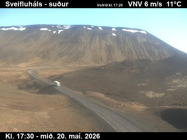
Sveifluháls
395 m1296 ft
Montaña · Islandia
Sveifluháls is a mafic hyaloclastite ridge of 397 m height in the southwest of Iceland in Gullbringusýsla. It is part of Krýsuvík volcanic system and of the protected area Reykjanes Fólkvangur.
De Wikipedia, CC BY-SA · Leer el artículo
En la cumbre · pronóstico para las 18:00
2 °CNublado · viento de 18 km/h del E
 Verla en 3D
Clima en la cumbre de Sveifluháls, 395 m
- 18:002 °CE 18 km/h–
- 21:001 °CE 35 km/h–
- 0:003 °CE 44 km/h1,5 mm
- 3:003 °CE 53 km/h3,1 mm
- 6:005 °CE 60 km/h5,9 mm
- 9:006 °CS 33 km/h–
- 12:006 °CS 31 km/h–
- 15:006 °CS 31 km/h0,7 mm
| Día | Cielo | Máx. / mín. | Lluvia | Viento hasta |
|---|---|---|---|---|
| jue, 29 oct | Mayormente despejado | 7 °C / 3 °C | 14,8 mm | 64 km/h |
| vie, 30 oct | Lluvia | 4 °C / 3 °C | 13,4 mm | 40 km/h |
| sáb, 31 oct | Lluvia | 3 °C / 2 °C | 7,1 mm | 40 km/h |
| dom, 1 nov | Lluvia | 7 °C / 3 °C | 11,7 mm | 27 km/h |
| lun, 2 nov | Lluvia | 7 °C / 6 °C | 16,5 mm | 41 km/h |
| mar, 3 nov | Nublado | 7 °C / 4 °C | 6,8 mm | 35 km/h |
| mié, 4 nov | Lluvia | 5 °C / 2 °C | 8,2 mm | 34 km/h |
Pronóstico de MET Norway (CC BY 4.0), actualizado a las 13:17 GMT. Horas locales.
Ficha técnica
- Tipo
- Montaña
- Altitud sobre el nivel del mar
- 395 m (1296 ft)
- País
- Islandia
- Coordenadas
- 63.937°N 22.003°W
- Fuente
- Wikidata, CC0
Picos cerca de Sveifluháls
- Trölladyngja378 m · a 4,7 kmEn el mapa
- Krýsuvík360 m · a 4,8 kmEn el mapa
- Keilir378 m · a 8,3 kmEn el mapa
- Brennisteinsfjöll621 m · a 8,6 kmEn el mapa
- Litli-Hrútur312 m · a 10 kmEn el mapa
- Helgafell340 m · a 11 kmEn el mapa
- Búrfell180 m · a 14 kmEn el mapa
- Fagradalsfjall385 m · a 14 kmEn el mapa
- Þorbjörn243 m · a 23 kmEn el mapa
- Svartsengi243 m · a 23 kmEn el mapa
Montañas más altas de Islandia
- Öræfajökull2110 mEn el mapa
- Tierras Altas de Islandia2110 mEn el mapa
- Hvannadalshnjúkur2110 mEn el mapa
- Bárðarbunga2010 mEn el mapa
- Kverkfjöll1933 mEn el mapa
- Hrútsfjallstindar1875 mEn el mapa
- Snæfell1833 mEn el mapa
- Esjufjöll1760 mEn el mapa
- Grímsvötn1725 mEn el mapa
- Herðubreið1682 mEn el mapa
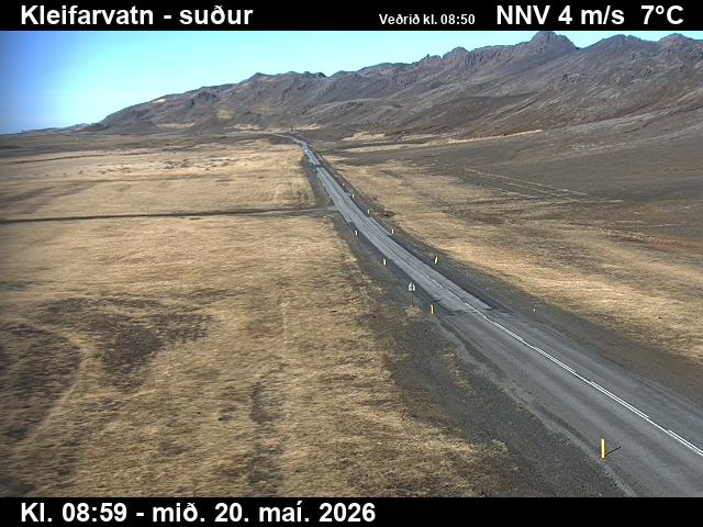
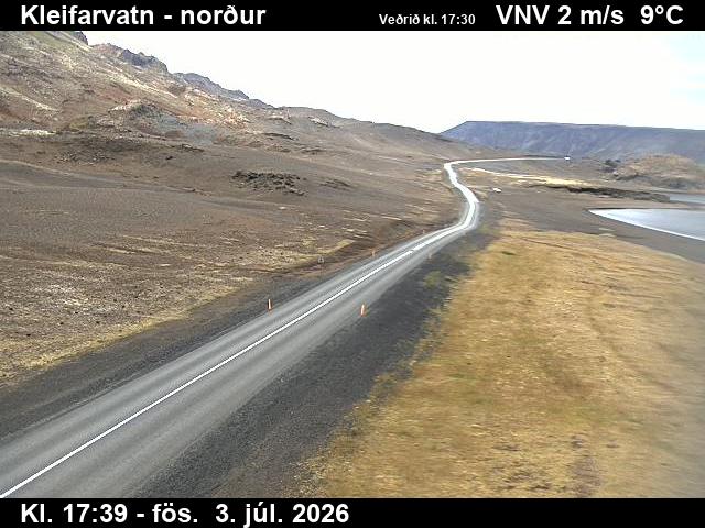
Cámaras web cerca de Sveifluháls
Ciudades cerca de Sveifluháls
- Hafnarfjörðura 15 km
- Kópavogura 20 km
- Reikiavika 23 km
- Reykjanesbæra 28 km
- Keflavíka 28 km