Three Sisters
1886 ft575 m
Montaña · Estados Unidos
The Three Sisters is a small mountain range, or a mountain with three summits, within the northeastern Temescal Mountains, in Woodcrest within unincorporated Riverside County, California. the highest peak is nicknamed "Flat Top" because of the flattened top it has.
De Wikipedia, CC BY-SA · Leer el artículo
En la cumbre · pronóstico para las 10:00
62 °FParcialmente nublado · viento de 2 mph del E
Clima en la cumbre de Three Sisters, 1886 ft
- 10:0062 °FE 2 mph–
- 13:0070 °FN 4 mph–
- 16:0071 °FNO 5 mph–
- 19:0064 °FNO 6 mph–
- 22:0059 °FN 4 mph–
- 1:0056 °FE 2 mph–
- 4:0054 °FSE 2 mph–
- 7:0053 °FSE 2 mph–
| Día | Cielo | Máx. / mín. | Lluvia | Viento hasta |
|---|---|---|---|---|
| Hoy | Parcialmente nublado | 72 °F / 58 °F | – | 6 mph |
| jue, 29 oct | Mayormente despejado | 73 °F / 53 °F | – | 9 mph |
| vie, 30 oct | Nublado | 66 °F / 57 °F | 0,07 pulg. | 6 mph |
| sáb, 31 oct | Nublado | 65 °F / 55 °F | 0 pulg. | 6 mph |
| dom, 1 nov | Mayormente despejado | 69 °F / 57 °F | 0,01 pulg. | 6 mph |
| lun, 2 nov | Despejado | 74 °F / 52 °F | – | 13 mph |
| mar, 3 nov | Despejado | 79 °F / 54 °F | – | 6 mph |
Pronóstico de MET Norway (CC BY 4.0), actualizado a las 01:19 GMT-7. Horas locales.
Ficha técnica
- Tipo
- Montaña
- Altitud sobre el nivel del mar
- 1886 ft (575 m)
- País
- Estados Unidos
- Coordenadas
- 33.870°N 117.359°W
- Fuente
- Wikidata, CC0
Three Sisters (Riverside County)
Mountain range in Riverside county, California
The Three Sisters is a small mountain range, or a mountain with three summits, within the northeastern Temescal Mountains, in Woodcrest within unincorporated Riverside County, California. the highest peak is nicknamed "Flat Top" because of the flattened top it has. There are many local rumors as to why the top of the hill was flattened. The locals walk, ride horses and ride motorcycles on flattop daily.
De Wikipedia, CC BY-SA · Leer el artículo
Picos cerca de Three Sisters
- Victoria Hill1005 ft · a 10 kmEn el mapa
- Arlington Mountain1857 ft · a 10 kmEn el mapa
- Montaña de Box Springs3081 ft · a 13 kmEn el mapa
- Estelle Mountain2767 ft · a 13 kmEn el mapa
- Mount Rubidoux1329 ft · a 13 kmEn el mapa
- Sugarloaf Mountain1947 ft · a 14 kmEn el mapa
- Mount Jurupa2224 ft · a 20 kmEn el mapa
- Beacon Hill1019 ft · a 20 kmEn el mapa
- Trabuco Peak4607 ft · a 21 kmEn el mapa
- Slover Mountain1184 ft · a 22 kmEn el mapa
Montañas más altas de Estados Unidos
- Denali20.308 ftEn el mapa
- Monte San Elías18.009 ftEn el mapa
- Monte Foraker17.402 ftEn el mapa
- Monte Bona16.535 ftEn el mapa
- Monte Blackburn16.390 ftEn el mapa
- Monte Sanford16.237 ftEn el mapa
- Monte Vancouver15.787 ftEn el mapa
- Monte Churchill15.636 ftEn el mapa
- Monte Fairweather15.325 ftEn el mapa
- Mount Hubbard14.951 ftEn el mapa
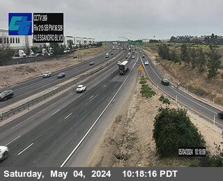
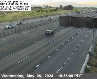
Cámaras web cerca de Three Sisters
Historia alrededor de Three Sisters
- Norco shootout1980
- Bain Fire2026
- Highway Fire2015
- murder of Jeff Hall2011
- murder of Cheri Jo Bates1966
Ciudades cerca de Three Sisters
- Mead Valleya 7,1 km
- Riversidea 9,9 km
- Moreno Valleya 14 km
- Rubidouxa 15 km
- Perrisa 15 km
- Grand Terracea 18 km