Three Way Peak
6796 ft2071 m
Montaña · Cordillera de las Cascadas · Estados Unidos
Three Way Peak is a 6,796 feet (2,071 m) summit located on the eastern border of Mount Rainier National Park. It is also on the shared border of Pierce County and Yakima County in Washington state. Three Way Peak is situated 0.42 mi (0.68 km) north of Cupalo Rock on the crest of the Cascade Range.
De Wikipedia, CC BY-SA · Leer el artículo
En la cumbre · pronóstico para las 0:00
26 °FNieve fuerte · viento de 12 mph del S
 Verla en 3D
Clima en la cumbre de Three Way Peak, 6796 ft
- 0:0026 °FS 12 mph0,3 pulg.
- 3:0025 °FS 8 mph0,31 pulg.
- 6:0023 °FSE 8 mph0,12 pulg.
- 9:0025 °FS 8 mph0,05 pulg.
- 12:0028 °FSO 11 mph0,03 pulg.
- 15:0028 °FSO 10 mph0,03 pulg.
- 18:0022 °FS 6 mph0 pulg.
- 21:0021 °FS 5 mph–
| Día | Cielo | Máx. / mín. | Lluvia | Viento hasta |
|---|---|---|---|---|
| mié, 28 oct | Nieve débil | 29 °F / 20 °F | 0,85 pulg. | 12 mph |
| jue, 29 oct | Parcialmente nublado | 30 °F / 12 °F | 0,04 pulg. | 9 mph |
| vie, 30 oct | Nieve débil | 27 °F / 13 °F | 0,23 pulg. | 7 mph |
| sáb, 31 oct | Despejado | 29 °F / 9 °F | – | 4 mph |
| dom, 1 nov | Despejado | 29 °F / 12 °F | – | 2 mph |
| lun, 2 nov | Parcialmente nublado | 42 °F / 27 °F | – | 3 mph |
| mar, 3 nov | Despejado | 42 °F / 32 °F | – | 0 mph |
Pronóstico de MET Norway (CC BY 4.0), actualizado a las 18:17 GMT-7. Horas locales.
Ficha técnica
- Tipo
- Montaña
- Altitud sobre el nivel del mar
- 6796 ft (2071 m)
- Cordillera
- Cordillera de las Cascadas
- País
- Estados Unidos
- Coordenadas
- 46.909°N 121.496°W
- Fuente
- Wikidata, CC0
Three Way Peak
Mountain in Washington (state), United States
Three Way Peak is a 6,796 feet (2,071 m) summit located on the eastern border of Mount Rainier National Park. It is also on the shared border of Pierce County and Yakima County in Washington state. Three Way Peak is situated 0.42 mi (0.68 km) north of Cupalo Rock on the crest of the Cascade Range. Its nearest higher peak is Crystal Mountain, 0.56 mi (0.90 km) to the northwest.
De Wikipedia, CC BY-SA · Leer el artículo
Picos cerca de Three Way Peak
- Cupalo Rock6593 ft · a 1 kmEn el mapa
- Chinook Peak6904 ft · a 1,7 kmEn el mapa
- Deadwood Peak6280 ft · a 3,5 kmEn el mapa
- Yakima Peak6079 ft · a 4,4 kmEn el mapa
- Naches Peak6452 ft · a 4,7 kmEn el mapa
- Tahtlum Peak6567 ft · a 5,2 kmEn el mapa
- Seymour Peak6337 ft · a 6,9 kmEn el mapa
- Dewey Peak6710 ft · a 7,5 kmEn el mapa
- Governors Ridge6600 ft · a 7,6 kmEn el mapa
- Barrier Peak6521 ft · a 8,2 kmEn el mapa
Los más altos de Cordillera de las Cascadas
- Monte Rainier14.400 ftEn el mapa
- Monte Adams12.280 ftEn el mapa
- Monte McLoughlin9495 ftEn el mapa
- Monte Thielsen9183 ftEn el mapa
- Broken Top9177 ftEn el mapa
- Black Peak8976 ftEn el mapa
- Dome Peak8921 ftEn el mapa
- Silver Star Mountain8875 ftEn el mapa
- Three Way Peak6796 ftEn el mapa
Montañas más altas de Estados Unidos
- Denali20.308 ftEn el mapa
- Monte San Elías18.009 ftEn el mapa
- Monte Foraker17.402 ftEn el mapa
- Monte Bona16.535 ftEn el mapa
- Monte Blackburn16.390 ftEn el mapa
- Monte Sanford16.237 ftEn el mapa
- Monte Vancouver15.787 ftEn el mapa
- Monte Churchill15.636 ftEn el mapa
- Monte Fairweather15.325 ftEn el mapa
- Mount Hubbard14.951 ftEn el mapa
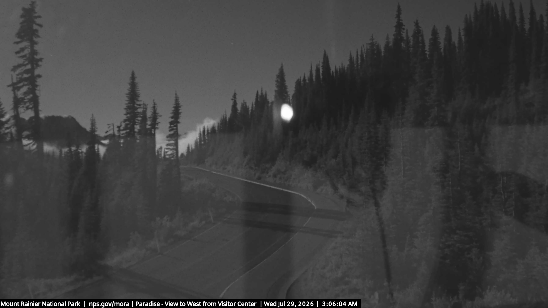
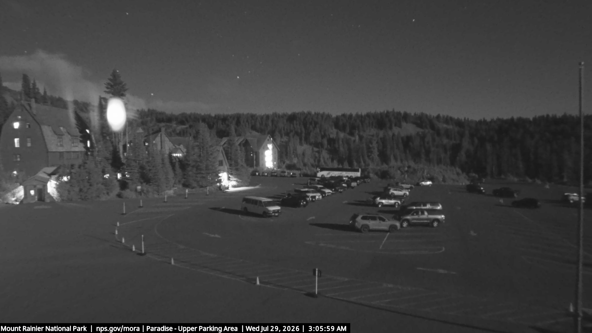
Cámaras web cerca de Three Way Peak
Ciudades cerca de Three Way Peak
- Roslyna 48 km
- Enumclawa 50 km
- Cle Eluma 52 km
- Ortinga 58 km
- Black Diamonda 60 km
- Bonney Lakea 60 km