Montagnes de Suisse
Belpberg
892 m2 927 ft
Montagne · Suisse
Belpberg is an isolated ridge in the Aaretal between Bern and Thun in Switzerland. The ridge has a width of 2 to 4 km and a length of about 11 km, reaches its highest point on the Chutzen at 892.5 m above sea level and rises up to 370 meters from the surrounding valley plains.
Source : Wikipedia, CC BY-SA · Lire l’article
Au sommet · prévision pour 6:00
5 °CDégagé · vent 3 km/h du S
 Voir en 3D
Météo au sommet : Belpberg, 892 m
- 6:005 °CS 3 km/h–
- 9:008 °CSO 2 km/h–
- 12:0013 °CNO 4 km/h–
- 15:0014 °CNO 5 km/h–
- 18:0010 °CSE 5 km/h–
- 21:008 °CS 8 km/h–
- 0:007 °CS 8 km/h–
- 3:008 °CS 8 km/h–
| Jour | Ciel | Max. / min. | Pluie | Vent jusqu’à |
|---|---|---|---|---|
| Aujourd’hui | Plutôt dégagé | 14 °C / 5 °C | – | 8 km/h |
| mer. 28 oct. | Nuageux | 10 °C / 6 °C | 2,3 mm | 14 km/h |
| jeu. 29 oct. | Partiellement nuageux | 8 °C / 2 °C | – | 18 km/h |
| ven. 30 oct. | Partiellement nuageux | 7 °C / 1 °C | – | 7 km/h |
| sam. 31 oct. | Partiellement nuageux | 7 °C / 0 °C | – | 5 km/h |
| dim. 1 nov. | Dégagé | 10 °C / 1 °C | – | 4 km/h |
| lun. 2 nov. | Partiellement nuageux | 7 °C / -0 °C | – | 16 km/h |
Prévisions de MET Norway (CC BY 4.0), mises à jour à 02:17 UTC+1. Heures locales.
Fiche technique
- Type
- Montagne
- Altitude
- 892 m (2 927 ft)
- Pays
- Suisse
- Coordonnées
- 46.861°N 7.526°E
- Source
- Wikidata, CC0
Sommets près de Belpberg
- Niesen2 362 m · à 26 kmSur la carte
- Kaiseregg2 185 m · à 28 kmSur la carte
- Napf1 408 m · à 35 kmSur la carte
- Brienzer Rothorn2 349 m · à 40 kmSur la carte
- Albristhorn2 763 m · à 40 kmSur la carte
- Schilthorn2 970 m · à 41 kmSur la carte
- Männlichen2 343 m · à 41 kmSur la carte
- Faulhorn2 681 m · à 42 kmSur la carte
- Lauberhorn2 472 m · à 44 kmSur la carte
- Gspaltenhorn3 436 m · à 45 kmSur la carte
Plus hautes montagnes : Suisse
- pointe Dufour4 634 mSur la carte
- Dom4 546 mSur la carte
- Liskamm4 532 mSur la carte
- Weisshorn4 505 mSur la carte
- Cervin4 478 mSur la carte
- dent Blanche4 357 mSur la carte
- Grand Combin4 309 mSur la carte
- Finsteraarhorn4 274 mSur la carte
- Zinalrothorn4 221 mSur la carte
- Alphubel4 206 mSur la carte
Webcams près de Belpberg
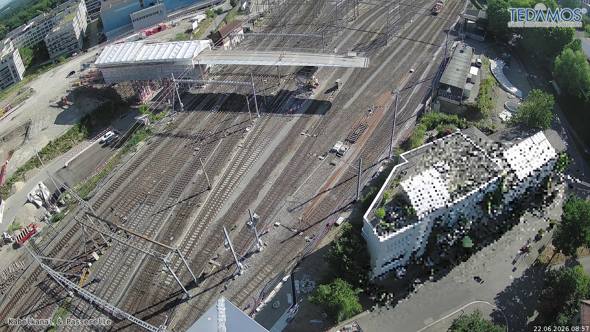 For "Leistungssteigerung Bern West": https://company.sbb.ch/de/bahnentwicklung/projekte/deutschschweiz/region-bern/bahnknoten-bern/bern-west/à 13 km du sommet
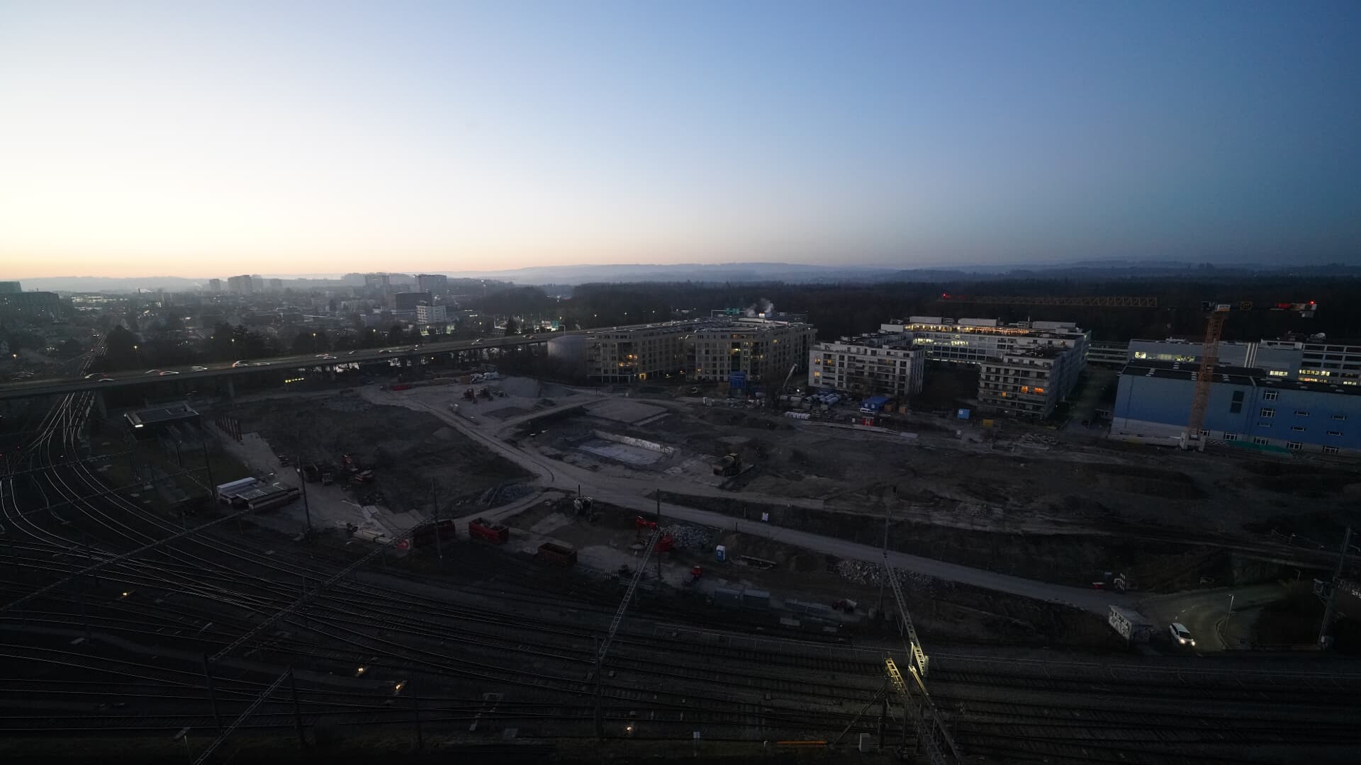 For BFH construction site: https://www.campus-bern.bvd.be.ch/de/start/bauphase.htmlà 13 km du sommet
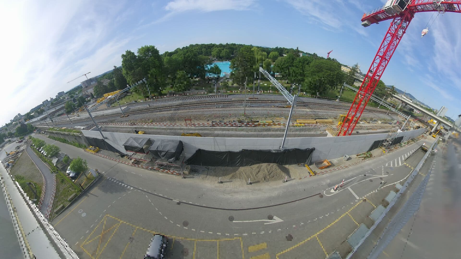 For Haltestelle Bern Europaplatz Nord: https://company.sbb.ch/de/bahnentwicklung/projekte/deutschschweiz/region-bern/bahnknoten-bern/bern-west/projekt/bahnhof-europaplatz-nord.htmlà 13 km du sommet
 Webcamà 13 km du sommet