Montagnes de Singapour
Bukit Chandu
Colline · Singapour
Bukit Chandu is a hill located within Kent Ridge Park in Singapore. It was the site of the Battle of Bukit Chandu, a significant engagement that took place on 14 February 1942 during the Battle of Singapore in World War II.
Source : Wikipedia, CC BY-SA · Lire l’article
Au sommet · prévision pour 6:00
24 °CPluie · vent 14 km/h du N
 Voir en 3D
Prévisions météo à Bukit Chandu
- 6:0024 °CN 14 km/h0,4 mm
- 9:0027 °CN 9 km/h–
- 12:0032 °CE 6 km/h2,6 mm
- 15:0028 °CE 8 km/h1 mm
- 18:0029 °CNE 5 km/h0,8 mm
- 21:0026 °CE 8 km/h0,9 mm
- 0:0025 °CE 8 km/h0,6 mm
- 3:0025 °CN 5 km/h0,5 mm
| Jour | Ciel | Max. / min. | Pluie | Vent jusqu’à |
|---|---|---|---|---|
| Aujourd’hui | Pluie forte | 32 °C / 24 °C | 5,7 mm | 14 km/h |
| jeu. 29 oct. | Pluie forte | 30 °C / 24 °C | 24,9 mm | 16 km/h |
| ven. 30 oct. | Partiellement nuageux | 30 °C / 24 °C | 3,3 mm | 11 km/h |
| sam. 31 oct. | Pluie | 30 °C / 25 °C | 2,1 mm | 9 km/h |
| dim. 1 nov. | Pluie faible | 30 °C / 26 °C | 3,2 mm | 6 km/h |
| lun. 2 nov. | Nuageux | 27 °C / 26 °C | 8,3 mm | 11 km/h |
| mar. 3 nov. | Pluie | 29 °C / 25 °C | 6,8 mm | 8 km/h |
Prévisions de MET Norway (CC BY 4.0), mises à jour à 03:17 UTC+8. Heures locales.
Fiche technique
- Type
- Colline
- Pays
- Singapour
- Coordonnées
- 1.279°N 103.792°E
- Source
- Wikidata, CC0
Sommets près de Bukit Chandu
- Mont Faber105 m · à 3,3 kmSur la carte
- Bukit Timah164 m · à 8,6 kmSur la carte
- Jurong Hill60 m · à 10 kmSur la carte
- Mount Pulai654 m · à 45 kmSur la carte
- Pearl's HillColline · à 5,3 kmSur la carte
- Duxton HillMontagne · à 5,7 kmSur la carte
- Mount PalmerColline · à 6,2 kmSur la carte
Plus hautes montagnes : Singapour
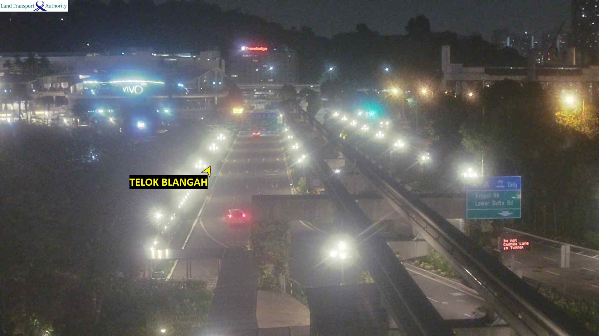
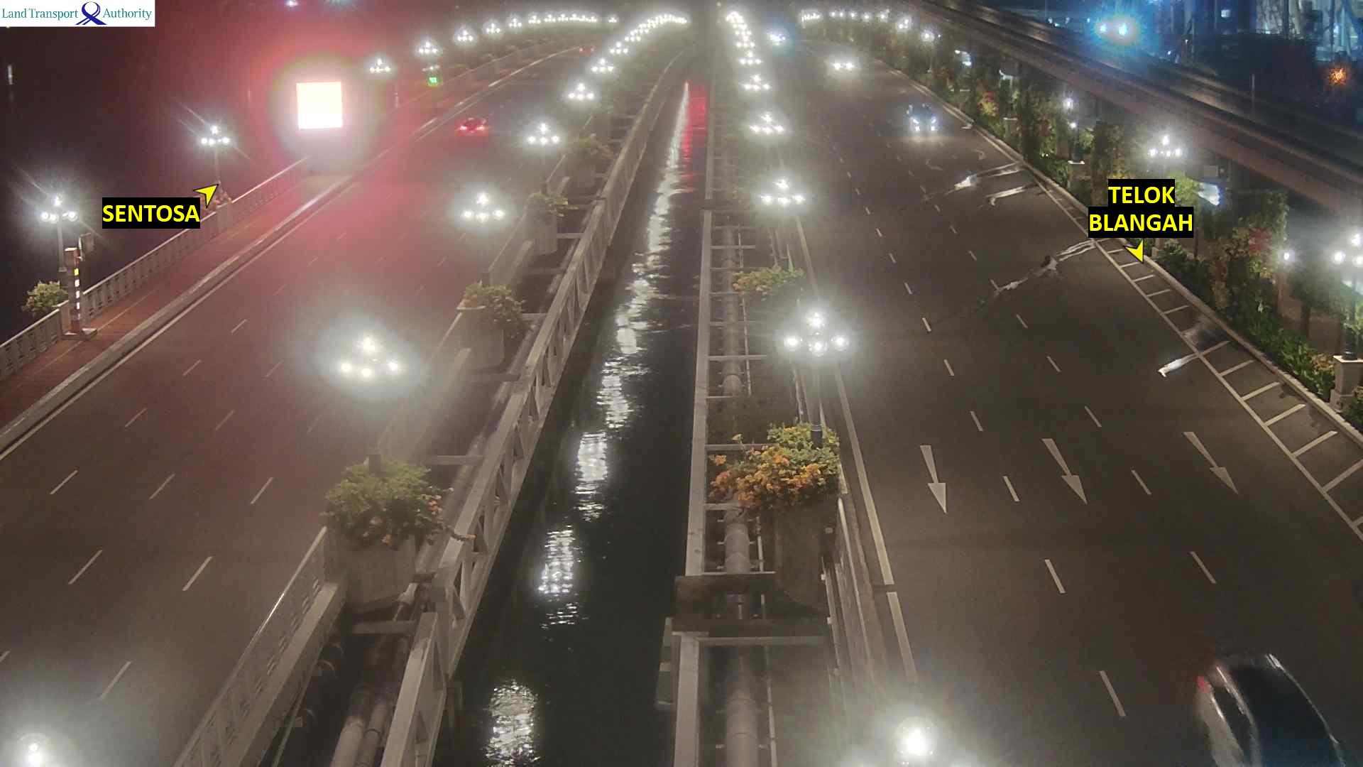
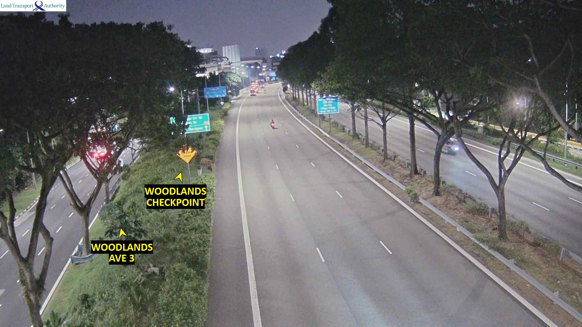
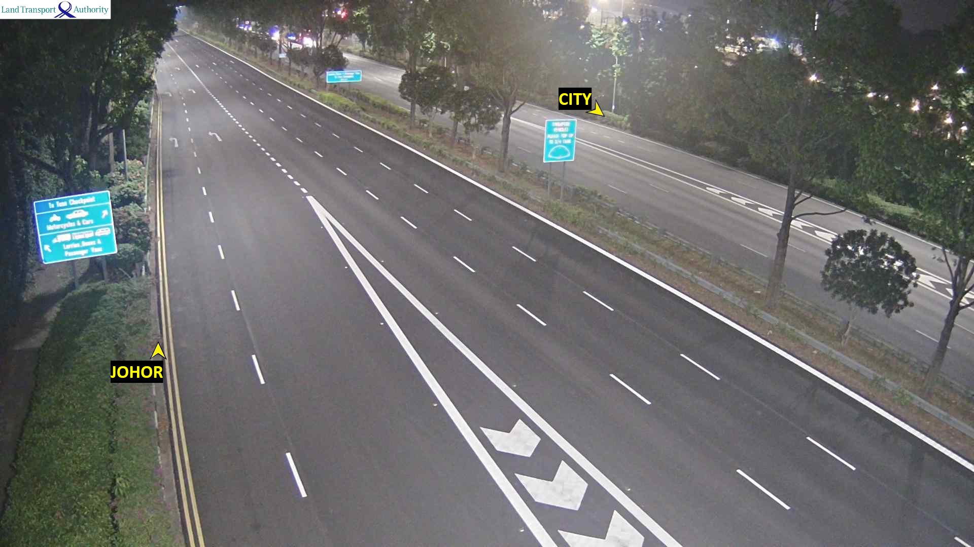
Webcams près de Bukit Chandu
Histoire autour de Bukit Chandu
- The 2018 North Korea–United States summit is held in Singapore2018
- Battle of Singapore1942
- CCP general secretary Xi Jinping and ROC president Ma Ying-jeou formally meet for the first time2015
- The 2010 Summer Youth Olympics, the first of the Youth Olympic Games2010
- 25 January and 7 February - Adrian Lim, a self-professed medium, Catherine Tan Mui Choo and Hoe Kah Hong murders two children as "sacrifices" in a case known…1981
- 2026 Chinatown car accident2026
- 2024 East–West Line disruption2024
- 2020 dengue outbreak in Singapore2020
Villes près de Bukit Chandu
- Queenstown Estateà 2,1 km
- Bukit Timahà 5,4 km
- Singaporeà 6,6 km
- Novenaà 7,2 km
- Anak Bukità 7,2 km
- Jurong Eastà 8 km