Montagnes de États-Unis
Carpenter Hill
831 ft253 m
Montagne · États-Unis
Carpenter Hill is a hill located in the eastern Sacramento Valley-Sierra Nevada foothills region of California. The hill, located within the city limits of Folsom, near the Sacramento / El Dorado county line and north of U.S. Route 50, rises to an elevation of 831 feet (253 m).
Source : Wikipedia, CC BY-SA · Lire l’article
Au sommet · prévision pour 19:00
62 °FDégagé · vent 4 mph du SE
 Voir en 3D
Météo au sommet : Carpenter Hill, 831 ft
- 19:0062 °FSE 4 mph–
- 22:0057 °FSE 6 mph–
- 1:0053 °FSE 6 mph–
- 4:0051 °FSE 7 mph–
- 7:0049 °FSE 6 mph–
- 10:0056 °FS 7 mph–
- 13:0062 °FS 7 mph–
- 16:0064 °FSO 6 mph–
| Jour | Ciel | Max. / min. | Pluie | Vent jusqu’à |
|---|---|---|---|---|
| mar. 27 oct. | Partiellement nuageux | 64 °F / 49 °F | – | 7 mph |
| mer. 28 oct. | Plutôt dégagé | 68 °F / 45 °F | – | 6 mph |
| jeu. 29 oct. | Nuageux | 67 °F / 50 °F | – | 5 mph |
| ven. 30 oct. | Dégagé | 65 °F / 51 °F | – | 8 mph |
| sam. 31 oct. | Nuageux | 61 °F / 48 °F | – | 9 mph |
| dim. 1 nov. | Dégagé | 67 °F / 47 °F | – | 8 mph |
| lun. 2 nov. | Plutôt dégagé | 69 °F / 50 °F | – | 5 mph |
Prévisions de MET Norway (CC BY 4.0), mises à jour à 16:19 UTC−7. Heures locales.
Fiche technique
- Type
- Montagne
- Altitude
- 831 ft (253 m)
- Proéminence
- 168 ft (51 m)
- Pays
- États-Unis
- Coordonnées
- 38.649°N 121.100°W
- Source
- Wikidata, CC0
Sommets près de Carpenter Hill
- Baltic Peak5 078 ft · à 51 kmSur la carte
Plus hautes montagnes : États-Unis
- Denali20 308 ftSur la carte
- mont Saint-Élie18 009 ftSur la carte
- mont Foraker17 402 ftSur la carte
- mont Bona16 535 ftSur la carte
- mont Blackburn16 390 ftSur la carte
- mont Sanford16 237 ftSur la carte
- mont Vancouver15 787 ftSur la carte
- mont Churchill15 636 ftSur la carte
- mont Fairweather15 325 ftSur la carte
- mont Hubbard14 951 ftSur la carte
Webcams près de Carpenter Hill
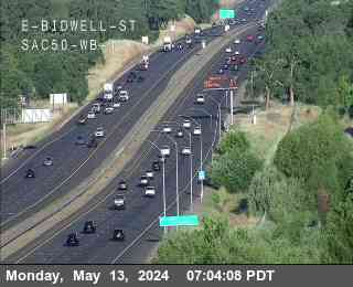
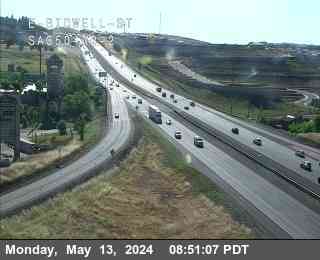
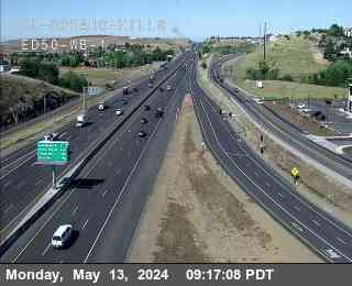
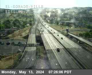
Histoire autour de Carpenter Hill
Villes près de Carpenter Hill
- El Dorado Hillsà 4,3 km
- Folsomà 7,3 km
- Cameron Parkà 10 km
- Orangevaleà 11 km
- Granite Bayà 14 km
- Fair Oaksà 15 km