Doda Dome
8 907 ft2 715 m
Colline · États-Unis
Doda Dome is the unofficial name of a granite dome west of the Tuolumne Meadows area of Yosemite National Park, to the northeast of Tenaya Lake in Tuolumne County, California, U.S. It is a high dome, just northwest of Daff Dome, and may be identified by its mammalian appearance.
Source : Wikipedia, CC BY-SA · Lire l’article
Au sommet · prévision pour 18:00
32 °FPlutôt dégagé · vent 6 mph du SO
Météo au sommet : Doda Dome, 8 907 ft
- 18:0032 °FSO 6 mph–
- 21:0029 °FS 3 mph–
- 0:0029 °FE 3 mph–
- 3:0029 °FSE 4 mph–
- 6:0029 °FSE 3 mph–
- 9:0039 °FS 4 mph–
- 12:0046 °FSO 10 mph–
- 15:0046 °FO 7 mph–
| Jour | Ciel | Max. / min. | Pluie | Vent jusqu’à |
|---|---|---|---|---|
| mer. 28 oct. | Plutôt dégagé | 47 °F / 28 °F | – | 10 mph |
| jeu. 29 oct. | Nuageux | 44 °F / 29 °F | – | 14 mph |
| ven. 30 oct. | Partiellement nuageux | 39 °F / 29 °F | 0,07 po | 8 mph |
| sam. 31 oct. | Neige forte | 34 °F / 27 °F | 0,35 po | 6 mph |
| dim. 1 nov. | Dégagé | 37 °F / 24 °F | – | 8 mph |
| lun. 2 nov. | Dégagé | 52 °F / 25 °F | – | 5 mph |
| mar. 3 nov. | Nuageux | 53 °F / 40 °F | – | 2 mph |
Prévisions de MET Norway (CC BY 4.0), mises à jour à 12:17 UTC−7. Heures locales.
Fiche technique
- Type
- Colline
- Altitude
- 8 907 ft (2 715 m)
- Pays
- États-Unis
- Coordonnées
- 37.883°N 119.417°W
- Source
- Wikidata, CC0
Doda Dome
Granite dome in Yosemite National Park, USA
Doda Dome is the unofficial name of a granite dome west of the Tuolumne Meadows area of Yosemite National Park, to the northeast of Tenaya Lake in Tuolumne County, California, U.S. It is a high dome, just northwest of Daff Dome, and may be identified by its mammalian appearance. It is named after Carol Doda, a famous Bay Area stripper.
Source : Wikipedia, CC BY-SA · Lire l’article
Sommets près de Doda Dome
- Daff Dome9 158 ft · à 0,4 kmSur la carte
- Fairview Dome9 728 ft · à 1,7 kmSur la carte
- Medlicott Dome9 885 ft · à 3,1 kmSur la carte
- pic Cathedral10 912 ft · à 4,1 kmSur la carte
- Polly Dome9 806 ft · à 4,4 kmSur la carte
- Pywiack Dome8 852 ft · à 4,7 kmSur la carte
- pic Unicorn10 828 ft · à 5,2 kmSur la carte
- pic Tresidder10 600 ft · à 6 kmSur la carte
- Lembert Dome9 455 ft · à 6,1 kmSur la carte
- pic Tenaya10 306 ft · à 6,5 kmSur la carte
Plus hautes montagnes : États-Unis
- Denali20 308 ftSur la carte
- mont Saint-Élie18 009 ftSur la carte
- mont Foraker17 402 ftSur la carte
- mont Bona16 535 ftSur la carte
- mont Blackburn16 390 ftSur la carte
- mont Sanford16 237 ftSur la carte
- mont Vancouver15 787 ftSur la carte
- mont Churchill15 636 ftSur la carte
- mont Fairweather15 325 ftSur la carte
- mont Hubbard14 951 ftSur la carte
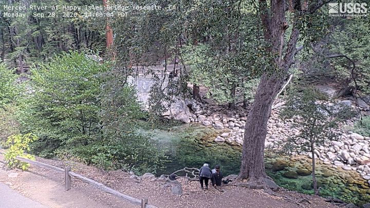
Webcams près de Doda Dome

Histoire autour de Doda Dome
- Pika Fire2023
Villes près de Doda Dome
- Mammoth Lakesà 47 km