Montagnes de Norvège
Fokstuguhøi
1 716 m5 630 ft
Montagne · Alpes scandinaves · Norvège
Fokstuguhøe is a mountain in Dovre Municipality in Innlandet county, Norway. The 1,600-metre (5,200 ft) tall mountain is located in the Dovrefjell mountains and inside the Dovre National Park, about 12 kilometres (7.5 mi) east of the village of Dombås.
Source : Wikipedia, CC BY-SA · Lire l’article
Au sommet · prévision pour 8:00
-2 °CBrouillard · vent 51 km/h du S
 Voir en 3D
Météo au sommet : Fokstuguhøi, 1 716 m
- 8:00-2 °CS 51 km/h–
- 11:00-0 °CS 57 km/h–
- 14:001 °CS 65 km/h1 mm
- 17:002 °CS 52 km/h2,3 mm
- 20:00-0 °CS 49 km/h–
- 23:00-3 °CS 46 km/h–
- 2:00-3 °CS 40 km/h–
- 5:00-3 °CS 38 km/h–
| Jour | Ciel | Max. / min. | Pluie | Vent jusqu’à |
|---|---|---|---|---|
| Aujourd’hui | Brouillard | 2 °C / -3 °C | 3,3 mm | 70 km/h |
| mer. 28 oct. | Brouillard | -3 °C / -4 °C | – | 50 km/h |
| jeu. 29 oct. | Nuageux | 1 °C / -3 °C | – | 37 km/h |
| ven. 30 oct. | Nuageux | 2 °C / 0 °C | – | 34 km/h |
| sam. 31 oct. | Nuageux | 3 °C / -0 °C | – | 21 km/h |
| dim. 1 nov. | Nuageux | -0 °C / -2 °C | – | 30 km/h |
| lun. 2 nov. | Neige | -0 °C / -3 °C | 5,1 mm | 35 km/h |
Prévisions de MET Norway (CC BY 4.0), mises à jour à 03:30 UTC+1. Heures locales.
Fiche technique
- Type
- Montagne
- Altitude
- 1 716 m (5 630 ft)
- Proéminence
- 605 m (1 985 ft)
- Massif
- Alpes scandinaves
- Pays
- Norvège
- Coordonnées
- 62.092°N 9.399°E
- Source
- Wikidata, CC0
Sommets près de Fokstuguhøi
- Dovrefjell2 286 m · à 1,3 kmSur la carte
- Halvfarhøe1 688 m · à 4,1 kmSur la carte
- Falketind1 683 m · à 4,9 kmSur la carte
- Bruri2 000 m · à 25 kmSur la carte
- Trolltinden2 019 m · à 25 kmSur la carte
- Snøhetta2 286 m · à 26 kmSur la carte
- Steet1 996 m · à 27 kmSur la carte
- Storsmeden2 008 m · à 27 kmSur la carte
- Store Larstind2 107 m · à 27 kmSur la carte
- Store Langvasstinden2 084 m · à 27 kmSur la carte
Les plus hauts : Alpes scandinaves
- Dovrefjell2 286 mSur la carte
- Snøhetta2 286 mSur la carte
- Hestbrepiggan2 172 mSur la carte
- Kebnekaise2 097 mSur la carte
- Sarektjåkkå2 089 mSur la carte
- Lodalskåpa2 083 mSur la carte
- mountain-120435522 016 mSur la carte
- Gråhø i Lesja2 013 mSur la carte
- Fokstuguhøi1 716 mSur la carte
Plus hautes montagnes : Norvège
- Galdhøpiggen2 469 mSur la carte
- Glittertind2 464 mSur la carte
- Storen2 406 mSur la carte
- Surtningssue2 368 mSur la carte
- Memurutindene2 365 mSur la carte
- Store Hellstugutinden2 346 mSur la carte
- Knutsholstinden2 339 mSur la carte
- Tjørnholstind2 323 mSur la carte
- Bukkehøe2 314 mSur la carte
- Dovrefjell2 286 mSur la carte
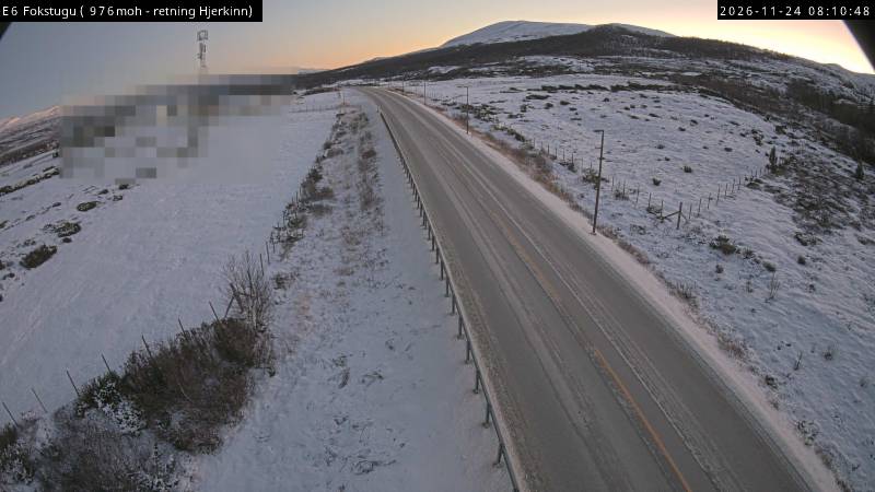
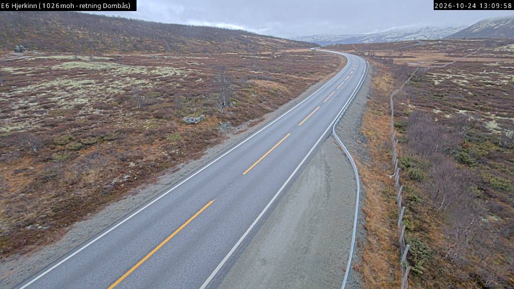
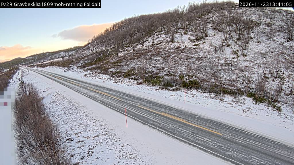
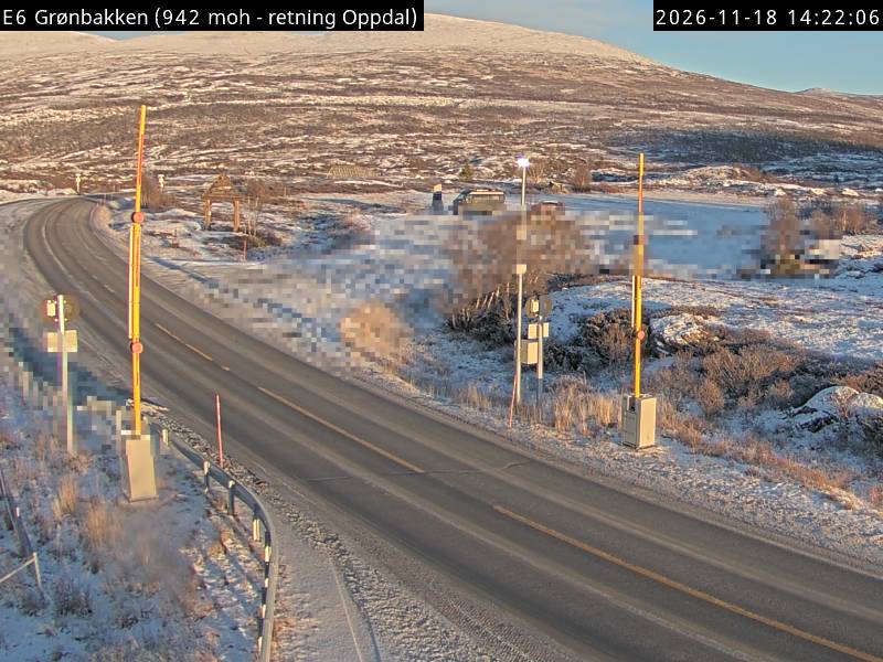
Webcams près de Fokstuguhøi
Histoire autour de Fokstuguhøi
- Battle of Dombås1940