Großer Inselsberg
917 m3 007 ft
Montagne · forêt de Thuringe · Allemagne
Großer Inselsberg is a mountain in the Thuringian Forest with a height of 916.5 m (3,007 ft) above sea level, located on Rennsteig in the districts of Gotha and Schmalkalden-Meiningen.
Source : Wikipedia, CC BY-SA · Lire l’article
Au sommet · prévision pour 23:00
2 °CPlutôt dégagé · vent 5 km/h du SO
 Voir en 3D
Météo au sommet : Großer Inselsberg, 917 m
- 23:002 °CSO 5 km/h–
- 2:001 °CS 5 km/h–
- 5:001 °CS 5 km/h–
- 8:002 °CSO 6 km/h–
- 11:007 °CO 6 km/h–
- 14:008 °CNO 6 km/h–
- 17:006 °CN 4 km/h–
- 20:005 °CNE 3 km/h–
| Jour | Ciel | Max. / min. | Pluie | Vent jusqu’à |
|---|---|---|---|---|
| jeu. 29 oct. | Nuageux | 8 °C / 0 °C | – | 7 km/h |
| ven. 30 oct. | Plutôt dégagé | 7 °C / 2 °C | 0,1 mm | 10 km/h |
| sam. 31 oct. | Partiellement nuageux | 5 °C / 2 °C | 0,7 mm | 9 km/h |
| dim. 1 nov. | Nuageux | 3 °C / 1 °C | 0,6 mm | 13 km/h |
| lun. 2 nov. | Nuageux | 3 °C / -2 °C | – | 9 km/h |
| mar. 3 nov. | Nuageux | 4 °C / -3 °C | 0,1 mm | 8 km/h |
| mer. 4 nov. | Nuageux | 1 °C / -0 °C | 0,1 mm | 13 km/h |
Prévisions de MET Norway (CC BY 4.0), mises à jour à 18:20 UTC+1. Heures locales.
Fiche technique
- Type
- Montagne
- Altitude
- 917 m (3 007 ft)
- Proéminence
- 228 m (748 ft)
- Isolement
- à 27 km d’un terrain plus haut
- Massif
- forêt de Thuringe
- Pays
- Allemagne
- Coordonnées
- 50.851°N 10.466°E
- Source
- Wikidata, CC0
Großer Inselsberg
Peak in the Thuringian Forest
Großer Inselsberg is a mountain in the Thuringian Forest with a height of 916.5 m (3,007 ft) above sea level, located on Rennsteig in the districts of Gotha and Schmalkalden-Meiningen. It is the fourth-highest distinct mountain of Thuringia, after Großer Beerberg, Schneekopf and Großer Finsterberg and forms a landmark that can be viewed in particular from northern and western directions.
Source : Wikipedia, CC BY-SA · Lire l’article
Sommets près de Großer Inselsberg
- Hopfenberg536 m · à 3 kmSur la carte
- Großer Hermannsberg867 m · à 20 kmSur la carte
- Pleß645 m · à 20 kmSur la carte
- Krayenberg428 m · à 24 kmSur la carte
- Großer Beerberg983 m · à 29 kmSur la carte
- Schneekopf978 m · à 29 kmSur la carte
- Gebaberg751 m · à 32 kmSur la carte
- Großer Finsterberg944 m · à 33 kmSur la carte
- Monte Kali520 m · à 34 kmSur la carte
- Heydaer Berg605 m · à 35 kmSur la carte
Les plus hauts : forêt de Thuringe
- Großer Beerberg983 mSur la carte
- Großer Inselsberg917 mSur la carte
- Ruppberg866 mSur la carte
- Dreiherrnstein838 mSur la carte
- Großer Hundskopf824 mSur la carte
- Reischelberg821 mSur la carte
- Pferdeberg805 mSur la carte
- Kohlhieb790 mSur la carte
- Simmersberg781 mSur la carte
Plus hautes montagnes : Allemagne
- Zugspitze2 962 mSur la carte
- Hochwanner2 744 mSur la carte
- Dreitorspitze2 682 mSur la carte
- Hochkalter2 607 mSur la carte
- Biberkopf2 599 mSur la carte
- Grosser Hundstod2 594 mSur la carte
- Hochvogel2 592 mSur la carte
- Östliche Karwendelspitze2 538 mSur la carte
- Hocheisspitze2 523 mSur la carte
- Hoher Göll2 522 mSur la carte
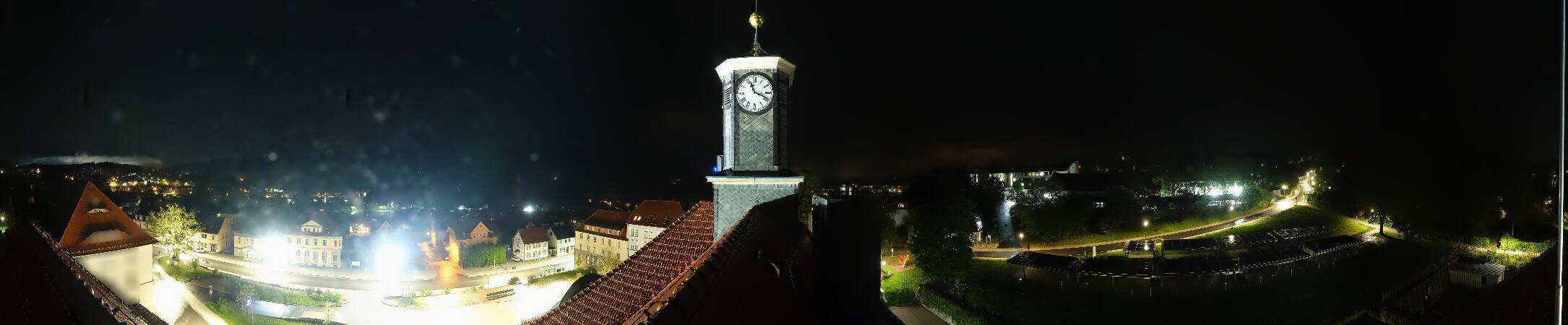
Webcams près de Großer Inselsberg



Histoire autour de Großer Inselsberg
Villes près de Großer Inselsberg
- Schmalkaldenà 15 km
- Bad Salzungenà 17 km
- Eisenachà 18 km
- Gothaà 20 km
- Bad Langensalzaà 31 km
- Suhlà 31 km