Montagnes de Tchéquie
Letná
265 m869 ft
Montagne · Pražská plošina · Tchéquie
Letná is a hill and neighbourhood in Prague, Czech Republic, overlooking the Vltava and the historic city centre. It lies in Prague 7, across parts of Bubeneč and Holešovice. The name is also commonly used for Letná Plain, a large open area adjoining Letná Park.
Source : Wikipedia, CC BY-SA · Lire l’article
Au sommet · prévision pour 5:00
3 °CPartiellement nuageux · vent 8 km/h du S
 Voir en 3D
Météo au sommet : Letná, 265 m
- 5:003 °CS 8 km/h–
- 8:004 °CSO 6 km/h–
- 11:009 °CN 2 km/h–
- 14:0011 °CNO 8 km/h–
- 17:0010 °CNO 12 km/h1,3 mm
- 20:009 °CNO 10 km/h0,3 mm
- 23:009 °CNO 11 km/h–
- 2:007 °CNO 10 km/h–
| Jour | Ciel | Max. / min. | Pluie | Vent jusqu’à |
|---|---|---|---|---|
| Aujourd’hui | Nuageux | 11 °C / 3 °C | 1,6 mm | 12 km/h |
| jeu. 29 oct. | Plutôt dégagé | 11 °C / 4 °C | – | 11 km/h |
| ven. 30 oct. | Nuageux | 9 °C / 3 °C | 0,1 mm | 6 km/h |
| sam. 31 oct. | Nuageux | 9 °C / 7 °C | 1 mm | 12 km/h |
| dim. 1 nov. | Nuageux | 8 °C / 5 °C | 0,3 mm | 9 km/h |
| lun. 2 nov. | Nuageux | 8 °C / 4 °C | 2,3 mm | 11 km/h |
| mar. 3 nov. | Pluie | 7 °C / 5 °C | 1,8 mm | 15 km/h |
Prévisions de MET Norway (CC BY 4.0), mises à jour à 14:17 UTC+1. Heures locales.
Fiche technique
- Type
- Montagne
- Altitude
- 265 m (869 ft)
- Massif
- Pražská plošina
- Pays
- Tchéquie
- Coordonnées
- 50.096°N 14.416°E
- Source
- Wikidata, CC0
Sommets près de Letná
- Petřín331 m · à 2,2 kmSur la carte
- colline Vítkov271 m · à 2,6 kmSur la carte
- Vrch sv. Kříže276 m · à 3,5 kmSur la carte
- Bílá hora381 m · à 7,2 kmSur la carte
- Přerovská hůra236 m · à 31 kmSur la carte
- Říp461 m · à 34 kmSur la carte
- Vlhošť614 m · à 56 kmSur la carte
- Mezivrata713 m · à 58 kmSur la carte
- Brabenec297 m · à 4,4 kmSur la carte
- Ládví359 m · à 5,8 kmSur la carte
Les plus hauts : Pražská plošina
- Kopanina393 mSur la carte
- Kamínek381 mSur la carte
- Bílá hora381 mSur la carte
- Ers345 mSur la carte
- hill-110701018310 mSur la carte
- Děvín310 mSur la carte
- Milíčovský vrch309 mSur la carte
- hill-61863794308 mSur la carte
- Letná265 mSur la carte
Plus hautes montagnes : Tchéquie
- Sniejka1 603 mSur la carte
- Wielki Szyszak1 510 mSur la carte
- Praděd1 491 mSur la carte
- Smogornia1 490 mSur la carte
- Mały Szyszak1 440 mSur la carte
- Keprník1 423 mSur la carte
- Králický Sněžník1 423 mSur la carte
- Plöckenstein1 379 mSur la carte
- Bayerischer Plöckenstein1 362 mSur la carte
- Boubín1 362 mSur la carte
Webcams près de Letná
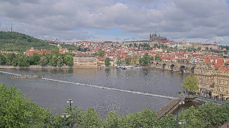
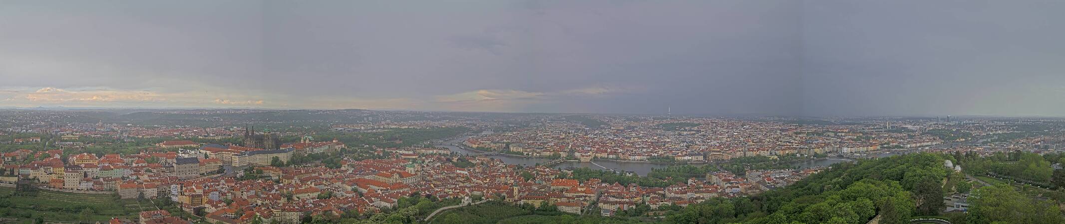

Histoire autour de Letná
Villes près de Letná
- Pragueà 0,9 km
- Dejviceà 1,9 km
- Nové Městoà 2 km
- Holešoviceà 2,6 km
- Žižkovà 2,8 km
- Smíchovà 2,8 km