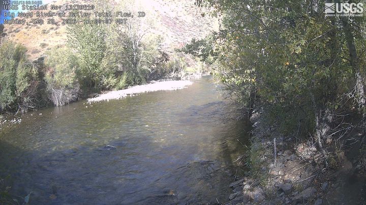
Mahoney Butte
7 904 ft2 409 m
Montagne · Smoky Mountains · États-Unis
Mahoney Butte, at 7,904 feet (2,409 m) above sea level is a peak in the Smoky Mountains of Idaho. The peak is located in Sawtooth National Forest in Blaine County. It is located in the watershed of Greenhorn Creek, a tributary of the Big Wood River. It is about 4.6 mi (7.4 km) southwest of Bald Mountain.
Source : Wikipedia, CC BY-SA · Lire l’article
Au sommet · prévision pour 23:00
22 °FDégagé · vent 5 mph du NO
Météo au sommet : Mahoney Butte, 7 904 ft
- 23:0022 °FNO 5 mph–
- 2:0022 °FNO 5 mph–
- 5:0021 °FNO 5 mph–
- 8:0020 °FNO 5 mph–
- 11:0037 °FE 4 mph–
- 14:0042 °FSE 6 mph–
- 17:0041 °FSE 4 mph–
- 20:0030 °FN 4 mph–
| Jour | Ciel | Max. / min. | Pluie | Vent jusqu’à |
|---|---|---|---|---|
| jeu. 29 oct. | Partiellement nuageux | 42 °F / 20 °F | – | 7 mph |
| ven. 30 oct. | Pluie faible | 40 °F / 28 °F | 0,1 po | 6 mph |
| sam. 31 oct. | Pluie et neige mêlées | 35 °F / 24 °F | 0,63 po | 5 mph |
| dim. 1 nov. | Pluie | 36 °F / 28 °F | 0,9 po | 7 mph |
| lun. 2 nov. | Dégagé | 38 °F / 19 °F | – | 10 mph |
| mar. 3 nov. | Partiellement nuageux | 42 °F / 20 °F | – | 4 mph |
| mer. 4 nov. | Dégagé | 43 °F / 21 °F | – | 4 mph |
Prévisions de MET Norway (CC BY 4.0), mises à jour à 07:17 UTC−6. Heures locales.
Fiche technique
- Type
- Montagne
- Altitude
- 7 904 ft (2 409 m)
- Proéminence
- 484 ft (148 m)
- Massif
- Smoky Mountains
- Pays
- États-Unis
- Coordonnées
- 43.597°N 114.454°W
- Source
- Wikidata, CC0
Mahoney Butte
Mountain in Idaho, United States
Mahoney Butte, at 7,904 feet (2,409 m) above sea level is a peak in the Smoky Mountains of Idaho. The peak is located in Sawtooth National Forest in Blaine County. It is located in the watershed of Greenhorn Creek, a tributary of the Big Wood River. It is about 4.6 mi (7.4 km) southwest of Bald Mountain. No roads or trails go to the summit, although the peak is most easily accessed from trails at the end of road 117.
Source : Wikipedia, CC BY-SA · Lire l’article
Sommets près de Mahoney Butte
- Bald Mountain9 150 ft · à 7,4 kmSur la carte
- Buttercup Mountain9 079 ft · à 13 kmSur la carte
- Big Peak10 047 ft · à 24 kmSur la carte
- Skillern Peak8 878 ft · à 31 kmSur la carte
- Hyndman Peak12 009 ft · à 31 kmSur la carte
- Camas County Highpoint10 337 ft · à 32 kmSur la carte
- Saviers Peak10 441 ft · à 33 kmSur la carte
- Bromaghin Peak10 225 ft · à 34 kmSur la carte
- Titus Peak10 110 ft · à 34 kmSur la carte
- Ryan Peak11 714 ft · à 34 kmSur la carte
Les plus hauts : Smoky Mountains
- Saviers Peak10 441 ftSur la carte
- Norton Peak10 336 ftSur la carte
- Baker Peak10 174 ftSur la carte
- Big Peak10 047 ftSur la carte
- Kelly Mountain8 826 ftSur la carte
- Mahoney Butte7 904 ftSur la carte
Plus hautes montagnes : États-Unis
- Denali20 308 ftSur la carte
- mont Saint-Élie18 009 ftSur la carte
- mont Foraker17 402 ftSur la carte
- mont Bona16 535 ftSur la carte
- mont Blackburn16 390 ftSur la carte
- mont Sanford16 237 ftSur la carte
- mont Vancouver15 787 ftSur la carte
- mont Churchill15 636 ftSur la carte
- mont Fairweather15 325 ftSur la carte
- mont Hubbard14 951 ftSur la carte