Montagnes de États-Unis
Makushin Volcano
5 906 ft1 800 m
Volcan · chaîne aléoutienne · États-Unis
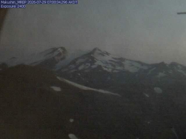
The Makushin Volcano is an ice-covered stratovolcano located on Unalaska Island in the Aleutian Islands of the U.S. state of Alaska. With an elevation of 2,036 meters (6,680 ft), its summit is the highest point on the island. Makushin is one of the most active among the 52 historically active volcanoes of Alaska.
Source : Wikipedia, CC BY-SA · Lire l’article
Au sommet · prévision pour 13:00
22 °FNeige faible · vent 17 mph du O
 Voir en 3D
Météo au sommet : Makushin Volcano, 5 906 ft
- 13:0022 °FO 17 mph0,01 po
- 16:0021 °FNO 14 mph–
- 19:0020 °FNO 10 mph–
- 22:0024 °FN 5 mph–
- 1:0025 °FSE 6 mph–
- 4:0021 °FSE 10 mph0,01 po
- 7:0020 °FSE 13 mph0 po
- 10:0023 °FS 18 mph0,02 po
| Jour | Ciel | Max. / min. | Pluie | Vent jusqu’à |
|---|---|---|---|---|
| jeu. 29 oct. | Neige | 28 °F / 19 °F | 0,16 po | 25 mph |
| ven. 30 oct. | Neige forte | 26 °F / 20 °F | 0,63 po | 28 mph |
| sam. 31 oct. | Neige | 22 °F / 16 °F | 0,56 po | 23 mph |
| dim. 1 nov. | Neige | 19 °F / 12 °F | 0,54 po | 12 mph |
| lun. 2 nov. | Neige | 26 °F / 20 °F | 1,07 po | 19 mph |
| mar. 3 nov. | Neige | 20 °F / 19 °F | 0,5 po | 15 mph |
| mer. 4 nov. | Neige forte | 22 °F / 16 °F | 0,48 po | 15 mph |
Prévisions de MET Norway (CC BY 4.0), mises à jour à 11:19 UTC. Heures locales.
Fiche technique
- Type
- Volcan
- Altitude
- 5 906 ft (1 800 m)
- Proéminence
- 6 680 ft (2 036 m)
- Massif
- chaîne aléoutienne
- Pays
- États-Unis
- Première ascension
- 1867
- Coordonnées
- 53.886°N 166.911°W
- Numéro du volcan
- 311310 au Global Volcanism Program
- Source
- Wikidata, CC0
27 éruptions recensées
- Éruption de 1995
- Éruption de 1993
- Éruption de 1987
- Éruption de 1980
- Éruption de 1952
- Éruption de 1951
- Éruption de 1938
- Éruption de 1926
- Éruption de 1912
- Éruption de 1907
- Éruption de 1883
- Éruption de 1867
Les 12 dernières sur 27, d’après le Global Volcanism Program du Smithsonian, via Histoire.
Sommets près de Makushin Volcano
- Mount Ballyhoo1 650 ft · à 25 kmSur la carte
- Table Top MountainMontagne · à 19 kmSur la carte
- Wide Bay2 100 ft · à 21 kmSur la carte
- Mount NewhallMontagne · à 28 kmSur la carte
Les plus hauts : chaîne aléoutienne
- mont Shishaldin9 373 ftSur la carte
- mont Pavlof8 264 ftSur la carte
- mont Veniaminof8 225 ftSur la carte
- Isanotski Peaks8 106 ftSur la carte
- mont Denison7 606 ftSur la carte
- mont Griggs7 602 ftSur la carte
- Mount Steller7 454 ftSur la carte
- mont Mageik7 103 ftSur la carte
- Makushin Volcano5 906 ftSur la carte
Plus hautes montagnes : États-Unis
- Denali20 308 ftSur la carte
- mont Saint-Élie18 009 ftSur la carte
- mont Foraker17 402 ftSur la carte
- mont Bona16 535 ftSur la carte
- mont Blackburn16 390 ftSur la carte
- mont Sanford16 237 ftSur la carte
- mont Vancouver15 787 ftSur la carte
- mont Churchill15 636 ftSur la carte
- mont Fairweather15 325 ftSur la carte
- mont Hubbard14 951 ftSur la carte