Mount Barnard
13 996 ft4 266 m
Montagne · sierra Nevada · États-Unis
Mount Barnard is a mountain in the U.S. state of California, and has the dubious distinction of being the highest thirteener, a peak between 13,000 and 13,999 feet in elevation, in the United States.
Source : Wikipedia, CC BY-SA · Lire l’article
Au sommet · prévision pour 0:00
21 °FDégagé · vent 3 mph du O
 Voir en 3D
Météo au sommet : Mount Barnard, 13 996 ft
- 0:0021 °FO 3 mph–
- 3:0021 °FO 2 mph–
- 6:0020 °FO 3 mph–
- 9:0028 °FO 4 mph–
- 12:0035 °FO 7 mph–
- 15:0033 °FO 8 mph–
- 18:0022 °FO 3 mph–
- 21:0019 °FO 3 mph–
| Jour | Ciel | Max. / min. | Pluie | Vent jusqu’à |
|---|---|---|---|---|
| Aujourd’hui | Dégagé | 35 °F / 18 °F | – | 8 mph |
| mer. 28 oct. | Partiellement nuageux | 33 °F / 19 °F | – | 4 mph |
| jeu. 29 oct. | Dégagé | 27 °F / 18 °F | 0,02 po | 5 mph |
| ven. 30 oct. | Partiellement nuageux | 23 °F / 11 °F | 0,02 po | 1 mph |
| sam. 31 oct. | Plutôt dégagé | 20 °F / 11 °F | – | 2 mph |
| dim. 1 nov. | Dégagé | 24 °F / 14 °F | – | 3 mph |
| lun. 2 nov. | Dégagé | 32 °F / 19 °F | – | 2 mph |
Prévisions de MET Norway (CC BY 4.0), mises à jour à 22:20 UTC−7. Heures locales.
Fiche technique
- Type
- Montagne
- Altitude
- 13 996 ft (4 266 m)
- Proéminence
- 932 ft (284 m)
- Massif
- sierra Nevada
- Sommet parent
- mont Tyndall
- Pays
- États-Unis
- Première ascension
- 25 septembre 1892
- Coordonnées
- 36.629°N 118.321°W
- Source
- Wikidata, CC0
Mount Barnard (California)
Mountain in the U.S. state of California
Mount Barnard is a mountain in the U.S. state of California, and has the dubious distinction of being the highest thirteener, a peak between 13,000 and 13,999 feet in elevation, in the United States. It is located on the Sierra Crest and straddles the boundary between Tulare and Inyo counties about 2 miles (3 km) southwest of Mount Williamson, the second-highest peak in the state; Mount Barnard is the twelfth-highest…
Source : Wikipedia, CC BY-SA · Lire l’article
Sommets près de Mount Barnard
- Trojan Peak13 950 ft · à 1,7 kmSur la carte
- mont Williamson14 403 ft · à 3,2 kmSur la carte
- mont Tyndall14 025 ft · à 3,3 kmSur la carte
- Tunnabora Peak13 566 ft · à 4,3 kmSur la carte
- mont Russell14 094 ft · à 5,1 kmSur la carte
- Mount Young13 182 ft · à 5,3 kmSur la carte
- Mount Carillon13 553 ft · à 5,6 kmSur la carte
- mont Whitney14 505 ft · à 6,1 kmSur la carte
- mont Muir14 016 ft · à 7,6 kmSur la carte
- Junction Peak13 894 ft · à 8 kmSur la carte
Sommet parent
Le sommet plus haut le plus proche, auquel se mesure sa proéminence.
- mont Tyndall14 025 ftSur la carte
Les plus hauts : sierra Nevada
- mont Whitney14 505 ftSur la carte
- mont Williamson14 403 ftSur la carte
- mont Russell14 094 ftSur la carte
- mont Langley14 032 ftSur la carte
- mont Tyndall14 025 ftSur la carte
- Mount Barnard13 996 ftSur la carte
- Mount Humphreys13 992 ftSur la carte
- Mount Keith13 982 ftSur la carte
- Mount LeConte13 936 ftSur la carte
Plus hautes montagnes : États-Unis
- Denali20 308 ftSur la carte
- mont Saint-Élie18 009 ftSur la carte
- mont Foraker17 402 ftSur la carte
- mont Bona16 535 ftSur la carte
- mont Blackburn16 390 ftSur la carte
- mont Sanford16 237 ftSur la carte
- mont Vancouver15 787 ftSur la carte
- mont Churchill15 636 ftSur la carte
- mont Fairweather15 325 ftSur la carte
- mont Hubbard14 951 ftSur la carte
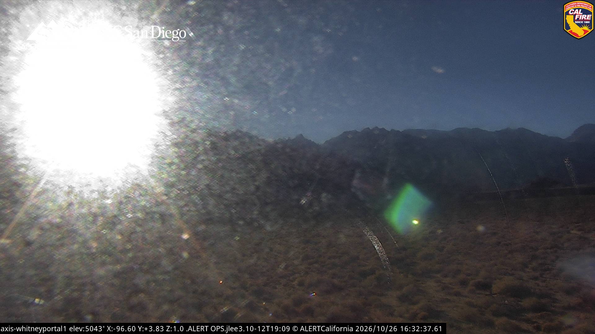
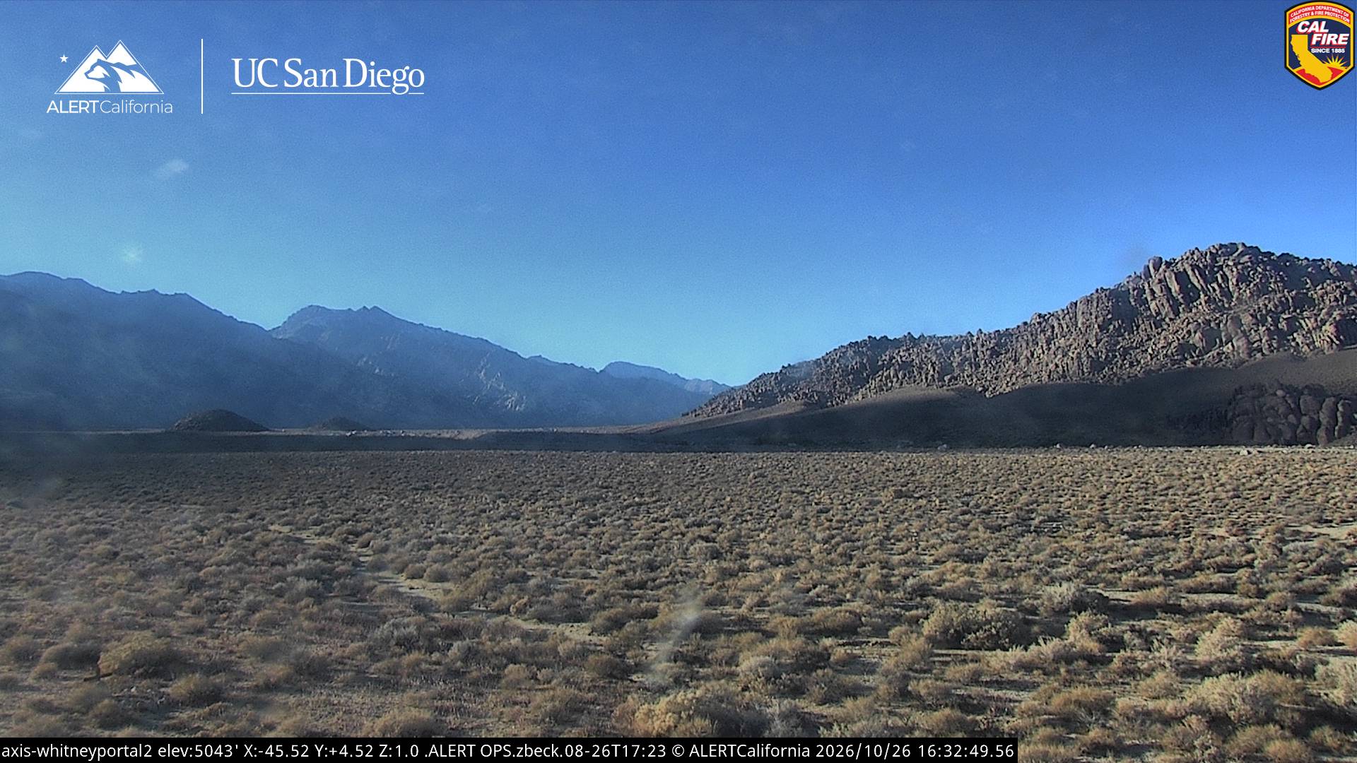
Webcams près de Mount Barnard
Histoire autour de Mount Barnard
Villes près de Mount Barnard
- Woodlakeà 74 km