Montagnes de États-Unis
Mount Orizaba
2 127 ft648 m
Montagne · États-Unis
Mount Orizaba is the highest peak on Santa Catalina Island, California, United States. The summit is at 2,097 feet (639 m). On January 10, 1949, 8 inches (200 mm) of snow fell on the mountain. There is an FAA VORTAC installation at the summit. It is named after Pico de Orizaba, the tallest peak in Mexico.
Source : Wikipedia, CC BY-SA · Lire l’article
Au sommet · prévision pour 13:00
64 °FDégagé · vent 8 mph du SO
 Voir en 3D
Météo au sommet : Mount Orizaba, 2 127 ft
- 13:0064 °FSO 8 mph–
- 16:0064 °FO 11 mph–
- 19:0063 °FO 14 mph–
- 22:0062 °FNO 6 mph–
- 1:0062 °FO 9 mph–
- 4:0061 °FO 8 mph–
- 7:0061 °FO 6 mph–
- 10:0062 °FO 8 mph–
| Jour | Ciel | Max. / min. | Pluie | Vent jusqu’à |
|---|---|---|---|---|
| mer. 28 oct. | Partiellement nuageux | 64 °F / 61 °F | – | 10 mph |
| jeu. 29 oct. | Nuageux | 62 °F / 59 °F | 0,01 po | 13 mph |
| ven. 30 oct. | Pluie faible | 60 °F / 59 °F | 0,04 po | 13 mph |
| sam. 31 oct. | Pluie | 60 °F / 59 °F | 0,13 po | 9 mph |
| dim. 1 nov. | Dégagé | 64 °F / 59 °F | 0,01 po | 12 mph |
| lun. 2 nov. | Dégagé | 70 °F / 64 °F | – | 11 mph |
| mar. 3 nov. | Dégagé | 71 °F / 66 °F | – | 7 mph |
Prévisions de MET Norway (CC BY 4.0), mises à jour à 10:17 UTC−7. Heures locales.
Fiche technique
- Type
- Montagne
- Altitude
- 2 127 ft (648 m)
- Proéminence
- 2 127 ft (648 m)
- Pays
- États-Unis
- Coordonnées
- 33.375°N 118.420°W
- Source
- Wikidata, CC0
Plus hautes montagnes : États-Unis
- Denali20 308 ftSur la carte
- mont Saint-Élie18 009 ftSur la carte
- mont Foraker17 402 ftSur la carte
- mont Bona16 535 ftSur la carte
- mont Blackburn16 390 ftSur la carte
- mont Sanford16 237 ftSur la carte
- mont Vancouver15 787 ftSur la carte
- mont Churchill15 636 ftSur la carte
- mont Fairweather15 325 ftSur la carte
- mont Hubbard14 951 ftSur la carte
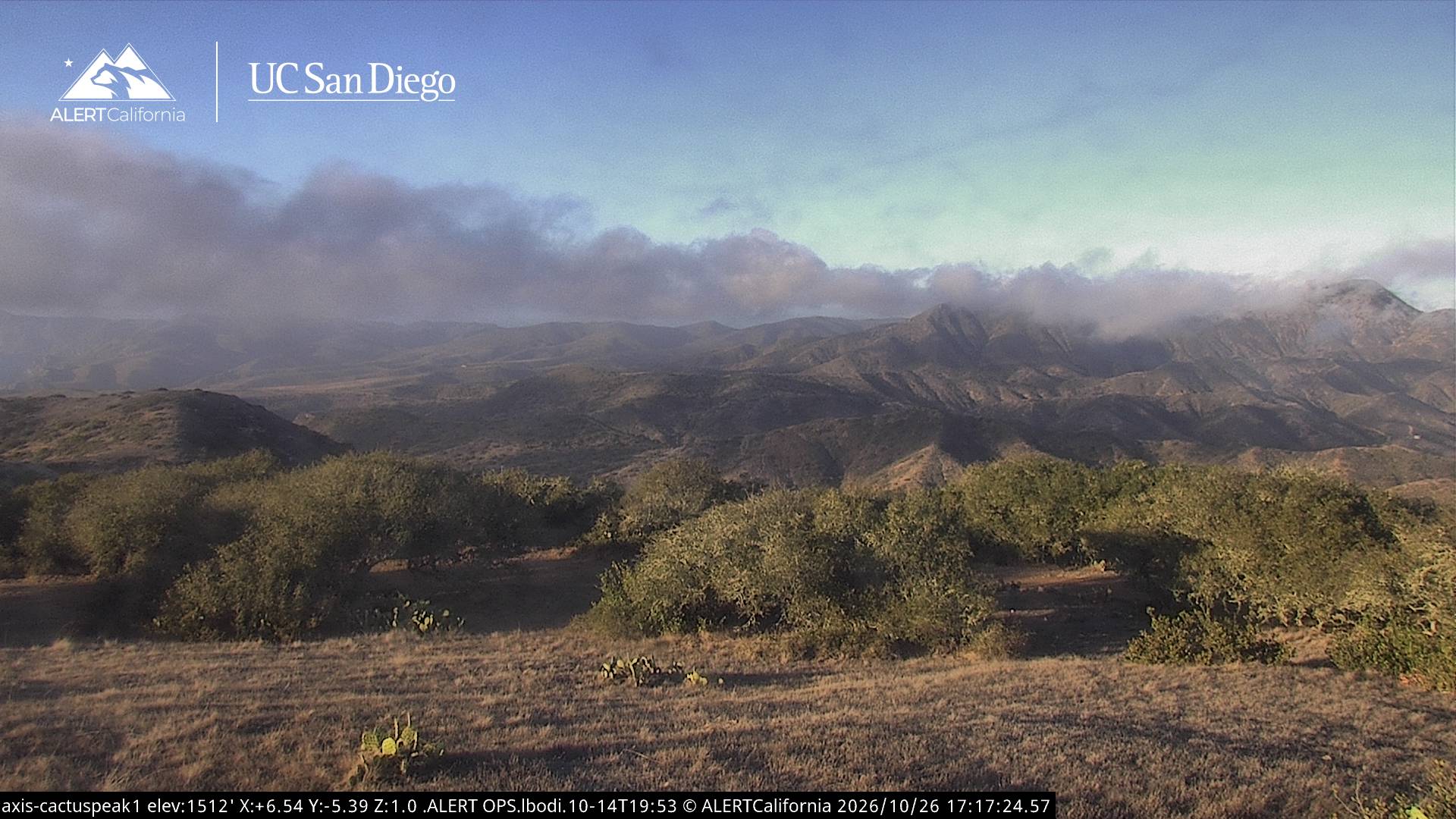
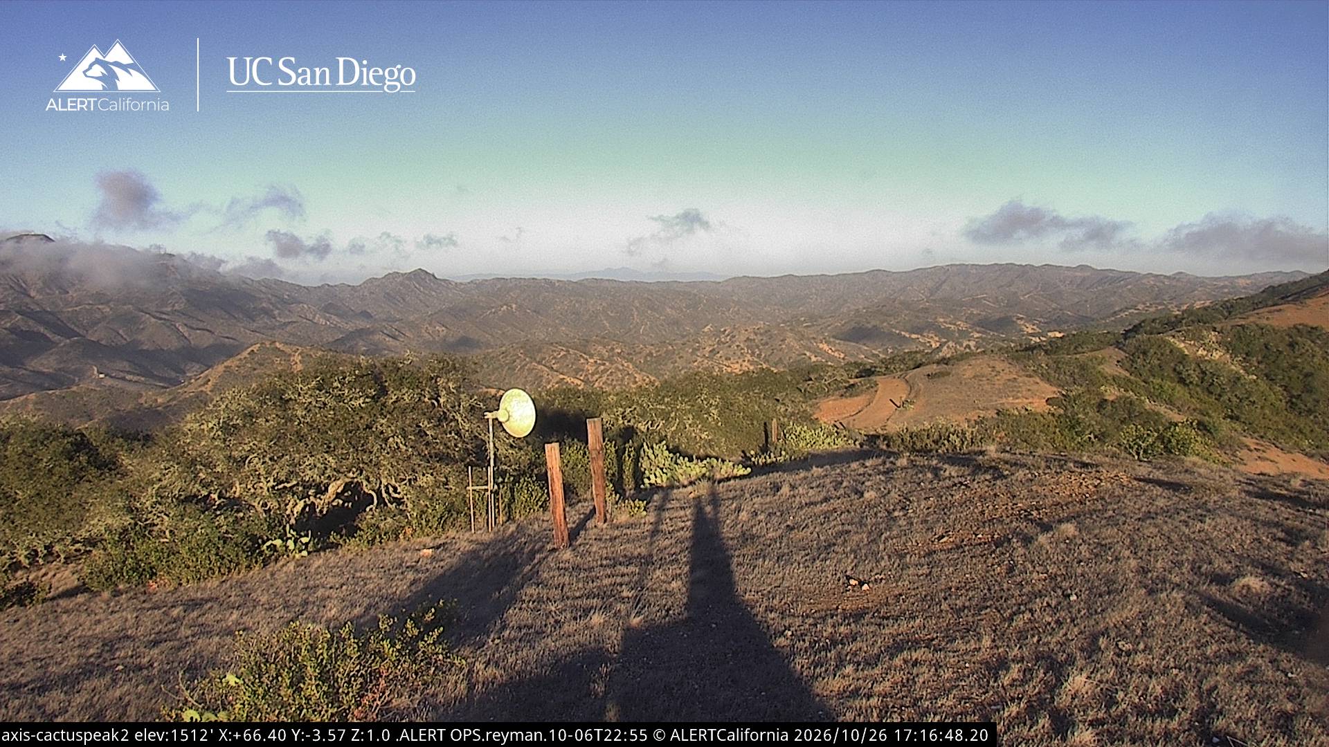
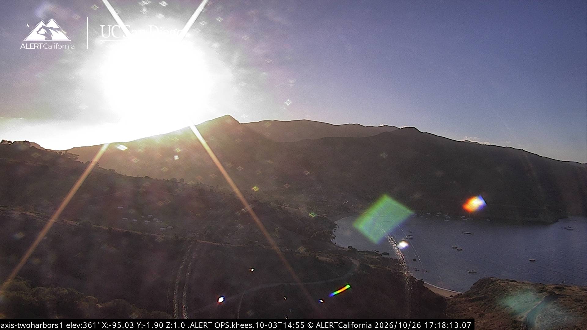
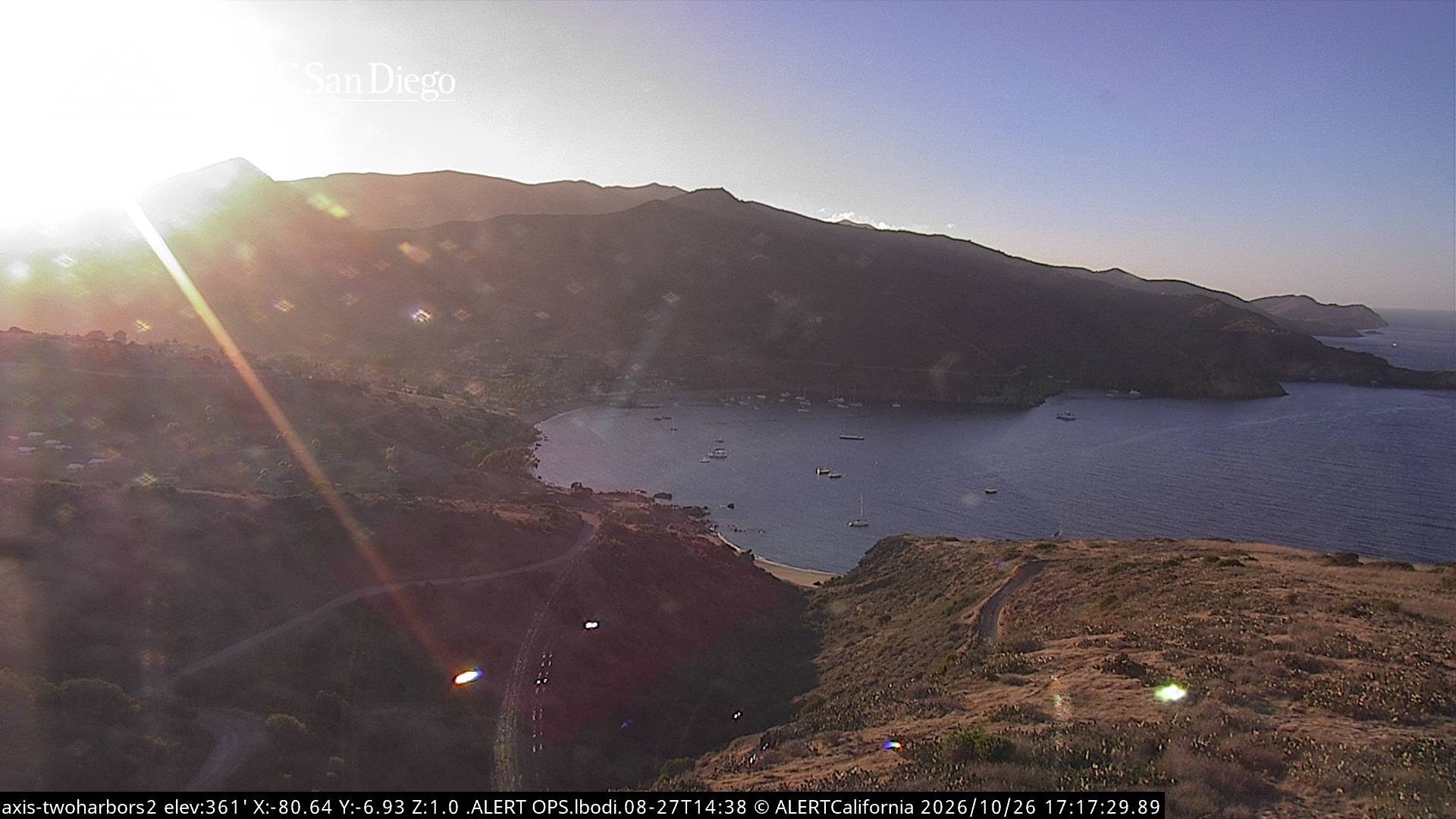
Webcams près de Mount Orizaba
Histoire autour de Mount Orizaba
- 2007 Island Fire2007
Villes près de Mount Orizaba
- Rancho Palos Verdesà 41 km
- Rolling Hillsà 43 km
- Palos Verdes Estatesà 44 km
- Rolling Hills Estatesà 46 km
- Lomitaà 47 km
- Long Beachà 49 km