Montagnes de Allemagne
Schanzenkopf
343 m1 125 ft
Montagne · Spessart · Allemagne
Schanzenkopf (Spessart) is a wooded hill of Bavaria, Germany. It lies in the Mittelgebirge Spessart in the district of Aschaffenburg.
Source : Wikipedia, CC BY-SA · Lire l’article
Au sommet · prévision pour 13:00
12 °CPartiellement nuageux · vent 11 km/h du NO
 Voir en 3D
Météo au sommet : Schanzenkopf, 343 m
- 13:0012 °CNO 11 km/h–
- 16:0011 °CNO 6 km/h–
- 19:007 °CN 5 km/h–
- 22:006 °CE 4 km/h–
- 1:005 °CN 4 km/h–
- 4:002 °CE 3 km/h–
- 7:002 °CNE 6 km/h–
- 10:006 °CN 4 km/h–
| Jour | Ciel | Max. / min. | Pluie | Vent jusqu’à |
|---|---|---|---|---|
| jeu. 29 oct. | Plutôt dégagé | 12 °C / 2 °C | – | 8 km/h |
| ven. 30 oct. | Partiellement nuageux | 12 °C / 3 °C | – | 14 km/h |
| sam. 31 oct. | Partiellement nuageux | 11 °C / 3 °C | – | 9 km/h |
| dim. 1 nov. | Partiellement nuageux | 11 °C / 3 °C | – | 6 km/h |
| lun. 2 nov. | Nuageux | 9 °C / 5 °C | 1,1 mm | 17 km/h |
| mar. 3 nov. | Dégagé | 8 °C / 2 °C | 0,5 mm | 9 km/h |
| mer. 4 nov. | Nuageux | 10 °C / 5 °C | 0,2 mm | 10 km/h |
Prévisions de MET Norway (CC BY 4.0), mises à jour à 06:21 UTC+1. Heures locales.
Fiche technique
- Type
- Montagne
- Altitude
- 343 m (1 125 ft)
- Massif
- Spessart
- Pays
- Allemagne
- Coordonnées
- 50.071°N 9.092°E
- Source
- Wikidata, CC0
Sommets près de Schanzenkopf
- Horst540 m · à 25 kmSur la carte
- Wintersberg434 m · à 26 kmSur la carte
- Glauberg277 m · à 27 kmSur la carte
- Schwarzer Berg521 m · à 28 kmSur la carte
- Weickertshöhe546 m · à 29 kmSur la carte
- Markberg516 m · à 30 kmSur la carte
- Otzberg368 m · à 31 kmSur la carte
- Gickelsburg471 m · à 42 kmSur la carte
- Hünerberg375 m · à 43 kmSur la carte
- Bleibeskopf480 m · à 44 kmSur la carte
Les plus hauts : Spessart
- Querberg567 mSur la carte
- Hermannskoppe567 mSur la carte
- Klosterkuppel553 mSur la carte
- Weickertshöhe546 mSur la carte
- Steckenlaubshöhe542 mSur la carte
- Hoher Knuck539 mSur la carte
- Sohlhöhe531 mSur la carte
- Schindershöh522 mSur la carte
- Schanzenkopf343 mSur la carte
Plus hautes montagnes : Allemagne
- Zugspitze2 962 mSur la carte
- Hochwanner2 744 mSur la carte
- Dreitorspitze2 682 mSur la carte
- Hochkalter2 607 mSur la carte
- Biberkopf2 599 mSur la carte
- Grosser Hundstod2 594 mSur la carte
- Hochvogel2 592 mSur la carte
- Östliche Karwendelspitze2 538 mSur la carte
- Hocheisspitze2 523 mSur la carte
- Hoher Göll2 522 mSur la carte
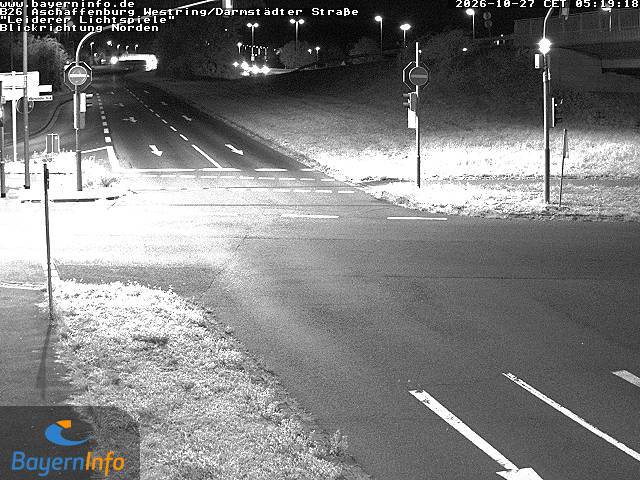
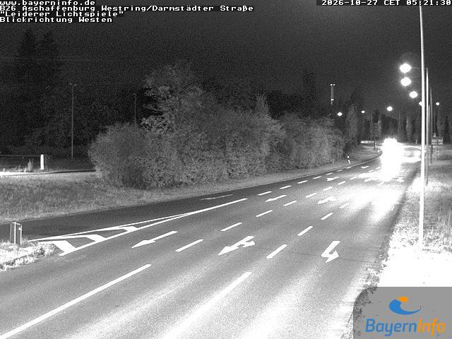
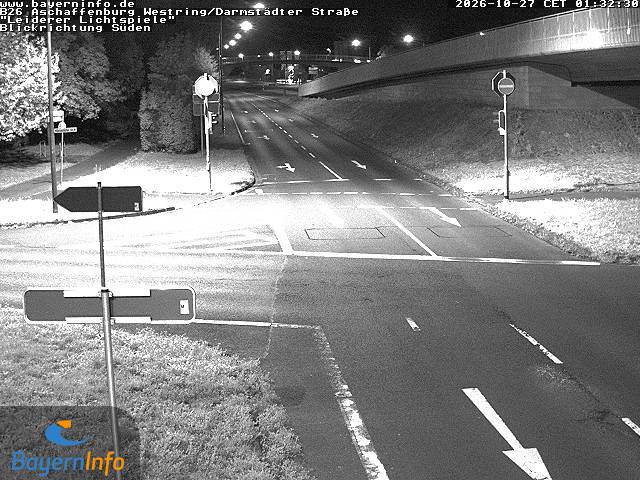
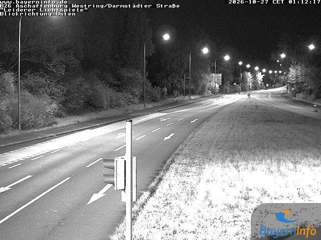
Webcams près de Schanzenkopf
Histoire autour de Schanzenkopf
- 2020 Hanau shootings2020
- Battle of Dettingen1743
- Robert Schuman presents his proposal for the creation of a pan-European organisation1950
- Standard & Poor's downgrades Greece's sovereign credit rating to junk 4 days after the activation of a €45-billion EU–IMF bailout2010
- 2025 Aschaffenburg stabbing attack: Two people, including a child, are killed in a knife attack in Aschaffenburg2025
- Stock markets rise significantly and bond prices fall around the world after investors are reassured by the European Union and International Monetary Fund’s…2010
- Battle of Aschaffenburg1866
- Battle of Laufach1866
Villes près de Schanzenkopf
- Alzenau in Unterfrankenà 2,8 km
- Seligenstadtà 9 km
- Aschaffenburgà 11 km
- Hanau am Mainà 14 km
- Babenhausenà 15 km
- Rodgauà 16 km