Tinner Hill
Colline · États-Unis
Tinner Hill is a residential neighborhood and historic district on the border of Falls Church, Virginia and Fairfax County named for former resident, Joseph Tinner. It was the site of the first rural branch of the National Association for the Advancement of Colored People (NAACP).
Source : Wikipedia, CC BY-SA · Lire l’article
Au sommet · prévision pour 19:00
60 °FDégagé · vent 5 mph du E
 Voir en 3D
Prévisions météo à Tinner Hill
- 19:0060 °FE 5 mph–
- 22:0056 °FE 5 mph–
- 1:0053 °FSE 6 mph–
- 4:0051 °FE 4 mph–
- 7:0049 °FE 4 mph–
- 10:0057 °FE 4 mph–
- 13:0064 °FSE 5 mph–
- 16:0065 °FSE 5 mph–
| Jour | Ciel | Max. / min. | Pluie | Vent jusqu’à |
|---|---|---|---|---|
| mer. 28 oct. | Plutôt dégagé | 65 °F / 49 °F | – | 6 mph |
| jeu. 29 oct. | Partiellement nuageux | 70 °F / 49 °F | – | 7 mph |
| ven. 30 oct. | Dégagé | 72 °F / 53 °F | – | 10 mph |
| sam. 31 oct. | Nuageux | 63 °F / 48 °F | – | 7 mph |
| dim. 1 nov. | Partiellement nuageux | 67 °F / 49 °F | – | 8 mph |
| lun. 2 nov. | Plutôt dégagé | 69 °F / 53 °F | – | 7 mph |
| mar. 3 nov. | Partiellement nuageux | 71 °F / 55 °F | – | 9 mph |
Prévisions de MET Norway (CC BY 4.0), mises à jour à 15:17 UTC−4. Heures locales.
Fiche technique
- Type
- Colline
- Pays
- États-Unis
- Coordonnées
- 38.879°N 77.177°W
- Source
- Wikidata, CC0
Tinner Hill
Neighborhood
Tinner Hill is a residential neighborhood and historic district on the border of Falls Church, Virginia and Fairfax County named for former resident, Joseph Tinner. It was the site of the first rural branch of the National Association for the Advancement of Colored People (NAACP). Tinner Hill also contains Tinner Hill Historic Park, a memorial park dedicated to the Tinner family, which is administered by NOVA Parks.
Source : Wikipedia, CC BY-SA · Lire l’article
Sommets près de Tinner Hill
- Point Reno409 ft · à 12 kmSur la carte
- Hogback Mountain670 ft · à 44 kmSur la carte
- Sugar Loaf Mountain1 282 ft · à 47 kmSur la carte
- Upton's HillColline · à 2,7 kmSur la carte
- Minor's HillMontagne · à 3,1 kmSur la carte
- Mason's HillColline · à 4,8 kmSur la carte
- Furnace MountainMontagne · à 54 kmSur la carte
Plus hautes montagnes : États-Unis
- Denali20 308 ftSur la carte
- mont Saint-Élie18 009 ftSur la carte
- mont Foraker17 402 ftSur la carte
- mont Bona16 535 ftSur la carte
- mont Blackburn16 390 ftSur la carte
- mont Sanford16 237 ftSur la carte
- mont Vancouver15 787 ftSur la carte
- mont Churchill15 636 ftSur la carte
- mont Fairweather15 325 ftSur la carte
- mont Hubbard14 951 ftSur la carte
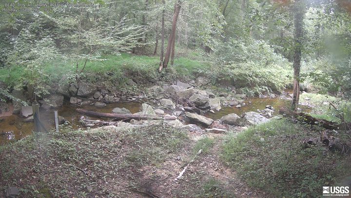
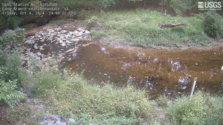
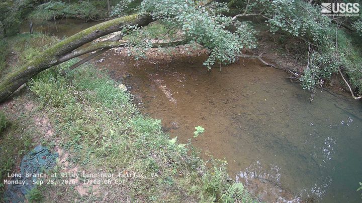
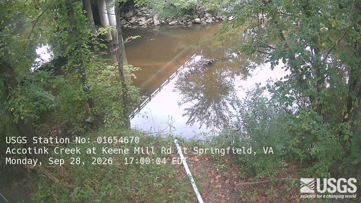
Webcams près de Tinner Hill
Histoire autour de Tinner Hill
- Egypt–Israel Peace Treaty1979
- 2025 Potomac River mid-air collision2025
- Hay–Bunau-Varilla Treaty1903
- Alaska Purchase1867
- Armenia-Azerbaijan peace agreement2025
- The Oslo Accords are officially signed at a public ceremony in Washington, DC in the presence of Israeli Prime Minister Yitzhak Rabin1993
- The North Atlantic Treaty is signed in Washington, D.C., creating the NATO defense alliance1949
- Declaration by United Nations1942
Villes près de Tinner Hill
- West Falls Churchà 1,9 km
- Idylwoodà 3,5 km
- Merrifieldà 4,4 km
- Bailey's Crossroadsà 5,2 km
- Annandaleà 5,7 km
- McLeanà 6,1 km