Trabuco Peak
4 607 ft1 404 m
Montagne · monts Santa Ana · États-Unis
Trabuco Peak is a 4,607-foot (1,404 m) summit in the Santa Ana Mountains on the border of Orange and Riverside Counties, California, about halfway between Rancho Santa Margarita and Lake Elsinore. The mountain sits on the divide between Arroyo Trabuco on the west and the Temescal Creek valley on the east.
Source : Wikipedia, CC BY-SA · Lire l’article
Au sommet · prévision pour 7:00
42 °FPartiellement nuageux · vent 3 mph du E
 Voir en 3D
Météo au sommet : Trabuco Peak, 4 607 ft
- 7:0042 °FE 3 mph–
- 10:0055 °FSO 2 mph–
- 13:0060 °FSO 4 mph–
- 16:0060 °FSO 6 mph–
- 19:0049 °FSO 3 mph–
- 22:0047 °FSE 2 mph–
- 1:0047 °FNE 1 mph–
- 4:0046 °FE 2 mph–
| Jour | Ciel | Max. / min. | Pluie | Vent jusqu’à |
|---|---|---|---|---|
| Aujourd’hui | Partiellement nuageux | 61 °F / 42 °F | – | 6 mph |
| jeu. 29 oct. | Partiellement nuageux | 60 °F / 45 °F | 0,02 po | 8 mph |
| ven. 30 oct. | Partiellement nuageux | 55 °F / 46 °F | 0,04 po | 7 mph |
| sam. 31 oct. | Pluie | 53 °F / 44 °F | 1,02 po | 2 mph |
| dim. 1 nov. | Partiellement nuageux | 54 °F / 46 °F | 0,57 po | 6 mph |
| lun. 2 nov. | Dégagé | 60 °F / 47 °F | – | 3 mph |
| mar. 3 nov. | Partiellement nuageux | 63 °F / 51 °F | – | 5 mph |
Prévisions de MET Norway (CC BY 4.0), mises à jour à 06:17 UTC−7. Heures locales.
Fiche technique
- Type
- Montagne
- Altitude
- 4 607 ft (1 404 m)
- Proéminence
- 817 ft (249 m)
- Massif
- monts Santa Ana
- Pays
- États-Unis
- Coordonnées
- 33.702°N 117.475°W
- Source
- Wikidata, CC0
Trabuco Peak
Stream in the American state of California
Trabuco Peak is a 4,607-foot (1,404 m) summit in the Santa Ana Mountains on the border of Orange and Riverside Counties, California, about halfway between Rancho Santa Margarita and Lake Elsinore. The mountain sits on the divide between Arroyo Trabuco on the west and the Temescal Creek valley on the east. Situated in the Cleveland National Forest, it is the highest summit in the Santa Anas south of Santiago Peak.
Source : Wikipedia, CC BY-SA · Lire l’article
Sommets près de Trabuco Peak
- Los Pinos Peak4 513 ft · à 4,2 kmSur la carte
- pic Santiago5 689 ft · à 5,5 kmSur la carte
- Modjeska Peak5 499 ft · à 6,8 kmSur la carte
- Estelle Mountain2 767 ft · à 8,8 kmSur la carte
- San Mateo Peak3 591 ft · à 13 kmSur la carte
- Rome Hill1 444 ft · à 16 kmSur la carte
- Elsinore Peak3 575 ft · à 16 kmSur la carte
- Arlington Mountain1 857 ft · à 19 kmSur la carte
- Three Sisters1 886 ft · à 21 kmSur la carte
- Redonda Mesa2 825 ft · à 26 kmSur la carte
Les plus hauts : monts Santa Ana
- pic Santiago5 689 ftSur la carte
- Trabuco Peak4 607 ftSur la carte
- Los Pinos Peak4 513 ftSur la carte
- Redonda Mesa2 825 ftSur la carte
Plus hautes montagnes : États-Unis
- Denali20 308 ftSur la carte
- mont Saint-Élie18 009 ftSur la carte
- mont Foraker17 402 ftSur la carte
- mont Bona16 535 ftSur la carte
- mont Blackburn16 390 ftSur la carte
- mont Sanford16 237 ftSur la carte
- mont Vancouver15 787 ftSur la carte
- mont Churchill15 636 ftSur la carte
- mont Fairweather15 325 ftSur la carte
- mont Hubbard14 951 ftSur la carte
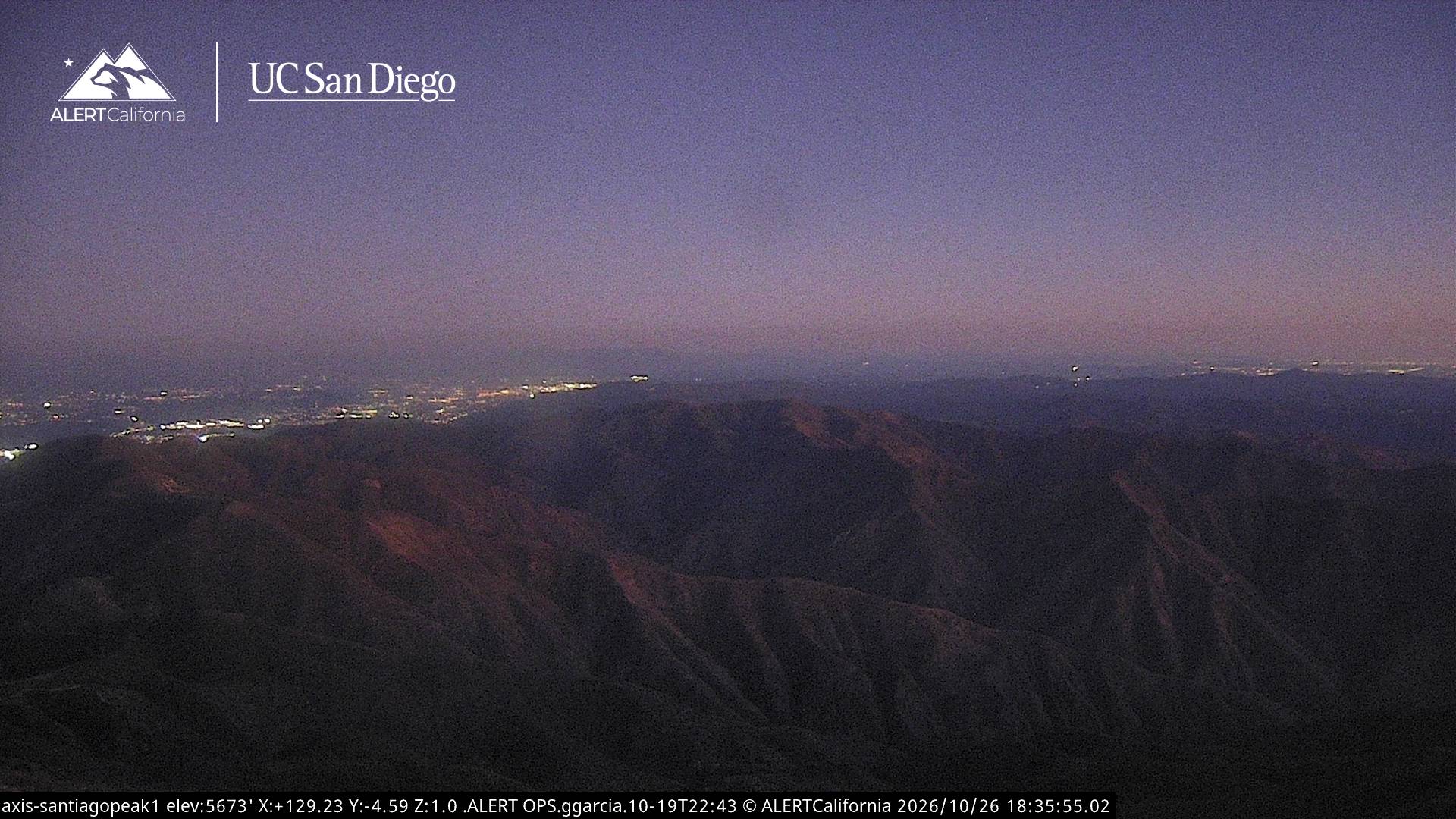
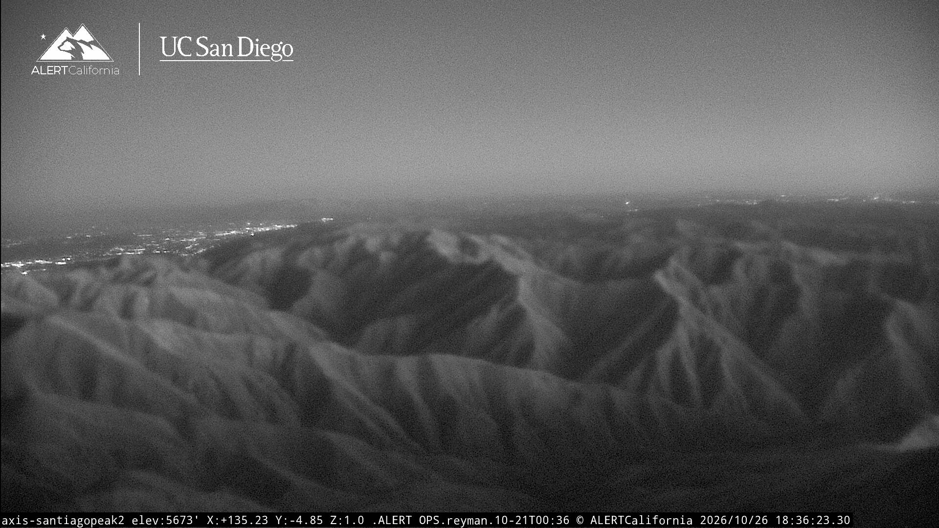
Webcams près de Trabuco Peak
Histoire autour de Trabuco Peak
- 2023 Trabuco Canyon shooting2023
- Bond Fire2020
- Holy Fire2018
- Santiago Fire2007
Villes près de Trabuco Peak
- Rancho Santa Margaritaà 14 km
- Lake Elsinoreà 14 km
- Canyon Lakeà 20 km
- Lake Forestà 21 km
- Ladera Ranchà 21 km
- Coronaà 21 km