Aiguille Rouge
3,227 m10,587 ft
山 · ヴァノワーズ山 · フランス
Aiguille Rouge is a mountain of Savoie, France. It lies in the Vanoise Massif and has an elevation of 3,227 metres above sea level. It is the highest point within the ski area of Les Arcs and is a fairly easy hike from the village below. It can also be accessed by a cable-car which almost reaches the summit area.
出典: Wikipedia、CC BY-SA · 記事を読む
山頂 · 1:00 の予報
-5 °C晴れ時々曇り · 北東の風 3 km/h
 3D で見る
Aiguille Rouge 山頂の天気(3,227 m)
- 1:00-5 °C北東 3 km/h–
- 4:00-4 °C北西 4 km/h–
- 7:00-6 °C北 3 km/h–
- 10:00-1 °C西 3 km/h–
- 13:001 °C西 7 km/h–
- 16:000 °C西 8 km/h–
- 19:00-4 °C北西 2 km/h–
- 22:00-6 °C東 5 km/h–
| 日付 | 天気 | 最高 / 最低 | 雨 | 最大風速 |
|---|---|---|---|---|
| 今日 | 快晴 | 1 °C / -7 °C | – | 8 km/h |
| 10月29日(木) | 快晴 | 3 °C / -8 °C | – | 8 km/h |
| 10月30日(金) | 晴れ | 1 °C / -7 °C | 0.1 mm | 6 km/h |
| 10月31日(土) | 快晴 | 2 °C / -10 °C | – | 8 km/h |
| 11月1日(日) | 快晴 | 2 °C / -7 °C | – | 6 km/h |
| 11月2日(月) | 晴れ | -1 °C / -7 °C | 0.1 mm | 7 km/h |
| 11月3日(火) | 快晴 | -2 °C / -9 °C | 0.1 mm | 5 km/h |
MET Norway(CC BY 4.0)による予報。00:18 GMT+1 更新。時刻は現地時間です。
基本データ
- 種類
- 山
- 標高
- 3,227 m (10,587 ft)
- プロミネンス
- 292 m (958 ft)
- 孤立度
- より高い地点まで 2.8 km
- 山脈
- ヴァノワーズ山
- 国
- フランス
- 座標
- 45.552°N 6.849°E
Aiguille Rouge
Mountain in France
Aiguille Rouge is a mountain of Savoie, France. It lies in the Vanoise Massif and has an elevation of 3,227 metres above sea level. It is the highest point within the ski area of Les Arcs and is a fairly easy hike from the village below. It can also be accessed by a cable-car which almost reaches the summit area. In 2019 a footbridge was installed at the summit that offers a panoramic view of the valley.
出典: Wikipedia、CC BY-SA · 記事を読む
Aiguille Rouge周辺の山
- Aiguille de la Grande Sassière3,751 m · 13 km先地図上
- Grande Casse3,855 m · 16 km先地図上
- Pierra Menta2,714 m · 18 km先地図上
- Aiguille de Tré la Tête3,911 m · 27 km先地図上
- Punta Baretti4,013 m · 29 km先地図上
- Picco Luigi Amedeo4,469 m · 29 km先地図上
- Mont Brouillard4,069 m · 30 km先地図上
- Dômes de Miage3,673 m · 30 km先地図上
- Dent Parrachée3,697 m · 30 km先地図上
- Aiguille Blanche de Peuterey4,112 m · 30 km先地図上
ヴァノワーズ山の最高峰
- Grande Casse3,855 m地図上
- Mont Pourri3,779 m地図上
- Dent Parrachée3,697 m地図上
- グランドモット3,653 m地図上
- Aiguille de Péclet3,566 m地図上
- Pointe de l'Échelle3,422 m地図上
- Pointe du Bouchet3,420 m地図上
- Sommet de Bellecôte3,417 m地図上
- Aiguille Rouge3,227 m地図上
フランスの高い山
- モンブラン4,806 m地図上
- Pointe Walker4,208 m地図上
- グランド・ジョラス4,208 m地図上
- エギーユ・ヴェルト4,122 m地図上
- バール・デゼクラン山4,102 m地図上
- ラ・メイジュ3,983 m地図上
- エールフロアド3,954 m地図上
- Mont Pelvoux3,946 m地図上
- Pic Sans Nom3,913 m地図上
- Aiguille de Tré la Tête3,911 m地図上
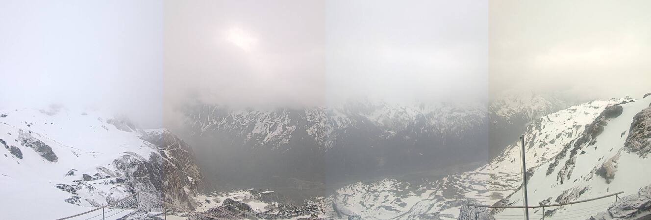
Aiguille Rouge周辺のライブカメラ



Aiguille Rouge周辺の歴史
Aiguille Rouge周辺の町
- アルベールヴィル38 km先
- Aosta42 km先
- セロンシ47 km先
- クリューズ61 km先
- Martigny-Ville64 km先
- アヌシー=ル=ヴュー68 km先