Cathedral Rock
6,722 ft2,049 m
山 · カスケード山脈 · アメリカ合衆国
Cathedral Rock 6,724-foot (2,049-metre) mountain located in the Cascade Range, in Kittitas County of Washington state. It is situated within the Alpine Lakes Wilderness, on land managed by Wenatchee National Forest.
出典: Wikipedia、CC BY-SA · 記事を読む
山頂 · 0:00 の予報
20 °F霧 · 南東の風 3 mph
 3D で見る
Cathedral Rock 山頂の天気(6,722 ft)
- 0:0020 °F南東 3 mph–
- 3:0017 °F南東 4 mph–
- 6:0011 °F東 5 mph–
- 9:0018 °F東 5 mph–
- 12:0029 °F南東 8 mph–
- 15:0028 °F南東 9 mph–
- 18:0022 °F東 7 mph–
- 21:0022 °F東 8 mph–
| 日付 | 天気 | 最高 / 最低 | 雨 | 最大風速 |
|---|---|---|---|---|
| 今日 | 晴れ時々曇り | 30 °F / 11 °F | – | 9 mph |
| 10月30日(金) | 曇り | 31 °F / 16 °F | 0.18 インチ | 7 mph |
| 10月31日(土) | 小雪 | 31 °F / 9 °F | 0.04 インチ | 4 mph |
| 11月1日(日) | 快晴 | 26 °F / 16 °F | – | 3 mph |
| 11月2日(月) | 曇り | 39 °F / 16 °F | – | 3 mph |
| 11月3日(火) | 快晴 | 39 °F / 24 °F | – | 6 mph |
| 11月4日(水) | 快晴 | 40 °F / 25 °F | – | 8 mph |
MET Norway(CC BY 4.0)による予報。12:19 GMT-7 更新。時刻は現地時間です。
基本データ
- 種類
- 山
- 標高
- 6,722 ft (2,049 m)
- 山脈
- カスケード山脈
- 座標
- 47.555°N 121.135°W
Cathedral Rock (Washington)
Mountain in Washington (state), United States
Cathedral Rock 6,724-foot (2,049-metre) mountain located in the Cascade Range, in Kittitas County of Washington state. It is situated within the Alpine Lakes Wilderness, on land managed by Wenatchee National Forest. Its nearest higher peak is The Citadel, 1.7 mi (2.7 km) to the southwest, and the dominant mountain in the area, Mount Daniel, rises 2.2 mi (3.5 km) to the west-northwest.
出典: Wikipedia、CC BY-SA · 記事を読む
Cathedral Rock周辺の山
- Mount Daniel7,959 ft · 3.5 km先地図上
- Mount Hinman7,492 ft · 6.2 km先地図上
- Iron Cap Mountain6,348 ft · 11 km先地図上
- Harding Mountain7,172 ft · 12 km先地図上
- Chimney Rock7,727 ft · 12 km先地図上
- Overcoat Peak7,432 ft · 13 km先地図上
- Lemah Mountain7,480 ft · 14 km先地図上
- Hawkins Mountain7,160 ft · 15 km先地図上
- Chikamin Peak7,000 ft · 16 km先地図上
- Alaska Mountain5,745 ft · 19 km先地図上
カスケード山脈の最高峰
- レーニア山14,400 ft地図上
- アダムズ山12,280 ft地図上
- Mount McLoughlin9,495 ft地図上
- Mount Thielsen9,183 ft地図上
- ブロークン・トップ9,177 ft地図上
- Black Peak8,976 ft地図上
- Dome Peak8,921 ft地図上
- Silver Star Mountain8,875 ft地図上
- Cathedral Rock6,722 ft地図上
アメリカ合衆国の高い山
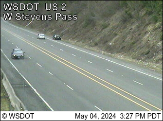
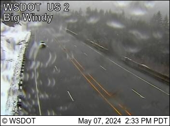
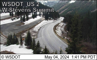
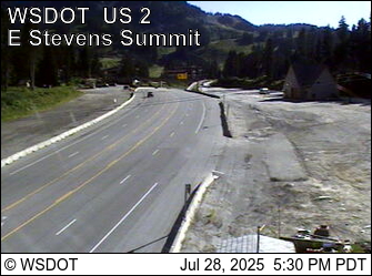
Cathedral Rock周辺のライブカメラ
Cathedral Rock周辺の歴史
- Jack Creek Fire2017
Cathedral Rock周辺の町
- Roslyn32 km先
- Leavenworth36 km先
- Cle Elum42 km先
- Sultan61 km先
- ワナッチー64 km先
- East Wenatchee66 km先