Dave's Peak
10,579 ft3,225 m
山 · ソートゥース山脈 · アメリカ合衆国
Dave's Peak, at 10,579 feet (3,224 m) above sea level is an unofficially named peak that is the ninth highest peak in the Sawtooth Range of Idaho. The peak is located in the Sawtooth Wilderness of Sawtooth National Recreation Area in Custer County.
出典: Wikipedia、CC BY-SA · 記事を読む
山頂 · 17:00 の予報
21 °F小雪 · 南西の風 5 mph
Dave's Peak 山頂の天気(10,579 ft)
- 17:0021 °F南西 5 mph0.04 インチ
- 20:0016 °F南西 2 mph–
- 23:0010 °F南西 3 mph–
- 2:0015 °F南西 3 mph–
- 5:0016 °F南西 4 mph–
- 8:0014 °F南 5 mph–
- 11:0018 °F南西 6 mph–
- 14:0023 °F南西 9 mph–
| 日付 | 天気 | 最高 / 最低 | 雨 | 最大風速 |
|---|---|---|---|---|
| 10月28日(水) | 晴れ時々曇り | 24 °F / 6 °F | – | 10 mph |
| 10月29日(木) | 晴れ | 31 °F / 3 °F | – | 7 mph |
| 10月30日(金) | 雪 | 27 °F / 20 °F | 0.14 インチ | 7 mph |
| 10月31日(土) | 雪 | 27 °F / 12 °F | 0.19 インチ | 2 mph |
| 11月1日(日) | 雪 | 22 °F / 14 °F | 0.35 インチ | 7 mph |
| 11月2日(月) | 晴れ時々曇り | 19 °F / 5 °F | – | 2 mph |
| 11月3日(火) | 曇り | 33 °F / 9 °F | – | 2 mph |
MET Norway(CC BY 4.0)による予報。13:17 GMT-6 更新。時刻は現地時間です。
基本データ
- 種類
- 山
- 標高
- 10,579 ft (3,225 m)
- プロミネンス
- 359 ft (109 m)
- 山脈
- ソートゥース山脈
- 親ピーク
- Mount Cramer
- 座標
- 44.019°N 114.976°W
Dave's Peak
Mountain in Idaho, United States
Dave's Peak, at 10,579 feet (3,224 m) above sea level is an unofficially named peak that is the ninth highest peak in the Sawtooth Range of Idaho. The peak is located in the Sawtooth Wilderness of Sawtooth National Recreation Area in Custer County. The peak is located 0.65 mi (1.05 km) northeast of Mount Cramer, its line parent.
出典: Wikipedia、CC BY-SA · 記事を読む
Dave's Peak周辺の山
- Sevy Peak10,480 ft · 0.6 km先地図上
- Mount Cramer10,716 ft · 1.1 km先地図上
- Decker Peak10,704 ft · 2.7 km先地図上
- Payette Peak10,221 ft · 3.2 km先地図上
- Imogene Peak10,125 ft · 4.4 km先地図上
- Elk Peak10,582 ft · 4.9 km先地図上
- Packrat Peak10,240 ft · 6.6 km先地図上
- Parks Peak10,280 ft · 6.7 km先地図上
- Grand Mogul9,733 ft · 6.9 km先地図上
- Braxon Peak10,353 ft · 8.4 km先地図上
親ピーク
プロミネンスの基準となる、最も近いより高い山。
- Mount Cramer10,716 ft地図上
Dave's Peakの下位の山
ソートゥース山脈の最高峰
- Thompson Peak10,751 ft地図上
- Mount Cramer10,716 ft地図上
- Snowyside Peak10,651 ft地図上
- Elk Peak10,582 ft地図上
- Dave's Peak10,579 ft地図上
- Horstmann Peak10,475 ft地図上
- Mount Regan10,190 ft地図上
アメリカ合衆国の高い山
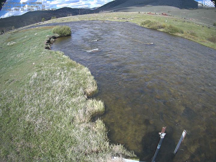
Dave's Peak周辺のライブカメラ
Dave's Peak周辺の町
- Sun Valley64 km先
- Hailey78 km先