オーストリアの山
Glatthorn
2,133 m6,998 ft
山 · Lechquellen Mountains · オーストリア
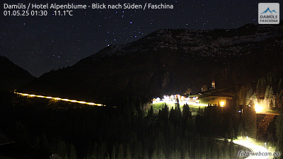
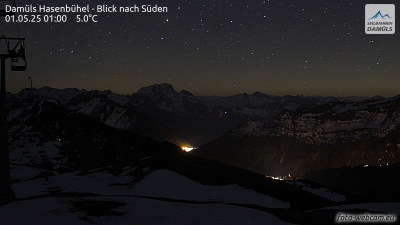
The Glatthorn in Vorarlberg in Austria is the highest mountain in the Bregenz Forest Mountains with a height of 2,133 m (AA). It lies west of and above the saddle of Faschinajoch, between Damüls to the north and Fontanella in the Großwalsertal to the south.
出典: Wikipedia、CC BY-SA · 記事を読む
Bregenz Forest Mountainsの最高地点
山頂 · 5:00 の予報
1 °C晴れ · 南東の風 6 km/h
 3D で見る
Glatthorn 山頂の天気(2,133 m)
- 5:001 °C南東 6 km/h–
- 8:003 °C南東 8 km/h–
- 11:0011 °C南 4 km/h–
- 14:0012 °C北西 6 km/h–
- 17:007 °C北東 1 km/h–
- 20:005 °C南 3 km/h–
- 23:002 °C南東 4 km/h–
- 2:002 °C東 4 km/h–
| 日付 | 天気 | 最高 / 最低 | 雨 | 最大風速 |
|---|---|---|---|---|
| 今日 | 快晴 | 12 °C / 0 °C | – | 8 km/h |
| 10月28日(水) | みぞれ | 3 °C / -1 °C | 3.8 mm | 9 km/h |
| 10月29日(木) | 晴れ時々曇り | 4 °C / -3 °C | – | 8 km/h |
| 10月30日(金) | 快晴 | 4 °C / -4 °C | – | 6 km/h |
| 10月31日(土) | 晴れ | 5 °C / -4 °C | – | 5 km/h |
| 11月1日(日) | 快晴 | 5 °C / -2 °C | – | 6 km/h |
| 11月2日(月) | 快晴 | 3 °C / -4 °C | – | 6 km/h |
MET Norway(CC BY 4.0)による予報。02:17 GMT+1 更新。時刻は現地時間です。
基本データ
- 種類
- 山
- 標高
- 2,133 m (6,998 ft)
- プロミネンス
- 647 m (2,123 ft)
- 孤立度
- より高い地点まで 6.1 km
- 山脈
- Lechquellen Mountains
- 親ピーク
- Hochscherekopf
- 最高地点となる場所
- Bregenz Forest Mountains
- 座標
- 47.265°N 9.879°E
Glatthorn周辺の山
- Damülser Mittagsspitze2,095 m · 5.1 km先地図上
- Rote Wand2,703 m · 12 km先地図上
- Braunarlspitze2,649 m · 15 km先地図上
- Mohnenfluh2,542 m · 17 km先地図上
- Widderstein2,533 m · 19 km先地図上
- Hoher Ifen2,230 m · 19 km先地図上
- Untere Wildgrubenspitze2,753 m · 22 km先地図上
- Geißhorn2,366 m · 22 km先地図上
- Biberkopf2,599 m · 27 km先地図上
- Schesaplana2,965 m · 27 km先地図上
Glatthornの下位の山
- Türtschhorn2,096 m地図上
- Damülser Mittagsspitze2,095 m地図上
- Damülser Horn1,929 m地図上
- Sonnenköpfle1,877 m地図上
Lechquellen Mountainsの最高峰
- Untere Wildgrubenspitze2,753 m地図上
- Rote Wand2,703 m地図上
- Spullerschafberg2,679 m地図上
- Braunarlspitze2,649 m地図上
- Western Johanneskopf2,572 m地図上
- Mohnenfluh2,542 m地図上
- Karhorn2,416 m地図上
- Schafberg2,412 m地図上
- Glatthorn2,133 m地図上
オーストリアの高い山
- グロースグロックナー山3,798 m地図上
- ヴィルトシュピッツェ3,768 m地図上
- ヴァイスクーゲル3,738 m地図上
- Großvenediger3,657 m地図上
- Hintere Schwärze3,624 m地図上
- Großes Wiesbachhorn3,564 m地図上
- Ramolkogel3,549 m地図上
- Schalfkogel3,537 m地図上
- ヴァッツェシュピッツェ3,532 m地図上
- フィンアイルシュピッツェ3,514 m地図上